WestwoodPA
A town of 1,613.
Is Westwood a good place to live?
39% of residents are 65 or older in Westwood, above both the Pennsylvania town median (21%) and the median of U.S. towns (18%). The biggest park or preserve is Stackhouse Park, at 31 acres. We don’t grade Westwood yet; the figures below are still real.
Moving to Westwood: who provides what
Westwood is unincorporated, so Cambria County and regional agencies provide most services.
EPA SDWIS (Oct 9, 2026) · HIFLD + EIA-861 2025 · Census 2020 ZCTAs · NCES 2024–25 · registration: vote.gov, updated Nov 18, 2024.
The data
Ordered by what stands out in Westwood.
Inland flooding leads a very low hazard risk in Westwood
Expected storm and flood damage is lower than in 94% of U.S. communities.
FEMA National Risk Index · OpenFEMA
In Westwood, expect snowy winters and pleasant summers
Westwood has chilly, snowy winters and pleasant summers. At 83°F, Westwood’s July high is close to Pennsylvania’s towns (85°F) and below U.S. towns (85°F).
Typical low → high °F
NOAA U.S. Climate Normals, 1991–2020
Westwood stands out in Pennsylvania and nationally, with the median household income lower than most
Westwood’s median household income is $44,000. Most working residents leave Westwood for work: only 4% work in town. 12% of Westwood residents live below the poverty line.
| Westwood | Pennsylvania towns | U.S. towns | |
|---|---|---|---|
| Median household income | $44,000 | $81,000 | $80,000 |
| Below the poverty line | 12% | 7.6% | 9.6% |
| Working residents who work in town | 3.8% | 6.3% | 8% |
| Average trip to work | 24 minutes | 26 minutes | 25 minutes |
Where working residents work
Census LEHD 2023 · ACS
A larger share of adults have high blood pressure in Westwood than in most of Pennsylvania or the rest of the country
44% of adults have high blood pressure in Westwood. Westwood beats the Pennsylvania average on 4 of 26 CDC measures and trails it on 12. 16% of adults have diabetes in Westwood.
| Westwood | Pennsylvania towns | U.S. towns | |
|---|---|---|---|
| High blood pressure (CDC PLACES) | 44% | 34% | 35% |
| Binge drink (CDC PLACES) | 14% | 18% | 16% |
| Diabetes (CDC PLACES) | 16% | 11% | 12% |
| Frequent physical distress (CDC PLACES) | 17% | 14% | 14% |
| What stands out | Westwood | PA |
|---|---|---|
| Fewer binge drinkers | 13.6% | 18.3% |
| More adults treating high blood pressure | 86% | 79.2% |
| More adults with COPD | 12.7% | 7.7% |
CDC PLACES 2025 · modeled estimates for adults · CMS · HRSA
3.7% of Westwood is conserved land
1.0 miles of trail in 1 park or preserve. The trail density in Westwood is 0.8 miles per square mile.
| Westwood | Pennsylvania towns | U.S. towns | |
|---|---|---|---|
| Miles of trail per square mile | 0.8 miles per square mile | 0.4 | 0.4 |
| Conserved land | 3.7% | 8.2% | 4.3% |
| Biggest places to walk | Trails | Acres |
|---|---|---|
| 1. Stackhouse Park | — | 31 |
Trails & parks © OpenStreetMap contributors · Conserved land: USGS PAD-US
Flight 93 National Memorial and 18 more within 40 miles
Museums, parks, gardens and other places to visit around Westwood. Close and well known come first.
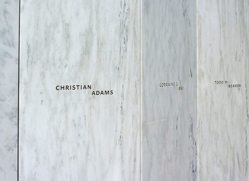 Big draw17 mi National MemorialFlight 93 National Memorial286K visitors a year
 10 mi DamSouth Fork Dam
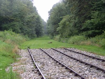 5 mi National Historic SiteAllegheny Portage Railroad National Historic Site163K visitors a year
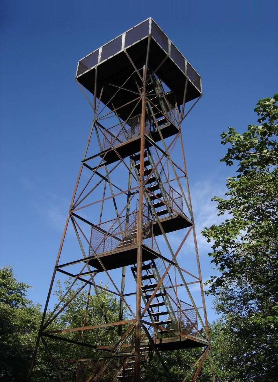 40 mi MountainMount Davis18 mi Theme parkIdlewild and Soak Zone
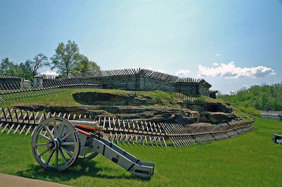 16 mi MuseumFort Ligonier
Photo credits
Flight 93 National Memorial: James Steakley, CC BY-SA 3.0 · South Fork Dam: Ernest Walter Histed, Public domain · Allegheny Portage Railroad National Historic Site: Matthew A. Lynn; Original uploader was Mosamiazaz at en.wikipedia, Public domain · Mount Davis: Wikiuser100, CC BY-SA 3.0 · Fort Ligonier: The original uploader was Mind meal at English Wikipedia., CC BY-SA 2.0


Everything we know about Westwood
Colleges nearby
3 within 15 miles of the center of Westwood
About 3 of every 100 Westwood residents are enrolled in college, against 6 across Pennsylvania.
About Westwood
Unincorporated community in Pennsylvania, US
Westwood is a census-designated place (CDP) in Cambria County, Pennsylvania, United States. It was first listed as a CDP prior to the 2020 census. The CDP is in southwestern Cambria County, in the eastern part of Lower Yoder Township. It is bordered to the north by the city of Johnstown, to the east by the borough of Brownstown, and to the south by the borough of Westmont. It sits on a hilltop at elevations ranging from 1,700 to 1,800 feet (520 to 550 m), about 500 to 600 feet (150 to 180 m) above the valley of the Conemaugh River, where Johnstown sits.
From Wikipedia, licensed CC BY-SA 4.0 · facts via Wikidata (CC0)
- Area
- 1.3 sq mi
- Elevation
- 1,736 ft
Westwood’s neighbors
4 towns share a border with Westwood.
| Town | PA rank | Overall | Cost | Safety | Schools | Health |
|---|---|---|---|---|---|---|
| Westwood | — | — | — | — | — | — |
| Lower Yoder Township | — | — | A− | — | D | C |
| Westmont | #442 | B+ | B− | — | B | B+ |
| Johnstown | #1004 | D | A | D | D | D− |
| Brownstown | — | — | — | — | — | — |
Lower Yoder Township has fewer than 2,500 residents, so it gets subject grades but no overall grade. Lower Yoder Township and Westmont report no FBI crime data of their own. Westwood and Brownstown aren’t graded (fewer than 1,000 residents, or not enough data). Compare Westwood with a neighbor →
Questions about Westwood
Short answers, built from the data on this page.
Is Westwood, PA a good place to live?
We don’t grade Westwood yet; the figures below are still real.