204 years in pictures
Census counts: 624 in 1930, 2,251 in 2020. The archive holds 6 maps from 1905 on.
2 places on the National Register of Historic Places.
- 1822West Nantmeal Township is settled
Each edition grades its towns against each other only.

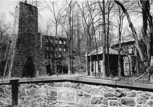
The best of West Nantmeal Township’s subject grades are an A for incomes and history and an A− for schools; the weakest is a C for cost of living. Only 147 of Pennsylvania’s 1,751 towns score higher on hazard risk. West Nantmeal Township is easier to get around on foot or by transit than 68% of U.S. towns. 35% of the land in West Nantmeal Township is conserved, above both the Pennsylvania town median (8.2%) and the median of U.S. towns (4.3%). West Nantmeal Township has 2 places on the National Register of Historic Places, among them Isabella Furnace and Pleasant Hill Plantation. West Nantmeal Township has fewer than 2,500 residents, so it gets subject grades but no overall grade.
Where West Nantmeal Township beats most towns.
Pleasant Hill Plantation| Widest gap | West Nantmeal Township | PA |
|---|---|---|
| Fewer older adults who have lost all their teeth | 11.1% | 14.5% |
Where West Nantmeal Township’s working residents go each day. Line width shows the share.
Census LEHD 2023
Each subject compared with towns across the country (schools within Pennsylvania), ordered by how far West Nantmeal Township is from typical.
How TownRatings grades towns →
Census counts: 624 in 1930, 2,251 in 2020. The archive holds 6 maps from 1905 on.
2 places on the National Register of Historic Places.
Museums, parks, gardens and other places to visit around West Nantmeal Township. Close and well known come first.
Big draw39 mi MuseumUSS New Jersey
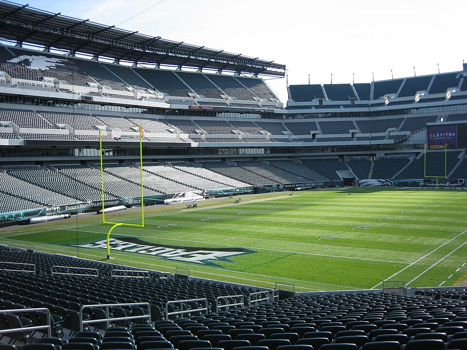
Big draw38 mi Stadium & arenaLincoln Financial Field
Big draw38 mi Stadium & arenaXfinity Mobile Arena
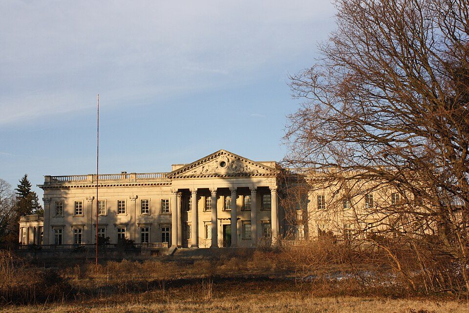
Big draw36 mi MuseumLynnewood Hall
Big draw37 mi Ancient siteIndependence Hall3.0M visitors a year
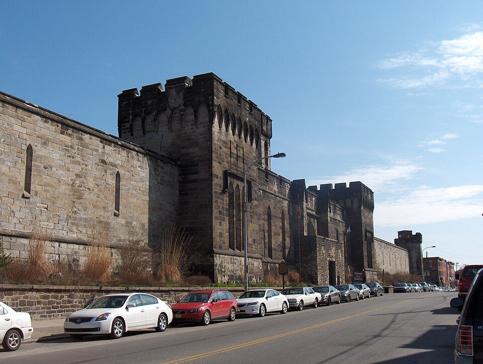
Big draw36 mi MuseumEastern State PenitentiaryUSS New Jersey: Camera Operator: PH3 BRYANT, Public domain · Lincoln Financial Field: The original uploader was Betp at French Wikipedia., CC BY-SA 3.0 · Xfinity Mobile Arena: Jen Smith, CC BY 3.0 · Lynnewood Hall: Shuvaev, CC BY-SA 3.0 · Independence Hall: Mys 721tx, CC BY-SA 3.0 · Eastern State Penitentiary: Davidt8, Public domain
Who provides power, water and the rest in West Nantmeal Township, and how to reach them.
EPA SDWIS (Oct 9, 2026) · HIFLD + EIA-861 2025 · Census 2020 ZCTAs · NCES 2024–25 · registration: vote.gov, updated Nov 18, 2024.
Ordered by what stands out in West Nantmeal Township.
The FEMA risk score for West Nantmeal Township comes to 7 of 100. Expected losses in West Nantmeal Township break down as 42% from inland flooding and 23% from drought. One claim on flood insurance has been paid out locally since 1979.
FEMA National Risk Index · OpenFEMA
Trails run 1.3 miles in 2 parks and preserves. The biggest park or preserve is State Game Lands Number 43, at 149 acres. West Nantmeal Township’s density of trails stands at 0.1 miles per square mile.
| Biggest places to walk | Trails | Acres |
|---|---|---|
| 1. State Game Lands Number 43 | 0.6 mi | 149 |
| 2. West Nantmeal Recreation Area | 0.6 mi | 23 |
Trails & parks © OpenStreetMap contributors · Conserved land: USGS PAD-US
Between 2013 and 2023, jobs in West Nantmeal Township rose by 52, to 706. For most workers, West Nantmeal Township is a place to come home to: only 5% work in town. In West Nantmeal Township, the typical household income is $126,000. The median commute is under 16 miles.
| West Nantmeal Township | Pennsylvania towns | U.S. towns | |
|---|---|---|---|
| Median household income | $126,000 | $81,000 | $80,000 |
| Work from home | 21% | 12% | 11% |
| Below the poverty line | 4.7% | 7.6% | 9.6% |
| Average trip to work | 28 minutes | 26 minutes | 25 minutes |
Census LEHD 2023 · ACS
West Nantmeal Township: 13% of adults report frequent physical distress. In West Nantmeal Township, a third of adults sleep under 7 hours, and 32% have obesity.
| West Nantmeal Township | Pennsylvania towns | U.S. towns | |
|---|---|---|---|
| Frequent mental distress (CDC PLACES) | 14% | 16% | 17% |
| Sleep under 7 hours (CDC PLACES) | 33% | 38% | 36% |
| Obesity (CDC PLACES) | 32% | 35% | 35% |
| Depression (CDC PLACES) | 22% | 24% | 23% |
| What stands out | West Nantmeal Township | PA |
|---|---|---|
| Fewer older adults who have lost all their teeth | 11.1% | 14.5% |
| Fewer adults in frequent mental distress | 14.4% | 16.4% |
| More adults who have had cancer | 11% | 8.8% |
CDC PLACES 2025 · modeled estimates for adults · CMS · HRSA
Expect July afternoons of 85° and January nights of 22°, with about 26 inches of snow a winter.
NOAA U.S. Climate Normals, 1991–2020
The share of residents in West Nantmeal Township who are 65 or older: 26%. 39% of adults 25 and older have a bachelor’s degree or more, vs 35% across Pennsylvania. In West Nantmeal Township, the median age is 41 years.
| West Nantmeal Township | Pennsylvania towns | U.S. towns | |
|---|---|---|---|
| Aged 65 or older | 26% | 21% | 18% |
| Under 18 | 18% | 20% | 22% |
| Bachelor’s degree or more, 25+ | 39% | 29% | 29% |
| Median age | 41 years | 43.2 years | 40.5 years |
53% women, 47% men
That’s an even split within the survey’s margin of ±8.2 points. Across Pennsylvania, 50.7% of residents are women.
| West Nantmeal Township | PA | U.S. | |
|---|---|---|---|
| Under 10 | 11.1% | 10.8% | 11.6% |
| 10 to 17 | 6.5% | 9.7% | 10.3% |
| 18 to 24 | 6.5% | 9% | 9.1% |
| 25 to 34 | 15.7% | 13% | 13.7% |
| 35 to 44 | 13.1% | 12.6% | 13.2% |
| 45 to 54 | 5.2% | 11.9% | 12.2% |
| 55 to 64 | 16.1% | 13.6% | 12.7% |
| 65 to 74 | 12.3% | 11.4% | 10.2% |
| 75 and older | 13.6% | 8.1% | 7% |
| No diploma | 2.5% | 7.9% | 10.4% |
| High school | 38% | 32.9% | 26% |
| Some college | 14.1% | 15.1% | 19.1% |
| Associate’s | 6.2% | 8.9% | 8.8% |
| Bachelor’s | 26.6% | 20.9% | 21.6% |
| Graduate | 12.6% | 14.3% | 14.1% |
U.S. Census Bureau · ACS 2020-2024 5-year estimates · in a town of 2,300, single groups can be off by several points
3 within 15 miles of the center of West Nantmeal Township
About 3 of every 100 West Nantmeal Township residents are enrolled in college, against 6 across Pennsylvania.
2 places in West Nantmeal Township on the National Register of Historic Places.
Township in Pennsylvania, US
West Nantmeal Township is a township in Chester County, Pennsylvania, United States. The population was 2,251 at the 2020 census. It and East Nantmeal Township were originally part of a single Nantmeal Township, which was divided in 1739.
From Wikipedia, licensed CC BY-SA 4.0 · facts via Wikidata (CC0)
5 towns share a border with West Nantmeal Township.
| Town | PA rank | Overall | Cost | Safety | Schools | Health |
|---|---|---|---|---|---|---|
| West Nantmeal Township | — | — | C | — | A− | B+ |
| Honey Brook Township | #702 | B− | C− | — | A− | B− |
| East Nantmeal Township | — | — | D | — | A | A |
| Elverson | — | — | B− | — | A− | B |
| Wallace Township | #238 | A | C− | — | A+ | A+ |
| Caernarvon Township | — | — | — | — | — | — |
West Nantmeal Township, East Nantmeal Township and Elverson have fewer than 2,500 residents, so they get subject grades but no overall grade. West Nantmeal Township, Honey Brook Township, East Nantmeal Township, Elverson and Wallace Township report no FBI crime data of their own. Caernarvon Township isn’t graded (fewer than 1,000 residents, or not enough data). Compare West Nantmeal Township with a neighbor →
Short answers, built from the data on this page.
Cost of living, which also weighs rents, property taxes and how many households pay 30% or more of their income for housing, grades C.