Wikipedia doesn’t have a history of West Nanticoke yet. The photos, dates and memories neighbors add here are how it gets written.
West Nanticoke is a census-designated place (CDP) in Plymouth Township, Luzerne County, Pennsylvania, United States, across the Susquehanna River from the city of Nanticoke. The population of the CDP was 749 at the 2010 census.
Between the 2010 and 2020 censuses its population fell from 749 to 562 (-25%).
Intro from Wikipedia. Population: U.S. Census Bureau.
From the old history books
What they wrote about West Nanticoke in 1893
Passages that mention West Nanticoke, cut from the printed page as they were published.
History of Luzerne County, Pennsylvania, with biographical selections1893 · page 638Read the page →
Read the text
the site of the old Faulkner mill, that Col. Wright thinks must have been built as early as 1800, and iu the time of his boyhood was the principal flouring-mill in the town. The only mill now in operation in the township is the gristmill on Harvey's creek at West Nanticoke. This was built by Henry Yingst, a German from Dauphin county, for Joshua Pugh, about 1833. Mr. Yingst was the first miller employed in this mill. The mill has passed through the hands of several persons.
Text read by machine from the scan; it may contain errors.
History of Luzerne County, Pennsylvania, with biographical selections1893 · page 641Read the page →
Read the text
West Nanticoke is a colliery town just opposite Nanticoke and connected by a bridge. It is at the mouth of Harvey creek and at the terminus of the canal. A coal breaker and large mining industry constitutes the village. A railroad depot, hotel, store and toll gate and a large number of miners' cottages are the surroundings.
Text read by machine from the scan; it may contain errors.
Scans and text from the Internet Archive. Books published in 1930 or earlier, which are in the public domain.
By decade
No old photos in the archives yet
Weddings on Main Street, storms, parades, school pictures, the old store. If it’s in your family album, it belongs here.
Be the first to add onePhotograph a print flat, in daylight, no flash.
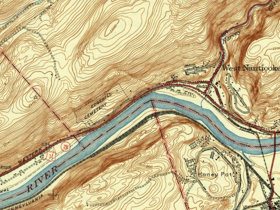
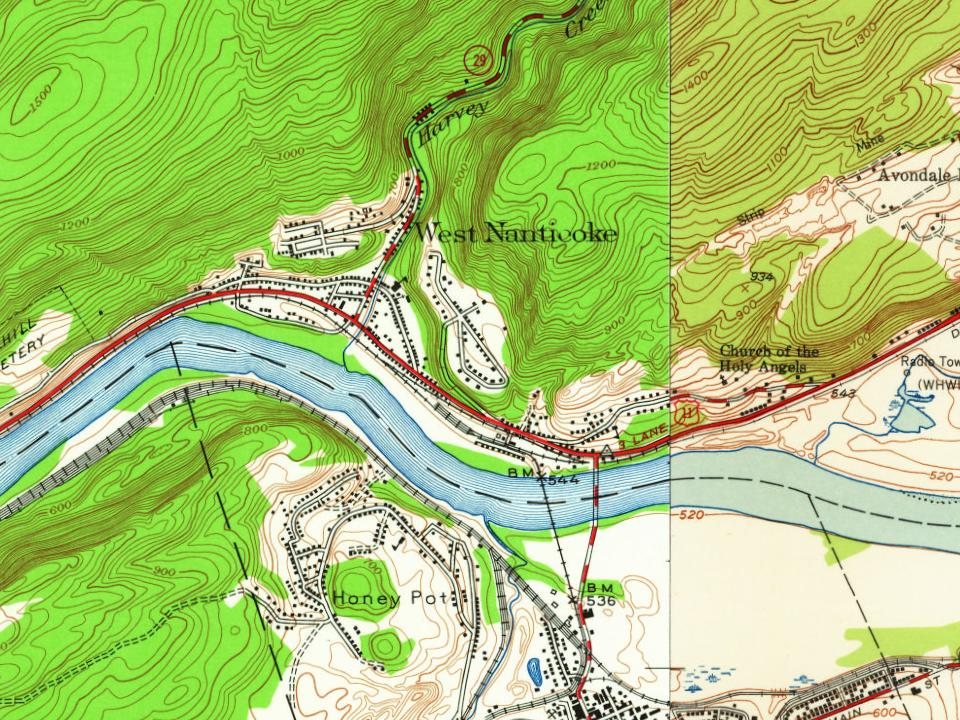
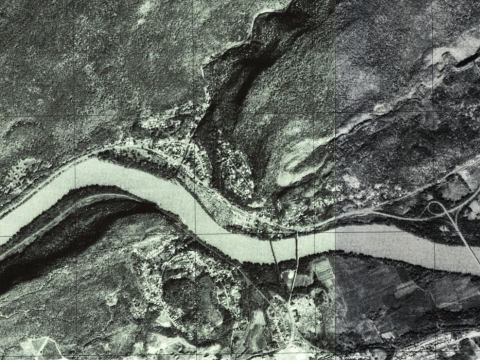
Every edition of the U.S. Geological Survey’s map of West Nanticoke. Tap a year, or press play to watch the town change.
1946Nanticoke sheet · 1:31,680
U.S. Geological Survey historical topographic maps (public domain), via Esri’s collection of the scans. The red ring marks the center of West Nanticoke.
Famous people
Famous people close to West Nanticoke
Nobody well known was born in West Nanticoke itself, so here are the best known from just nearby.
Founding dates: Wikidata, Wikipedia, the U.S. post office records of Blevins & Helbock (CC0) and the Census. Homes by year built: Census ACS 2020–24. National Register of Historic Places: National Park Service (list of May 22, 2026). Old photos, postcards and papers: Wikimedia Commons, the Library of Congress and other public archives, credited on each item’s page. Maps: U.S. Geological Survey historical topographic maps (via Esri) and Sanborn fire-insurance maps (Library of Congress). History text and census tables: Wikipedia (CC BY-SA 4.0). Places that used to be: USGS Geographic Names Information System (2021). How TownRatings grades history →
From U.S. Geological Survey historical maps and old county and town histories (Internet Archive). Archive images are copied here with their credits and licenses, shown on each photo’s page. Refreshed monthly.