
The story
Read it all →How West Middletown came to be
From Wikipedia’s history of West Middletown.
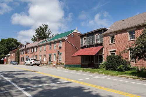
The West Middletown Historic District was listed on the National Register of Historic Places in 1985.
Text from Wikipedia, licensed CC BY-SA 4.0.
Each edition grades its towns against each other only.
1 place in town is on the National Register, among them a historic district with 48 buildings. Below: maps from 1907 on and the census since 1840.
West Middletown dates its founding to 1795 (Wikidata). The census first counted it in 1840.
Read from the archive, the National Register and the record. The page puts what stands out first.
The first neighbors to add old photos shape how West Middletown’s history is told.
The country’s official list of buildings and places worth saving.
National Park Service, National Register of Historic Places. Photos from Wikimedia Commons, credited on each place’s page.
From Wikipedia’s history of West Middletown.
The West Middletown Historic District was listed on the National Register of Historic Places in 1985.
Text from Wikipedia, licensed CC BY-SA 4.0.
Passages that mention West Middletown, cut from the printed page as they were published.

George W. Richie, Blarch 25, 1878, West Middletown Borough. — West Middletown is situated within the boundaries of the township of Hopewell, in its northwestern part, on the dividing ridge between the waters of Buffalo and Cross Creeks, and on the main road leading to Washington borough, which road forms the main street of the town. The borough of West Middletown now contains four
Text read by machine from the scan; it may contain errors.
David Thompson. Some ten or twelve years before he had emigrated from Ireland, and, traveling alone, found his way to the village of West Middletown, where he had some relatives residing. Possessed of a burning desire to obtain a liberal education, with the gospel ministry in view, and being without means of his own, and without friends on whom he could draw for help, he set himself to work, and by labor-
Text read by machine from the scan; it may contain errors.Scans and text from the Internet Archive. Books published in 1930 or earlier, which are in the public domain.
Woven from the archive, old maps, post office records, the National Register and the people born here.
 Born hereObadiah B. McFadden is born here
 On the mapFirst mapped by the U.S. Geological Survey
Weddings on Main Street, storms, parades, school pictures, the old store. If it’s in your family album, it belongs here.
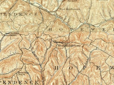
Every edition of the U.S. Geological Survey’s map of West Middletown. Tap a year, or press play to watch the town change.
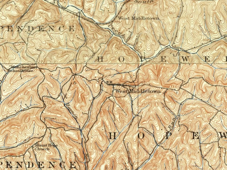
U.S. Geological Survey historical topographic maps (public domain), via Esri’s collection of the scans. The red ring marks the center of West Middletown.
Peaked at 346 in 1870; 109 people lived here in 2020.
19 censuses, 1840–2020.
U.S. Census Bureau decennial counts, from the census table on West Middletown’s Wikipedia page.
Writers, athletes, leaders and more, ranked by how widely they’re known.
In 1795, according to Wikidata. West Middletown’s post office opened in 1801, and the census of 1840 counted 260 people here.
One place: the West Middletown Historic District (listed 1985).
What the archives can’t tell you, neighbors can.
Founding dates: Wikidata, Wikipedia, the U.S. post office records of Blevins & Helbock (CC0) and the Census. Homes by year built: Census ACS 2020–24. National Register of Historic Places: National Park Service (list of May 22, 2026). Old photos, postcards and papers: Wikimedia Commons, the Library of Congress and other public archives, credited on each item’s page. Maps: U.S. Geological Survey historical topographic maps (via Esri) and Sanborn fire-insurance maps (Library of Congress). History text and census tables: Wikipedia (CC BY-SA 4.0). Places that used to be: USGS Geographic Names Information System (2021). How TownRatings grades history →
From Wikidata (1), the National Register of Historic Places (1), Wikipedia, Wikidata and Wikipedia for famous people, U.S. Geological Survey historical maps, U.S. Census counts (via Wikipedia), the US Post Offices dataset (Blevins & Helbock), the USGS Geographic Names Information System and old county and town histories (Internet Archive). Archive images are copied here with their credits and licenses, shown on each photo’s page. Refreshed monthly.

