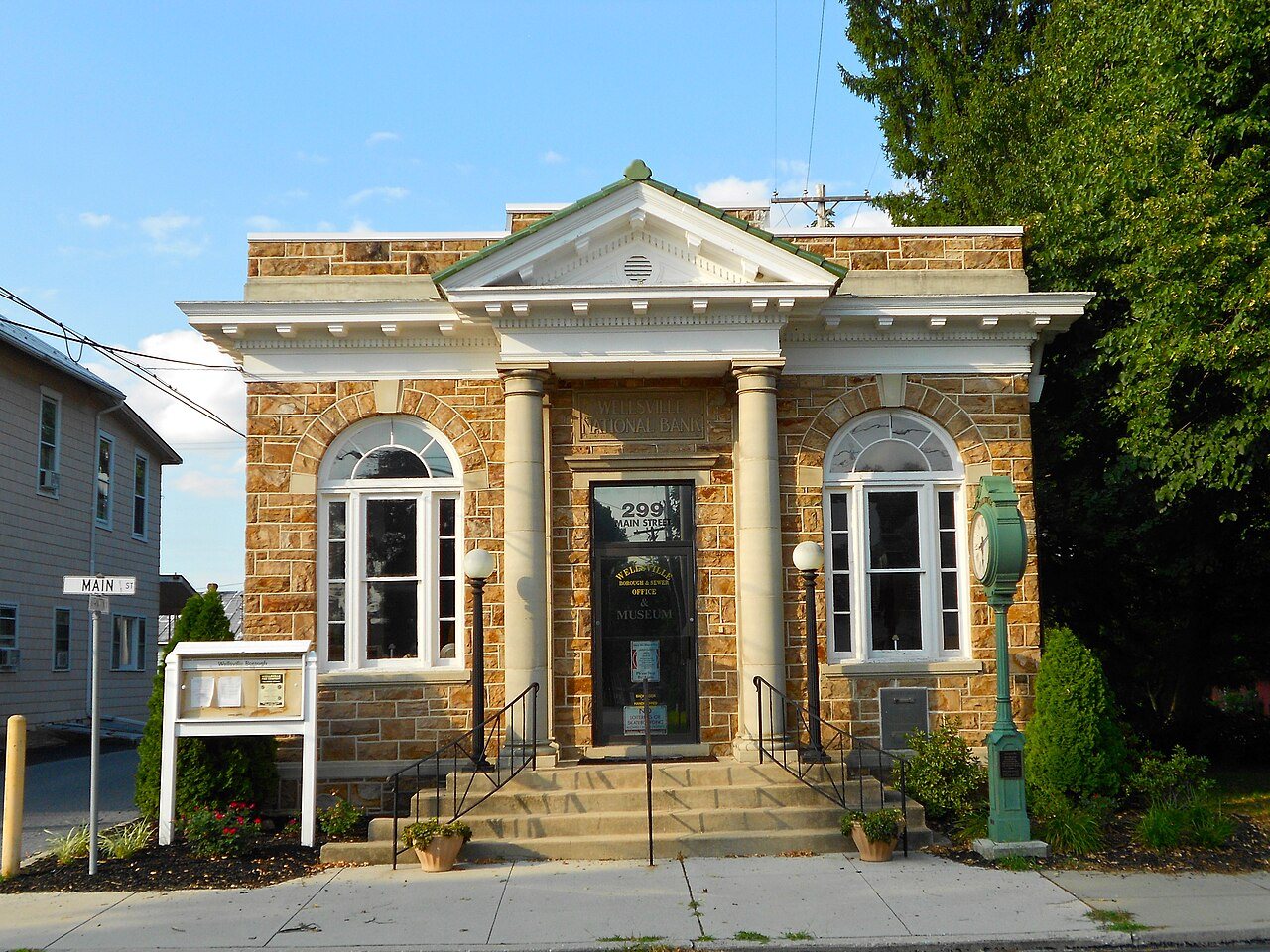
 Wellsville Historic District · Photo: Smallbones · CC0
Living in Wellsville, PA: what to set up and who to call
Power in Wellsville comes from Adams Electric Cooperative, a cooperative utility rather than a private company. Northern York County School District runs the public schools in Wellsville.
I’m new in town
What to set up in Wellsville, and who provides it. Tap an answer for the details and where they come from.
Power, water and internet
Who to call to start service at a new address in Wellsville.
Power comes from Adams Electric Cooperative
Adams Electric Cooperative (Adams Electric Cooperative Inc), a cooperative utility, serves all of Wellsville. Its homes paid an average of 15.4¢ per kWh in 2025, about $182 a month (its average across Pennsylvania).
Service territory: HIFLD Electric Retail Service Territories (map dated Aug 2023). Prices and customers: EIA-861, 2025.
7 home internet providers serve Wellsville
99% of 122 addresses can get 100/20 Mbps; 92% can get fiber.
| Provider | Technology | Addresses | Fastest (Mbps) |
|---|---|---|---|
| Blue Ridge Cable Technologies | Fiber, Cable | 99% | 2,000/2,000 |
| Xfinity | Cable | 43% | 1,200/35 |
| PA.net | Fixed wireless | 100% | 200/50 |
| Verizon | Fixed wireless | 93% | 300/20 |
| T-Mobile | Fixed wireless | 89% | 100/20 |
| AT&T | Fixed wireless | 79% | 25/3 |
FCC National Broadband Map, as of December 2025. Availability as providers report it, not speeds people get.
We don’t have Wellsville’s trash rules yet
Pickup rules, the dump and recycling in Wellsville.
Where your child goes to school
Public school districts and the school path by grade.
Wellsville is in Northern York County School District.
Test scores and every school: see Schools →U.S. Department of Education, NCES Common Core of Data, 2024–25. Enrollment rules and registration are the district’s.
Town hall and registering to vote
Who to call, and how to register.
Election office: FVAP local election office directory, updated Aug 2024; jurisdictions: EAC EAVS 2024. Registration rules and links: vote.gov, updated Nov 18, 2024.
Wellsville is in ZIP code 17365
ZIP codes where Wellsville residents live, with the share of the town in each.
| ZIP | Post office name | Share of Wellsville | ZIP’s residents in Wellsville |
|---|---|---|---|
| 17365 | Wellsville, PA | 100% | 11% |
Census 2020 ZIP Code Tabulation Areas, by census block; post office names: GeoNames (CC BY 4.0). ZIPs created since 2020 are missing.
Getting around, the ER and the library
One line each; the subject pages have the rest.
ER: CMS hospital data. Library: IMLS Public Libraries Survey, FY2024.
Questions about living in Wellsville
Who provides electricity in Wellsville?
Adams Electric Cooperative (Adams Electric Cooperative Inc), a cooperative utility. Its homes paid about 15.4¢ per kWh in 2025 (EIA).
What internet providers serve Wellsville?
Blue Ridge Cable Technologies, Xfinity, PA.net, Verizon, T-Mobile, AT&T (FCC, as of December 2025).
What ZIP codes are in Wellsville?
17365. Census 2020 ZIP Code Tabulation Areas.
What school district is Wellsville in?
Northern York County School District.
How do I register to vote in Wellsville?
In Pennsylvania you can register online until 15 days before Election Day, in person until 15 days before Election Day, or by mail (received 15 days before). Elections here are run by the York County Board of Elections. Check your registration at pavoterservices.pa.gov.
Sources & dates
Every answer above names its source. Here they are with their dates.
- Power: HIFLD Electric Retail Service Territories (map Aug 2023); EIA-861 final 2025.
- Trash: OpenStreetMap, Geofabrik extract of Oct 9, 2026. © OpenStreetMap contributors (ODbL).
- ZIP codes: Census 2020 ZCTA relationship files; GeoNames postal codes (CC BY 4.0).
- Schools: NCES Common Core of Data, 2024–25.
- Registration: vote.gov, updated Nov 18, 2024 (read Oct 10, 2026). Official sites and area codes: Wikidata.
- Election office: FVAP local election office directory (fetched Oct 10, 2026; each record dated), EAC EAVS 2024 jurisdictions; registration and lookup links from vote.gov’s state data, checked Oct 10, 2026.
- Internet: FCC National Broadband Map, as of December 2025.