The small borough is named after the first American president, George Washington. Before the time of the town's founding during the Revolutionary War, Fort Bosley stood along the eastern backs of Chillisquaque Creek near its confluence with Mud Creek. During, the early 20th century, millionaire Frank DeLong would often visit the borough to get away from the city. He ended up donating a school, which at the time was considered one of the best facilities in the country, to the town. He also turned the old Presbyterian Church into a memorial for his mother. Today, the old school building is now a nursing home, and the memorial still stands today, containing many historical artifacts. Recently, the remains of an 18th-century log cabin were discovered at the corner of Front and Water Streets, suggesting early settlement of permanent residents.
Every edition of the U.S. Geological Survey’s map of Washingtonville. Tap a year, or press play to watch the town change.
1935Hughesville sheet · 1:62,500
U.S. Geological Survey historical topographic maps (public domain), via Esri’s collection of the scans. The red ring marks the center of Washingtonville.
Then & now
Stand where they stood
No then-and-now pairs yet. Take a photo from the same spot as an old one and they appear here side by side.
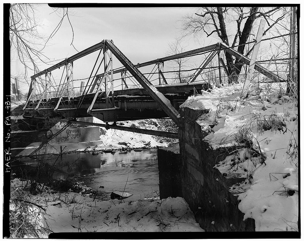
Retake this viewWashingtonville Bridge, Pennsylvania Legislative Route 47036, spanning Chillisquaque Creek (Derry Township)
Find the spot, match the angle, and add your photo. It becomes the first then-and-now pair on Washingtonville’s page.
Founding dates: Wikidata, Wikipedia, the U.S. post office records of Blevins & Helbock (CC0) and the Census. Homes by year built: Census ACS 2020–24. National Register of Historic Places: National Park Service (list of May 22, 2026). Old photos, postcards and papers: Wikimedia Commons, the Library of Congress and other public archives, credited on each item’s page. Maps: U.S. Geological Survey historical topographic maps (via Esri) and Sanborn fire-insurance maps (Library of Congress). History text and census tables: Wikipedia (CC BY-SA 4.0). Places that used to be: USGS Geographic Names Information System (2021). How TownRatings grades history →
From Wikimedia Commons (2), the Library of Congress (1), Wikipedia, Wikidata and Wikipedia for famous people, U.S. Geological Survey historical maps, U.S. Census counts (via Wikipedia), the US Post Offices dataset (Blevins & Helbock) and the USGS Geographic Names Information System. Archive images are copied here with their credits and licenses, shown on each photo’s page. Refreshed monthly.



 Date?
 2024
 2011


