Every edition of the U.S. Geological Survey’s map of Warminster Heights. Tap a year, or press play to watch the town change.
1893Germantown sheet · 1:62,500
U.S. Geological Survey historical topographic maps (public domain), via Esri’s collection of the scans. The red ring marks the center of Warminster Heights.
This neighborhood, built in 1943, formerly served as the civilian housing area for the long-defunct Brewster Aeronautical Corporation, established in 1941, while the area was still referred to as Johnsville. The military facility was later known as Johnsville Naval Air Base, separated from the residential area and later became the Naval Air Development Center and was finally known as the NAWC, Aircraft Division, Warminster prior to its being decommissioned and closed by the US federal government in the mid-1990s. The community was previously named Lacey Park, for Pennsylvania Militia General John Lacey, who fought during the American Revolutionary War at the Battle of Crooked Billet, which took place near the neighborhood. It is still referred to colloquially as Lacey Park by local residents.
Founding dates: Wikidata, Wikipedia, the U.S. post office records of Blevins & Helbock (CC0) and the Census. Homes by year built: Census ACS 2020–24. National Register of Historic Places: National Park Service (list of May 22, 2026). Old photos, postcards and papers: Wikimedia Commons, the Library of Congress and other public archives, credited on each item’s page. Maps: U.S. Geological Survey historical topographic maps (via Esri) and Sanborn fire-insurance maps (Library of Congress). History text and census tables: Wikipedia (CC BY-SA 4.0). Places that used to be: USGS Geographic Names Information System (2021). How TownRatings grades history →
From Wikimedia Commons (2), Wikipedia, U.S. Geological Survey historical maps and U.S. Census counts (via Wikipedia). Archive images are copied here with their credits and licenses, shown on each photo’s page. Refreshed monthly.
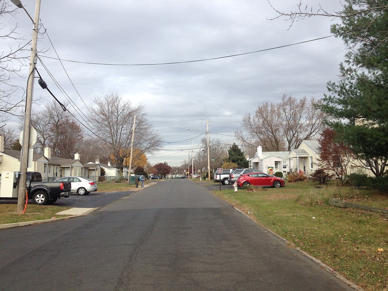


 2014
 2013


