Bethlehem Authority Tunkhannock
Nature preserve
7,579 acres25.5 mi of trail
Dog rules not recorded
No trailhead mapped yet
Each edition grades its towns against each other only.
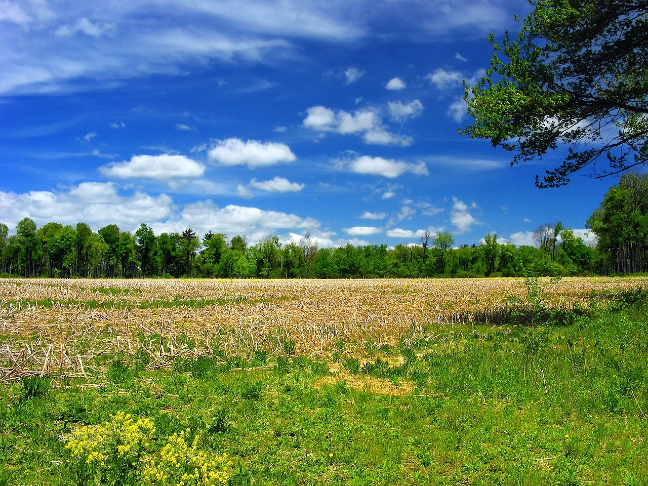 Photo: Nicholas · CC BY 2.0
59% of Tunkhannock Township’s land is conserved, about 14,581 acres. 58 miles of mapped trail cross Tunkhannock Township, 1.5 per square mile of land. 628 acres are parks and preserves, 90 per 1,000 residents.
Ahead of 90% of U.S. towns · #146 of 1,037 in Pennsylvania. What drives it
Read from the map. The page puts what stands out first.
On conserved land, trails, park land and how close residents live to a park, Tunkhannock Township is ahead of 90% of U.S. towns, #146 of 1,037 in Pennsylvania. Conserved land holds the grade up; the share of residents near a park pulls it down.
Pennsylvania towns conserve more land than most (a typical one, 8%; the U.S., 4%), so Tunkhannock Township’s 59% is ahead of 100% of Pennsylvania towns, while its trails per square mile lead 88% of them.
PAD-US, OpenStreetMap (© OpenStreetMap contributors), Census 2025 Gazetteer and 2020 blocks; details in Sources below. How TownRatings grades the outdoors →
Tap a number to zoom to a park. Tap a layer to hide it.
The longest trail network is Bethlehem Authority Tunkhannock, with 25.5 miles. Directions go to the nearest trailhead or public parking.
59% of Tunkhannock Township’s land. Who manages Tunkhannock Township’s conserved land, from the USGS Protected Areas Database. Approximate, because parcels can overlap.
Conserved doesn’t always mean open to visitors. 7,761 acres are conservation easements, usually private land. Public access isn’t recorded for 14 of 86 parcels. The walks above are places people visit.
| Parcel (PAD-US) | Managed by | Acres | Public access |
|---|---|---|---|
| Delaware State Forest State Resource Management Area | State natural resources | 6,173 | Open |
| Long Pond Private Conservation | Land trusts & nonprofits | 2,506 | Unknown |
| State Game Land 038 State Resource Management Area | State fish & wildlife | 941 | Open |
| State Game Land 129 State Resource Management Area | State fish & wildlife | 839 | Open |
| Sgl 129 State Recreation Area | State fish & wildlife | 809 | Open |
| Maple Tract Preserve Private Conservation | Not recorded | 647 | Open |
| Fern Ridge Bog Preserve (Adams Swamp) Private Conservation | Not recorded | 459 | Restricted |
| Adams Swamp Private Conservation | Land trusts & nonprofits | 458 | Unknown |
| Bethlehem Authority Maple Tract Private Recreation or Education | Land trusts & nonprofits | 441 | Restricted |
| Long Pond - Heimbach Tract Private Conservation | Not recorded | 290 | Open |
5 smaller protected places aren’t shown.
Beaches, playgrounds, peaks, falls and more. Pick a kind.
1 playground without a name on the map. Tap “Show all on map” to see it.
Plus 2 peaks without a name on the map. Tap “Show all on map” to see them.
Bike lanes are often missing from the map in smaller towns, so that number is likely low.
Includes school and college facilities, which aren’t always open to the public.
NOAA’s 1991–2020 normals for the town and the daylight at its latitude. Outlined months have long days, highs of 59 to 86 °F and little rain for the place.
| Jan | Feb | Mar | Apr | May | Jun | Jul | Aug | Sep | Oct | Nov | Dec | |
|---|---|---|---|---|---|---|---|---|---|---|---|---|
| Daylight (h) | 9.5 | 10.6 | 11.8 | 13.3 | 14.5 | 15.1 | 14.8 | 13.8 | 12.4 | 11.0 | 9.8 | 9.2 |
| High (°F) | 31 | 34 | 42 | 55 | 66 | 73 | 78 | 76 | 69 | 58 | 46 | 36 |
| Rain (in) | 4.2 | 3.2 | 4.4 | 4.5 | 4.5 | 5.5 | 4.9 | 4.8 | 5.7 | 5.4 | 4.2 | 4.7 |
February is the driest month (3.2 in) and July the warmest (highs of 78 °F). 5.7 inches fall in September, the wettest month. The climate in Tunkhannock Township →
Tap a town to see its outdoors.
| Town | Conserved of land | Trail mi per sq mi | Park acres per 1,000 | Near a park ½ mile | Outdoors |
|---|---|---|---|---|---|
| Tunkhannock Township | 59% | 1.5 | 90 | 36% | A |
| Kidder Township | 50% | 1.0 | 6,991 | 48% | A |
| Penn Forest Township | 42% | 1.0 | 277 | 34% | A |
| Chestnuthill Township | 20% | 0.7 | 75 | 25% | A− |
| Indian Mountain Lake | — not graded: under 1,000 residents or part of its town | ||||
| Tobyhanna Township | 31% | 0.5 | 194 | 54% | A |
| Polk Township | 28% | 0.8 | 67 | 18% | A− |
The four inputs of the Outdoors grade, from the engine; shares are of land, not water.
The longest trail networks: Bethlehem Authority Tunkhannock, 25.5 miles; Delaware State Forest, 12.3 miles; State Game Lands Number 38, 5.4 miles; Maple Tract Preserve, 3.4 miles. Each one is on the map above, with directions to the nearest trailhead or parking.
59% of its land, against a typical 8% for a Pennsylvania town and 4% nationally (PAD-US). Conserved doesn’t always mean open to visitors: easements are usually private land.
Bethlehem Authority Tunkhannock and Delaware State Forest don’t have dog rules recorded on the map; check the signs at the trailhead.
105,225 acres of parks and open public land lie inside Tunkhannock Township or within 10 miles of it (PAD-US), 4,485 of them inside the town line.
Ahead of 90% of U.S. towns on the Outdoors grade, #146 of 1,037 in Pennsylvania. The grade combines the share of land that is conserved, miles of mapped trail per square mile of land, park acres per 1,000 residents and the share of residents within a half mile of a park. It’s a character grade, so it isn’t part of the overall grade. How it works.
Conditions, parking and favorite walks from Tunkhannock Township neighbors.
Conserved and public land: USGS Protected Areas Database of the United States (PAD-US), service updated July 2026. Parks, trails, playgrounds, beaches and other places: OpenStreetMap (© OpenStreetMap contributors, ODbL), map data as of 2026-10-28. Land and water area: Census 2025 Gazetteer. Residents near a park: 2020 Census blocks. National Register: National Park Service. How TownRatings grades the outdoors →