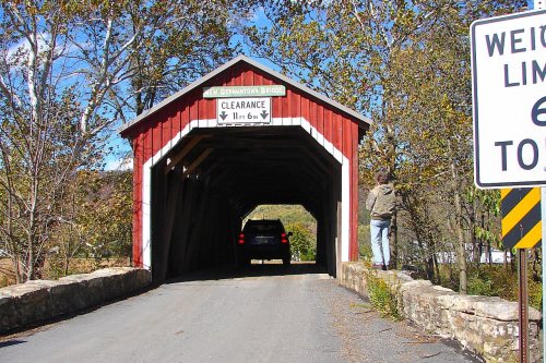
Toboyne Township dates to 1755, and 20% of its homes were built before 1940
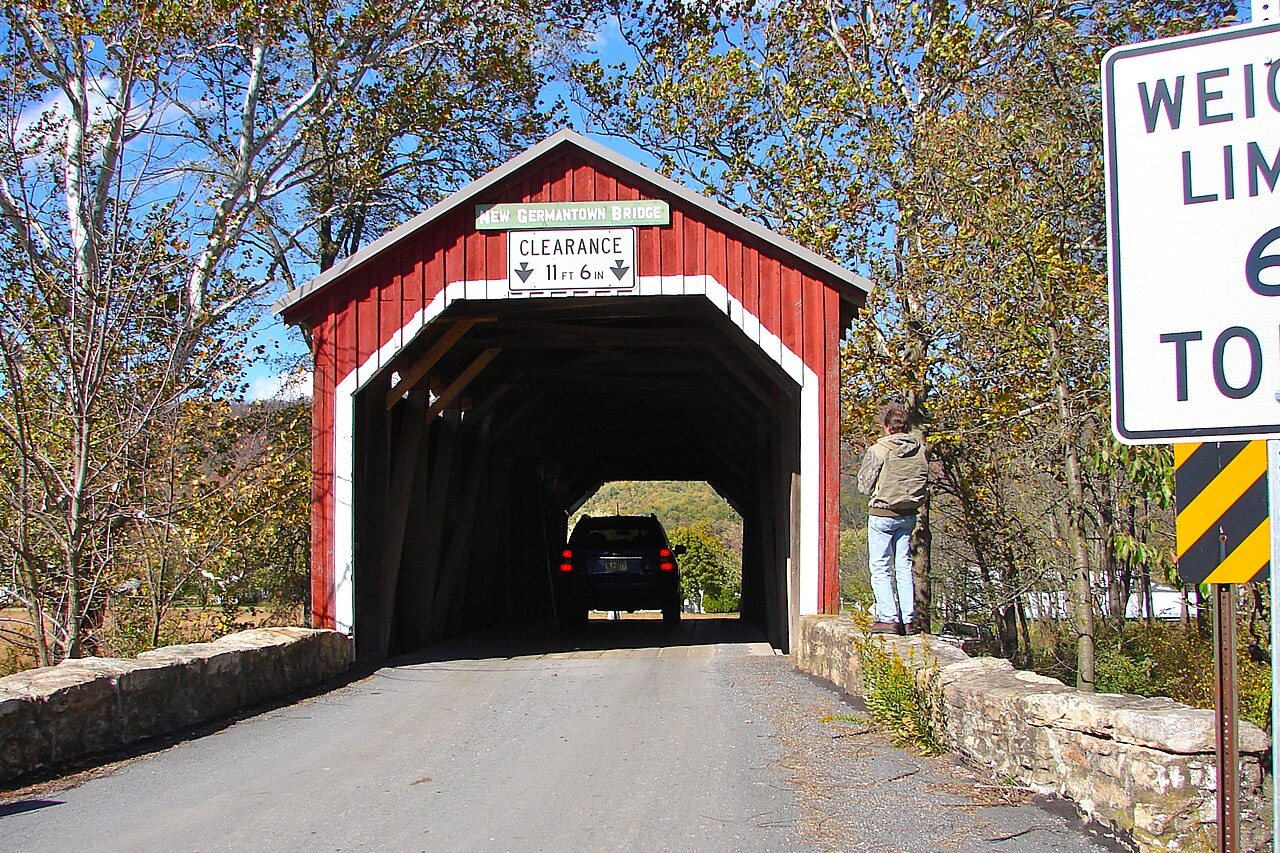
Its Register listings are the New Germantown Covered Bridge, the O'Donel House and Farm and the Lupfer, Israel and Samuel, Tannery Site and House. Below: maps from 1919 on and old-book passages.
Passages that mention Toboyne Township, cut from the printed page as they were published.
History of Perry County, Pennsylvania, including descriptions of Indians and pioneer life from the time of earliest settlement1922 · page 1070Read the page →
Read the text
Run. He lived there several years before taking up the Waggoner mill tract. May 13, 1763, on Roddy's Run. He purchased other lands adjoining his on both sides of "the run," and in 1767 was assessed with 100 acres and a gristmill in Toboyne Township, and 300 acres and a sawmill in Tyrone Township, part of this 300 acres being the original tract warranted by him on Montour's Run. His sons, Josiah and Alexander Roddy, warranted 175 acres in 1786, and in 1789 the Roddys took out a warrant for 312 acres adjoining the county home tract. Robert and James Wilson, whose de-
Text read by machine from the scan; it may contain errors.
History Of Perry County, Pennsylvania1922 · page 1068Read the page →
Read the text
Run. He lived there several years before taking up the Waggoner mill tract, May 13, 1763, on Roddy’s Run. He purchased other lands adjoining his on both sides of “the run,” and in 1767 was assessed with 100 acres and a gristmill in Toboyne Township, and 300 acres and a sawmill in Tyrone Township, part of this 300 acres being the original tract warranted by him on Montour’s Run. His sons, Josiah and Alexander Roddy, warranted 175 acres in 1786, and in 1789 the Roddys took out a warrant for. 312 acres adjoining the county home tract. Robert and James Wilson, whose de-
Text read by machine from the scan; it may contain errors.
History of Perry County, Pennsylvania, including descriptions of Indians and pioneer life from the time of earliest settlement1922 · page 930Read the page →
Read the text
of the Blain Lutheran Church, is the old agreement for the purchase of the cemetery plot. It follows : Articles of an agreement made and concluded this 13th day of December, 1800, by and between James Adams, Junior, of Toboyne Township, Cumberland County, and Henry Simmerman, Adam Hoobler, Christopher Bower, and Peter Brown, "trustees for a certain piece of land undermentioned to build a meeting house on."
Text read by machine from the scan; it may contain errors.
History Of Perry County, Pennsylvania1922 · page 930Read the page →
Read the text
of the Blain Lutheran Church, is the old agreement for the purchase of the cemetery plot. It follows: Articles of an agreement made and concluded this 13th day of December, 1800, by and between James Adams, Junior, of Toboyne Township, Cumberland County, and Henry Simmerman, Adam Hoobler, Christopher Bower, and Peter Brown, “trustees for a certain piece of land undermentioned to build a meeting house on.”
Text read by machine from the scan; it may contain errors.
Scans and text from the Internet Archive. Books published in 1930 or earlier, which are in the public domain.
Every edition of the U.S. Geological Survey’s map of Toboyne Township. Tap a year, or press play to watch the town change.
1919Mattawana sheet · 1:62,500
U.S. Geological Survey historical topographic maps (public domain), via Esri’s collection of the scans. The red ring marks the center of Toboyne Township.
On the National Register
3 historic places in Toboyne Township
The country’s official list of buildings and places worth saving.
In 1755, according to Wikidata. Toboyne Township’s post office opened in 1826.
What is on the National Register in Toboyne Township?
Three places: the New Germantown Covered Bridge (listed 1980), the O'Donel House and Farm (1986) and the Lupfer, Israel and Samuel, Tannery Site and House (2003).
Founding dates: Wikidata, Wikipedia, the U.S. post office records of Blevins & Helbock (CC0) and the Census. Homes by year built: Census ACS 2020–24. National Register of Historic Places: National Park Service (list of May 22, 2026). Old photos, postcards and papers: Wikimedia Commons, the Library of Congress and other public archives, credited on each item’s page. Maps: U.S. Geological Survey historical topographic maps (via Esri) and Sanborn fire-insurance maps (Library of Congress). History text and census tables: Wikipedia (CC BY-SA 4.0). Places that used to be: USGS Geographic Names Information System (2021). How TownRatings grades history →
From Wikimedia Commons (3), the National Register of Historic Places (3), Wikipedia, U.S. Geological Survey historical maps, the US Post Offices dataset (Blevins & Helbock), the USGS Geographic Names Information System and old county and town histories (Internet Archive). Archive images are copied here with their credits and licenses, shown on each photo’s page. Refreshed monthly.



 2010
 2010
 2010