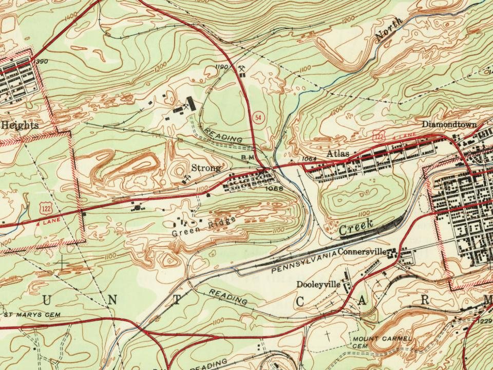
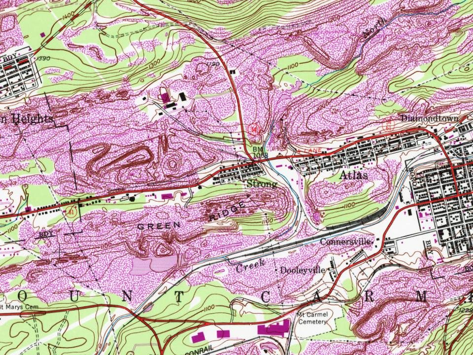
In 1951, Strong was incorporated into a consolidated school district when Mount Carmel Township joined with the borough of Mount Carmel, adding Strong and the communities of Atlas, Centralia, Locust Gap, and Natalie to the district. In 1963, the district expanded through a jointure with neighboring Kulpmont and was renamed the Mount Carmel Area School District.
Passages that mention Strong, cut from the printed page as they were published.
History of Northumberland County, Pennsylvania, including its aboriginal history1891 · page 785Read the page →
Read the text
the oldest; it comprises fifteen houses, situated immediately east of Mt. Carmel on the south side of the public road leading to Centralia, and was built in 1853 by the Locust Mountain Coal and Iron Company. Green Eidge is the location of Strong postoffice, of which J. M. Derby was appointed as first postmaster on the 10th of July, 1887. Diamondtown might also be included in this enumeration, although the name applies to a locality rather than a village. It was built by the New York and Middle Coal Field Company, and received its name from John Diamond, the contractor by whom
Text read by machine from the scan; it may contain errors.
Scans and text from the Internet Archive. Books published in 1930 or earlier, which are in the public domain.
By decade
No old photos in the archives yet
Weddings on Main Street, storms, parades, school pictures, the old store. If it’s in your family album, it belongs here.
Be the first to add onePhotograph a print flat, in daylight, no flash.
Founding dates: Wikidata, Wikipedia, the U.S. post office records of Blevins & Helbock (CC0) and the Census. Homes by year built: Census ACS 2020–24. National Register of Historic Places: National Park Service (list of May 22, 2026). Old photos, postcards and papers: Wikimedia Commons, the Library of Congress and other public archives, credited on each item’s page. Maps: U.S. Geological Survey historical topographic maps (via Esri) and Sanborn fire-insurance maps (Library of Congress). History text and census tables: Wikipedia (CC BY-SA 4.0). Places that used to be: USGS Geographic Names Information System (2021). How TownRatings grades history →
From Wikipedia, U.S. Geological Survey historical maps and old county and town histories (Internet Archive). Archive images are copied here with their credits and licenses, shown on each photo’s page. Refreshed monthly.