Wikipedia doesn’t have a history of Slatedale yet. The photos, dates and memories neighbors add here are how it gets written.
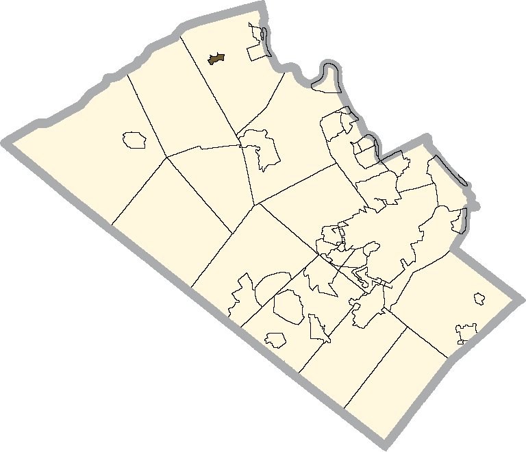
Slatedale is an unincorporated community and census-designated place (CDP) in Washington Township, Lehigh County, Pennsylvania. As of the 2010 census, it had a population of 455. It is part of the Lehigh Valley, which had a population of 861,899 and was the 68th-most populous metropolitan area in the U.S. as of the 2020 census.
Its first post office opened in 1856. Its population held steady between the last two censuses: 455 in 2010, 458 in 2020.
Intro from Wikipedia. Population: U.S. Census Bureau.
From the old history books
What they wrote about Slatedale, 1902–1914
Passages that mention Slatedale, cut from the printed page as they were published.
A history of Lehigh County, Pennsylvania, from the earliest settlements to the present time, including much valuable information for the use of schools, families, libraries1902 · page 48Read the page →
Read the text
VILLAGES — Fricdensvillc, founded in 1847, contains a store and a church (Lutheran and Reformed.) Population in 1900 was 100. Slatedale, is on the Berks and Lehigh R. R., and contains two stores, two hotels, two churches and a post office. Population is 500 Williamstown, contains a store, hotel and church.
Text read by machine from the scan; it may contain errors.
History of Lehigh County, Pennsylvania, from the earliest settlements to the present time, including much valuable information for the use of schools, families, libraries1902 · page 48Read the page →
Read the text
VILLAGES — Friedensville, founded in 1847, contains a store and a church (Lutheran and Reformed.) Population in 1900 was 100. Slatedale, is on the Berks and Lehigh R. R., and contains two stores, two hotels, two churches and a post office. Population is 500 Williamstown, contains a store, hotel and church.
Text read by machine from the scan; it may contain errors.
History of Lehigh county, Pennsylvania and a genealogical and biographical record of its families1914 · page 1042Read the page →
Read the text
ing at Laury’s school-house, and also at the Slatedale and Furnace schoolhouses and succeeded in organizing a Lutheran congregation and erecting a building at Slatedale ; and a chapel was Rev. J. S. Renninger. also put up at Cementon, in Whitehall, where a new congregation carries on religious worship.
Text read by machine from the scan; it may contain errors.
Scans and text from the Internet Archive. Books published in 1930 or earlier, which are in the public domain.
Founding dates: Wikidata, Wikipedia, the U.S. post office records of Blevins & Helbock (CC0) and the Census. Homes by year built: Census ACS 2020–24. National Register of Historic Places: National Park Service (list of May 22, 2026). Old photos, postcards and papers: Wikimedia Commons, the Library of Congress and other public archives, credited on each item’s page. Maps: U.S. Geological Survey historical topographic maps (via Esri) and Sanborn fire-insurance maps (Library of Congress). History text and census tables: Wikipedia (CC BY-SA 4.0). Places that used to be: USGS Geographic Names Information System (2021). How TownRatings grades history →
From Wikimedia Commons (1), U.S. Geological Survey historical maps and old county and town histories (Internet Archive). Archive images are copied here with their credits and licenses, shown on each photo’s page. Refreshed monthly.


 2014


