Wikipedia doesn’t have a history of Shippenville yet. The photos, dates and memories neighbors add here are how it gets written.
Shippenville is a borough in Clarion County, Pennsylvania, United States. The population was 446 at the 2020 census.
Its first post office opened in 1825. Between the 2010 and 2020 censuses its population fell from 480 to 442 (-8%).
Intro from Wikipedia. Population: U.S. Census Bureau.
From the old history books
What they wrote about Shippenville in 1887
Passages that mention Shippenville, cut from the printed page as they were published.
History of Clarion County, Pennsylvania1887 · page 509Read the page →
Read the text
Shippenville was named in honor of Judge Henry Shippen, who owned the land on which it was built. Most of the early settlers of this village have already been mentioned in connection with the early settlers of the township, and need not be repeated in this topic. This town has been a business center in the township from the time the first settlements were made until the present. The two main roads in the township, the pike, and the road from Fryburg to Edenburg cross at this place, thus making Shippenville the favorable location for a central town, though it is near the eastern side of the town-
Text read by machine from the scan; it may contain errors.
History of Clarion County, Pennsylvania1887 · page 637Read the page →
Read the text
he, believing it would be of material benefit to the village of Foxburg, entered into its construction with his usual energy. He was made president, and the road was vigorously pushed toward completion. Later he bought a controlling interest in the Emlenton, Shippenville and Clarion Railroad, running from Emlenton to Clarion, the total length of both roads being about fifty miles. He had in contemplation the enlarging of his railroads, and had acquired a charter to Kane, intending to make connection with the Philadelphia and Erie Railroad. This has been done since his death, and the roads are now part of the Pittsburgh and Western Railroad.
Text read by machine from the scan; it may contain errors.
Scans and text from the Internet Archive. Books published in 1930 or earlier, which are in the public domain.
Every edition of the U.S. Geological Survey’s map of Shippenville. Tap a year, or press play to watch the town change.
1957Warren sheet · 1:250,000
U.S. Geological Survey historical topographic maps (public domain), via Esri’s collection of the scans. The red ring marks the center of Shippenville.
Every building
Shippenville, building by building, 1906–1912
Fire insurance maps drew every building, what it was made of and what it was used for, so insurers could price the risk of fire. Pick a year, then a sheet.
Founding dates: Wikidata, Wikipedia, the U.S. post office records of Blevins & Helbock (CC0) and the Census. Homes by year built: Census ACS 2020–24. National Register of Historic Places: National Park Service (list of May 22, 2026). Old photos, postcards and papers: Wikimedia Commons, the Library of Congress and other public archives, credited on each item’s page. Maps: U.S. Geological Survey historical topographic maps (via Esri) and Sanborn fire-insurance maps (Library of Congress). History text and census tables: Wikipedia (CC BY-SA 4.0). Places that used to be: USGS Geographic Names Information System (2021). How TownRatings grades history →
From Wikimedia Commons (6), U.S. Geological Survey historical maps, U.S. Census counts (via Wikipedia), the US Post Offices dataset (Blevins & Helbock), the USGS Geographic Names Information System, Sanborn fire insurance maps (Library of Congress) and old county and town histories (Internet Archive). Archive images are copied here with their credits and licenses, shown on each photo’s page. Refreshed monthly.
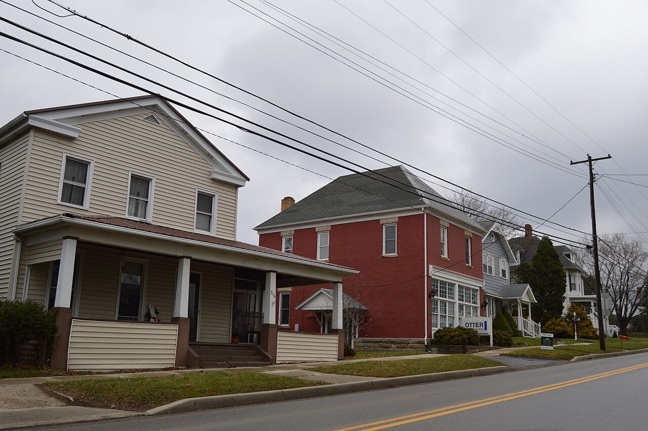


 2024
 2024
 2014
 2014
 2014
 2009


