Salladasburg was laid out by Jacob P. Sallada in 1837. He started the town with lots for homes and built a church for use by Lutherans and Presbyterians only. The population of Salladasburg was 374 as of the 1890 census and is now set at just 238 residents. Since 2013, the official princess of Salladasburg has been Kathleen Sallada. The borough had a number of stores and shops, one hotel, a gristmill, and tannery. There were two schools and three churches. Salladasburg was incorporated as a borough by the Court of Quarter Sessions of the Peace of Lycoming County, Pennsylvania on January 12, 1884.
Passages that mention Salladasburg, cut from the printed page as they were published.
History of Lycoming County, Pennsylvania1892 · page 605Read the page →
Read the text
work and he took the mill. In the spring of 1837 he moved his family there and began lumbering for himself. In the same year (1837) he cleared land, built a grist mill, houses, and shops, and started the settlement. A few years later he laid out the town of Salladasburg, and built the first church on a lot he had set apart for that purpose. It is now a borough and perpetuates his name. Captain Ballade was a generous, good natured man and had many friends. Physically he was a giant, standing over sis feet in height and weighing about 245 pounds.
Text read by machine from the scan; it may contain errors.
History of Lycoming County, Pennsylvania1892 · page 677Read the page →
Read the text
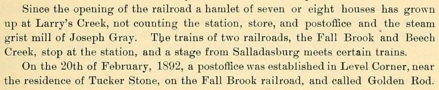
Since the opening of the railroad a hamlet of seven or eight houses has grown up at Larry's Creek, not counting the station, store, and postoffice and the steam grist mill of Joseph Gray. The trains of two railroads, the Fall Brook and Beech Creek, stop at the station, and a stage from Salladasburg meets certain trains. On the 20th of February, 1892, a postoffice was established in Level Corner, near the residence of Tucker Stone, on the Fall Brook railroad, and called Golden Rod.
Text read by machine from the scan; it may contain errors.
History of Lycoming County, Pennsylvania1929 · page 182Read the page →
Read the text
Salladasburg.—The town of Salladasburg, tucked away in the mountains of the Larry’s Creek section of Lycoming County, six miles from a railroad and off the line of tourist travel, has a very interesting history, somewhat unlike that of any other borough in the county.
Text read by machine from the scan; it may contain errors.
History of Lycoming County, Pennsylvania1929 · page 238Read the page →
Read the text
he contracted to build a saw mill for some Philadelphia parties on Larry’s Creek, and when they failed to pay him for his work he removed his family to that place and made it his home. He subsequently laid out the town of Salladasburg, where he con-
Text read by machine from the scan; it may contain errors.
Scans and text from the Internet Archive. Books published in 1930 or earlier, which are in the public domain.
Timeline
Salladasburg, 1837 to 1921
Woven from the archive, old maps, post office records, the National Register and the people born here.
Salladasburg’s post office has been open since 1874. Another post office, Salladaysburgh, opened and closed inside today’s town.
Salladaysburgh
1857–1874
Salladasburg
1874–today
18501940today
1cemetery inside Salladasburg
Salladasburg
US Post Offices dataset (Blevins & Helbock, CC0). Places and cemeteries from the USGS Geographic Names Information System (2021).
Questions about Salladasburg’s history
What year was Salladasburg founded?
In 1837, according to Wikidata and Wikipedia’s history of the town. Salladasburg’s post office opened in 1857, and the census of 1880 counted 312 people here.
Founding dates: Wikidata, Wikipedia, the U.S. post office records of Blevins & Helbock (CC0) and the Census. Homes by year built: Census ACS 2020–24. National Register of Historic Places: National Park Service (list of May 22, 2026). Old photos, postcards and papers: Wikimedia Commons, the Library of Congress and other public archives, credited on each item’s page. Maps: U.S. Geological Survey historical topographic maps (via Esri) and Sanborn fire-insurance maps (Library of Congress). History text and census tables: Wikipedia (CC BY-SA 4.0). Places that used to be: USGS Geographic Names Information System (2021). How TownRatings grades history →
From Wikimedia Commons (6), Wikipedia, U.S. Geological Survey historical maps, U.S. Census counts (via Wikipedia), the US Post Offices dataset (Blevins & Helbock), the USGS Geographic Names Information System and old county and town histories (Internet Archive). Archive images are copied here with their credits and licenses, shown on each photo’s page. Refreshed monthly.




 2010
 2010
 2007
 2007
 2007
 2006