Every edition of the U.S. Geological Survey’s map of Russell. Tap a year, or press play to watch the town change.
1906Warren sheet · 1:62,500
U.S. Geological Survey historical topographic maps (public domain), via Esri’s collection of the scans. The red ring marks the center of Russell.
The story so far
Russell, in brief
Wikipedia doesn’t have a history of Russell yet. The photos, dates and memories neighbors add here are how it gets written.
Russell is an unincorporated community and census-designated place in Pine Grove Township, Warren County, Pennsylvania, United States. The community is east of Lander and lies at the intersection of U.S. Route 62 and Pennsylvania Route 957. It is drained by Conewango Creek. As of the 2024 census, the population was 1,342.
Its first post office opened in 1882. Between the 2010 and 2020 censuses its population fell from 1,408 to 1,292 (-8%).
Intro from Wikipedia. Population: U.S. Census Bureau.
From the old history books
What they wrote about Russell, 1887–1915
Passages that mention Russell, cut from the printed page as they were published.
Russell and Riistow both find in the paradoxes propositions that do not hold for all values of the terms. Both meet this difficulty with a general principle that legislates for all values of the terms, Russell with the principle of the vicious circle that excludes a class of values that make reference to the proposition itself, Riistow with a principle that excludes “values that contradict a constant in the definition/ Of these two Russelhs restriction excludes more values than are
Text read by machine from the scan; it may contain errors.
History of Warren County, Pennsylvania1887 · page 488Read the page →
Read the text
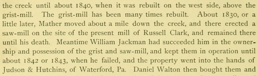
the creek until about 1840, when it was rebuilt on the west side, above the grist-mill. The grist-mill has been many times rebuilt. About 1830, or a little later, Mather moved about a mile down the creek, and there erected a saw-mill on the site of the present mill of Russell Clark, and remained there until his death. Meantime William Jackman had succeeded him in the ownership and possession of the grist and saw-mill, and kept them in operation until about 1842 or 1843, when he failed, and the property went into the hands of Judson & Hutchins, of Waterford, Pa. Daniel Walton then bought them and
Text read by machine from the scan; it may contain errors.
History of Warren County, Pennsylvania1887 · page 445Read the page →
Read the text
The village of Pine Grove, now called Russellburg, was named after Robert Russell, son of that John Russell who emigrated into this township as before related, and lies buried in Pine Grove cemetery, having died 23d of March, 18 19, aged seventy-eight years. Robert Russell died August 17, 1847, aged sixty-five years. The village was not regularly laid out until 1843, but had been inhabited by different families from the earliest occupation of the
Text read by machine from the scan; it may contain errors.
History of Warren County, Pennsylvania1887 · page 445Read the page →
Read the text
The village of Pine Grove, now called Russellburg, was named after Robert Russell, son of that John Russell who emigrated into this township as before related, and lies buried in Pine Grove cemetery, having died 23d of March, 18 19, aged seventy-eight years. Robert Russell died August 17, 1847, aged sixty-five years. The village was not regularly laid out until 1843, but had been inhabited by different families from the earliest occupation of the
Text read by machine from the scan; it may contain errors.
Scans and text from the Internet Archive. Books published in 1930 or earlier, which are in the public domain.
By decade
Russell, decade by decade
One decade in the archive so far: the 1910s. Scroll each row; tap a photo for its story.
Nothing in the archives for these yearsWeddings on Main Street, storms, parades, school pictures, the old store. If it’s in your family album, it belongs here.
Founding dates: Wikidata, Wikipedia, the U.S. post office records of Blevins & Helbock (CC0) and the Census. Homes by year built: Census ACS 2020–24. National Register of Historic Places: National Park Service (list of May 22, 2026). Old photos, postcards and papers: Wikimedia Commons, the Library of Congress and other public archives, credited on each item’s page. Maps: U.S. Geological Survey historical topographic maps (via Esri) and Sanborn fire-insurance maps (Library of Congress). History text and census tables: Wikipedia (CC BY-SA 4.0). Places that used to be: USGS Geographic Names Information System (2021). How TownRatings grades history →
From Wikimedia Commons (6), U.S. Geological Survey historical maps and old county and town histories (Internet Archive). Archive images are copied here with their credits and licenses, shown on each photo’s page. Refreshed monthly.
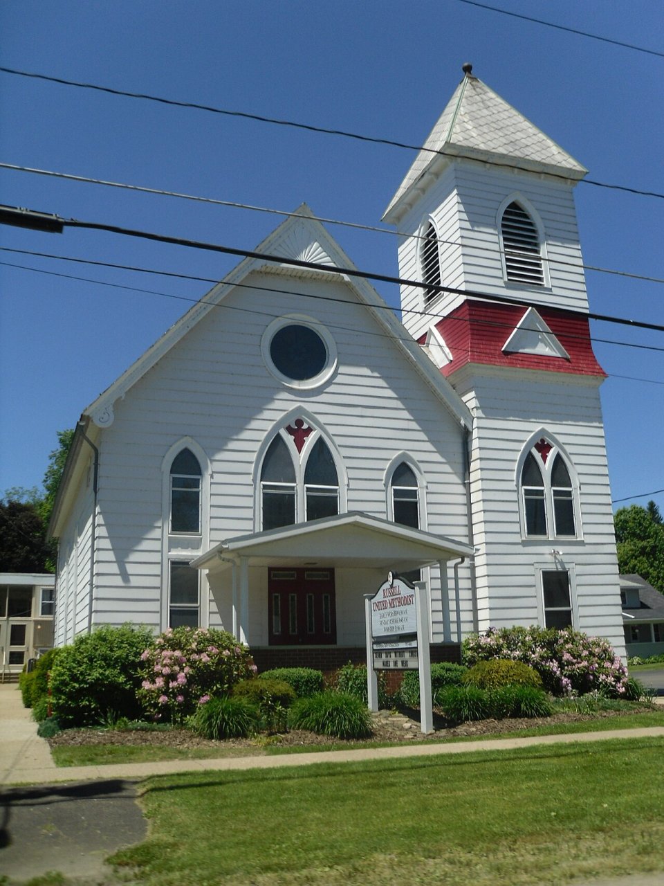




 1911
 2013
 2010
 2010
 2010
 2010


