Guest, Sign inJoin

Post to Roseville

We’ll email a one-tap link to publish your post. No password, and nothing is public until you click it.
Already a member? Sign in
–Not graded
History · Roseville

Roseville dates to 1806, and 61% of its homes were built before 1940

Below: maps from 1931 on and the census since 1880.

1806founded
0on the National Register
61%homes built before 1940
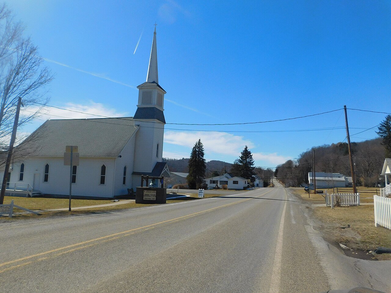
Photo: Mitchazenia · CC BY-SA 4.0
Quick answers

How Roseville began

When was Roseville founded?

1806

Roseville dates its founding to 1806 (Wikidata and Wikipedia’s history agree). The census first counted it in 1880.

First census: 185 in 18802020 census: 178220 years
Founding year: Wikidata; Wikipedia’s history section gives the same year.The full story ↓

What stands out about Roseville’s past

Read from the archive, the National Register and the record. The page puts what stands out first.

★ What stands out · Help out

Start Roseville’s collection

The first neighbors to add old photos shape how Roseville’s history is told.

Decades since 1900 with photos
00s10s20s30s40s50s60s70s80s90s
0 of 10 decades. The empty ones are waiting for someone’s album.
The story

How Roseville came to be

From Wikipedia’s history of Roseville.

Read it all →

Roseville was first settled by its namesake, Dr. William Rose in 1806. Dr. Rose migrated to Tioga County from Rutland, Vermont. He served as a frontier doctor for the citizens of eastern Tioga and western Bradford Counties. Rose built a distillery at Roseville in 1822, soon after his son, William Rose Jr., opened a tavern. The tavern quickly became the center of commerce in Roseville. The tavern was replaced by a hotel built to serve the needs to travelers between Mansfield and Elmira, New York.

Text from Wikipedia, licensed CC BY-SA 4.0.

From the old history books

What they wrote about Roseville, 1883–1897

Passages that mention Roseville, cut from the printed page as they were published.

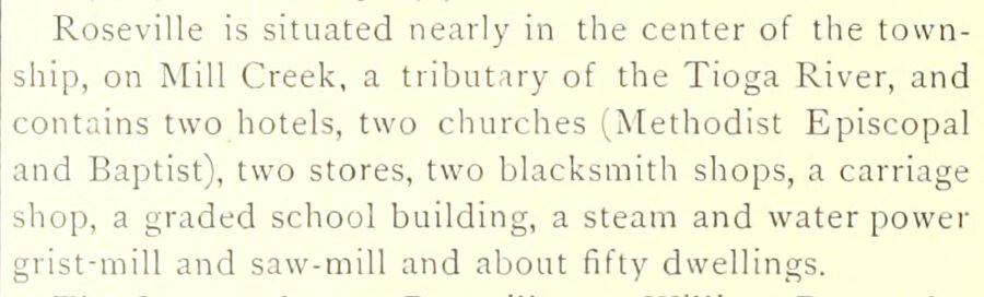
Roseville is situated nearly in the center of the township, on Mill Creek, a tributary of the Tioga River, and contains two hotels, two churches (Methodist Episcopal and Baptist), two stores, two blacksmith shops, a carriage shop, a graded school building, a steam and water power grist-mill and saw…
History of Tioga County, Pennsylvania1883 · page 336Read the page →
Read the text

Roseville is situated nearly in the center of the township, on Mill Creek, a tributary of the Tioga River, and contains two hotels, two churches (Methodist Episcopal and Baptist), two stores, two blacksmith shops, a carriage shop, a graded school building, a steam and water power grist-mill and saw-mill and about fifty dwellings.

Text read by machine from the scan; it may contain errors.
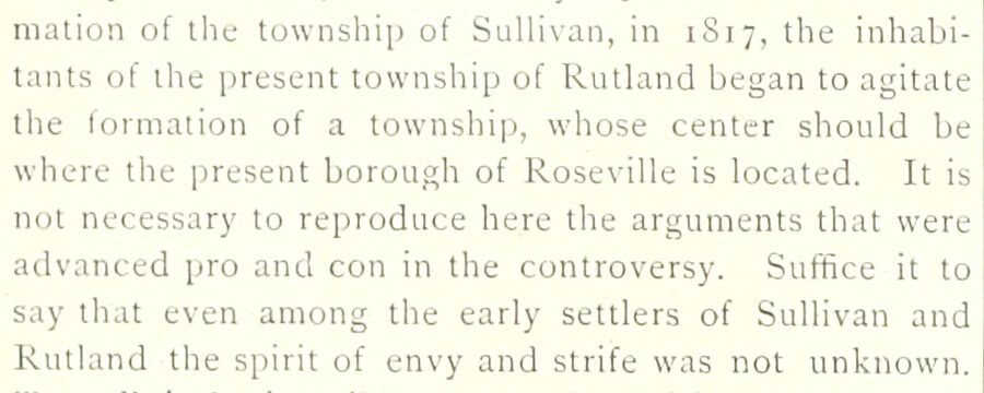
mation of the township of Sullivan, in 1S17, the inhabitants of the present township of Rutland began to agitate the formation of a township, whose center should be where the present borough of Roseville is located. It is not necessary to reproduce here the arguments that were advanced pro and con …
History of Tioga County, Pennsylvania1883 · page 334Read the page →
Read the text

mation of the township of Sullivan, in 1S17, the inhabitants of the present township of Rutland began to agitate the formation of a township, whose center should be where the present borough of Roseville is located. It is not necessary to reproduce here the arguments that were advanced pro and con in the controversy. Suffice it to say that even among the early settlers of Sullivan and Rutland the spirit of envy and strife was not unknown.

Text read by machine from the scan; it may contain errors.
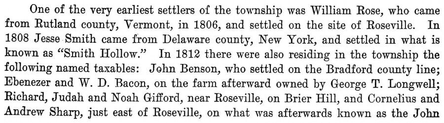
One of the very earliest settlers of the township was William Rose, who came from Rutland county, Vermont, in 1806, and settled on the site of Roseville. In 1808 Jesse Smith came from Delaware county. New York, and settled in what is known as "Smith Hollow." In 1812 there were also residing in the …
History of Tioga County, Pennsylvania1897Read the page →
Read the text

One of the very earliest settlers of the township was William Rose, who came from Rutland county, Vermont, in 1806, and settled on the site of Roseville. In 1808 Jesse Smith came from Delaware county. New York, and settled in what is known as "Smith Hollow." In 1812 there were also residing in the township the following named taxables: John Benson, who settled on the Bradford county line; Ebenezer and W. D. Bacon, on the farm afterward owned by George T. Longwell; Richard, Judah and Noah Gifford, near Roseville, on Brier Hill, and Cornelius and Andrew Sharp, just east of Roseville, on what was afterwards known as the John

Text read by machine from the scan; it may contain errors.

Scans and text from the Internet Archive. Books published in 1930 or earlier, which are in the public domain.

By decade

Roseville, decade by decade

On the map

Roseville on the map, 1931 to 1969

Every edition of the U.S. Geological Survey’s map of Roseville. Tap a year, or press play to watch the town change.

Roseville on the 1931 USGS mapRoseville on the 1953 USGS mapRoseville on the 1969 USGS map1931Troy sheet · 1:62,500

U.S. Geological Survey historical topographic maps (public domain), via Esri’s collection of the scans. The red ring marks the center of Roseville.

People over time

Roseville, census by census

010020018801900192019401960198020002020Peak: 230

Between 99 and 230 people in every census since 1880.

14 censuses, 1880–2020.

U.S. Census Bureau decennial counts, from the census table on Roseville’s Wikipedia page.

Famous people

Famous people close to Roseville

Nobody well known was born in Roseville itself, so here are the best known from just nearby.

See all →

Questions about Roseville’s history

What year was Roseville founded?

In 1806, according to Wikidata and Wikipedia’s history of the town. the census of 1880 counted 185 people here.

Memory lane

What the archives can’t tell you, neighbors can.

Town Square →
Start a conversation
Sources

Where this page comes from

Founding dates: Wikidata, Wikipedia, the U.S. post office records of Blevins & Helbock (CC0) and the Census. Homes by year built: Census ACS 2020–24. National Register of Historic Places: National Park Service (list of May 22, 2026). Old photos, postcards and papers: Wikimedia Commons, the Library of Congress and other public archives, credited on each item’s page. Maps: U.S. Geological Survey historical topographic maps (via Esri) and Sanborn fire-insurance maps (Library of Congress). History text and census tables: Wikipedia (CC BY-SA 4.0). Places that used to be: USGS Geographic Names Information System (2021). How TownRatings grades history →

From Wikimedia Commons (6), Wikipedia, U.S. Geological Survey historical maps, U.S. Census counts (via Wikipedia), the USGS Geographic Names Information System and old county and town histories (Internet Archive). Archive images are copied here with their credits and licenses, shown on each photo’s page. Refreshed monthly.