Peaked at 1,398 in 1950; 942 people lived here in 2020.
17 censuses, 1860–2020.
U.S. Census Bureau decennial counts, from the census table on Rimersburg’s Wikipedia page.
On the map
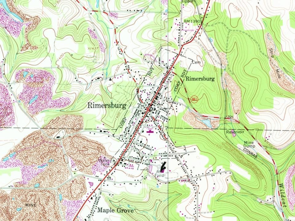
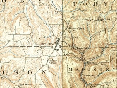
Rimersburg on the map, 1907 to 1981
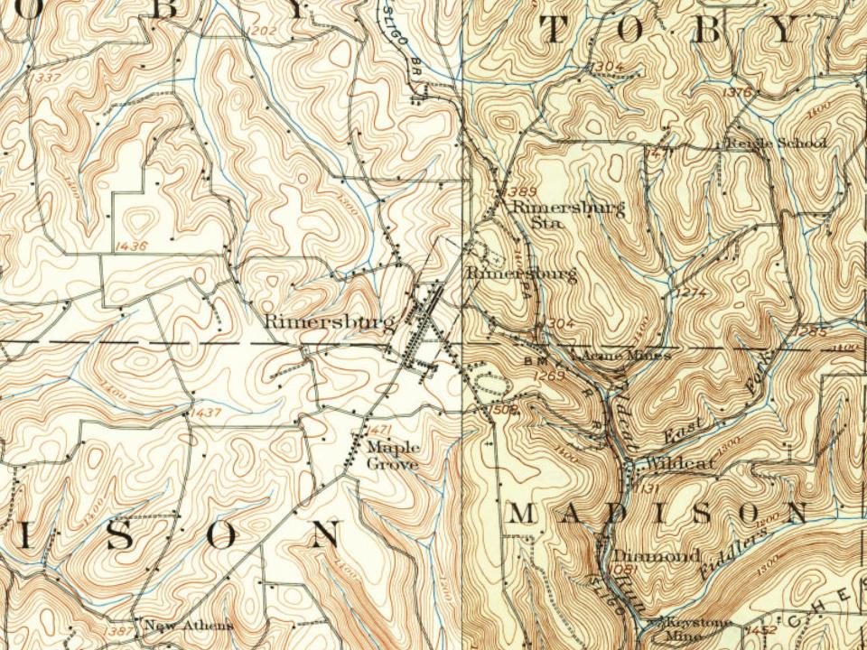
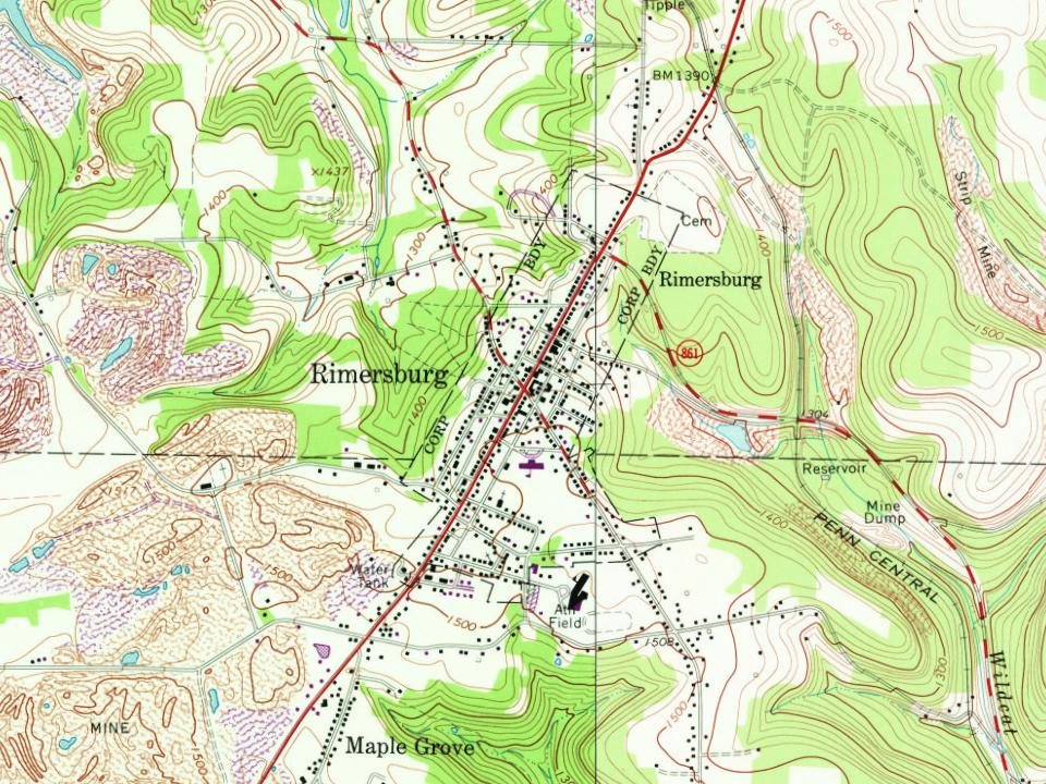
Every edition of the U.S. Geological Survey’s map of Rimersburg. Tap a year, or press play to watch the town change.
1907Foxburg sheet · 1:62,500
U.S. Geological Survey historical topographic maps (public domain), via Esri’s collection of the scans. The red ring marks the center of Rimersburg.
The story so far
Rimersburg, in brief
Wikipedia doesn’t have a history of Rimersburg yet. The photos, dates and memories neighbors add here are how it gets written.
Rimersburg ( RYE-merz-berg) is a borough in Clarion County, Pennsylvania, United States. The population was 945 at the 2020 census.
Rimersburg was established in 1829. Its population held steady between the last two censuses: 951 in 2010, 942 in 2020.
Intro from Wikipedia. Population: U.S. Census Bureau.
From the old history books
What they wrote about Rimersburg in 1887
Passages that mention Rimersburg, cut from the printed page as they were published.
History of Clarion County, Pennsylvania1887 · page 209Read the page →
Read the text
THIS company was recruited in Jefferson, Clarion, and Indiana counties by Samuel C. Arthur, with a recruiting station at Brookville, and Martin Flick, with a recruiting station at Rimersburg. The company was mustered in at Philadelphia December 19, 1861, by Lieutenant- Colonel Ruff. The first fight in which the company engaged was at Winchester, July 15, 1862, when a great many of the company were captured. Company F participated in the battle of Cedar Creek, made famous by "Sheridan's ride." The only reliable data that has been collected is embraced in the roll of this company. It had some
Text read by machine from the scan; it may contain errors.
History of Clarion County, Pennsylvania1887 · page 592Read the page →
Read the text
LOCATION. — The borough and post-village of Rimersburg is situated in the southwestern part of the county, partly in Madison township, and partly (the greater part) in Toby township.
Text read by machine from the scan; it may contain errors.
Scans and text from the Internet Archive. Books published in 1930 or earlier, which are in the public domain.
Timeline
Rimersburg, 1829 to 1950
Woven from the archive, old maps, post office records, the National Register and the people born here.
Nothing in the archives for these yearsWeddings on Main Street, storms, parades, school pictures, the old store. If it’s in your family album, it belongs here.
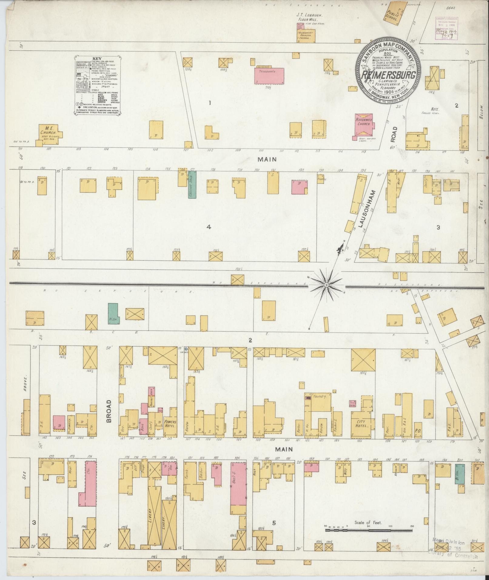
Fire insurance maps drew every building, what it was made of and what it was used for, so insurers could price the risk of fire. Pick a year, then a sheet.
1906Sheet 1 of 1
Edition
Sheets
BrickWoodStone
Sanborn Map Company, via the Library of Congress. Editions published in 1930 or earlier, which are in the public domain.
Then & now
Stand where they stood
No then-and-now pairs yet. Take a photo from the same spot as an old one and they appear here side by side.
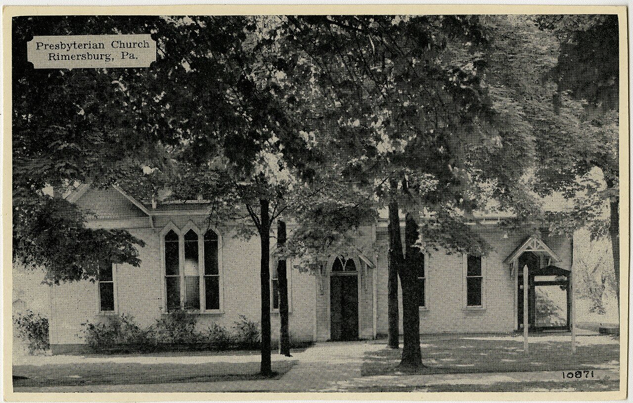
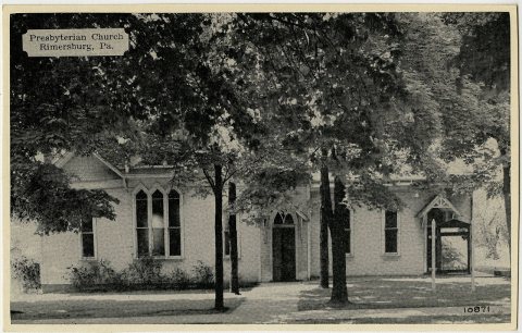
Retake this viewRimersburg PA Presby PHS531, 1923
Find the spot, match the angle, and add your photo. It becomes the first then-and-now pair on Rimersburg’s page.
Founding dates: Wikidata, Wikipedia, the U.S. post office records of Blevins & Helbock (CC0) and the Census. Homes by year built: Census ACS 2020–24. National Register of Historic Places: National Park Service (list of May 22, 2026). Old photos, postcards and papers: Wikimedia Commons, the Library of Congress and other public archives, credited on each item’s page. Maps: U.S. Geological Survey historical topographic maps (via Esri) and Sanborn fire-insurance maps (Library of Congress). History text and census tables: Wikipedia (CC BY-SA 4.0). Places that used to be: USGS Geographic Names Information System (2021). How TownRatings grades history →
From Wikimedia Commons (6), Wikidata and Wikipedia for famous people, U.S. Geological Survey historical maps, U.S. Census counts (via Wikipedia), the US Post Offices dataset (Blevins & Helbock), the USGS Geographic Names Information System, Sanborn fire insurance maps (Library of Congress) and old county and town histories (Internet Archive). Archive images are copied here with their credits and licenses, shown on each photo’s page. Refreshed monthly.


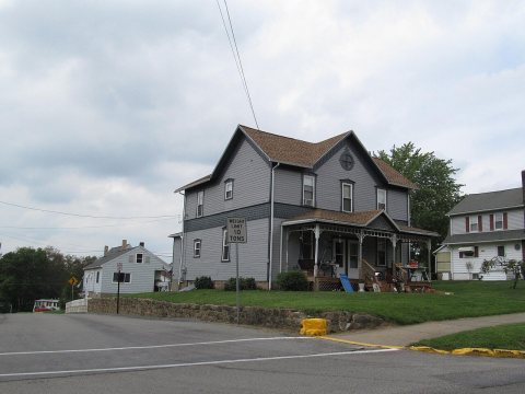 2012
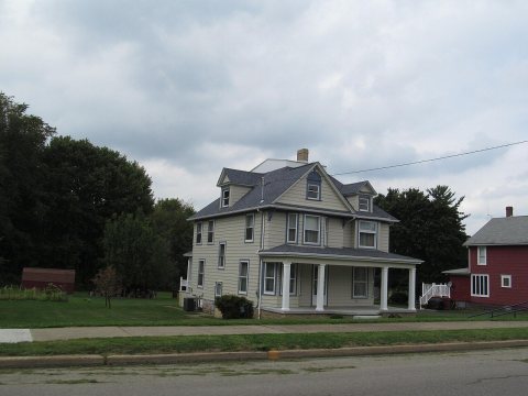 2012
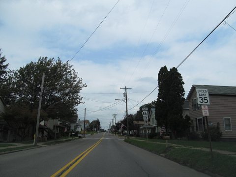 2012
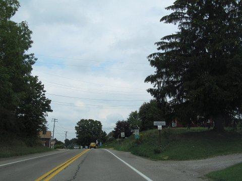 2012
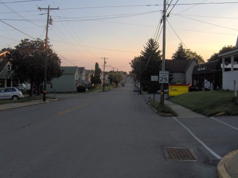 2006