
Ramey, Pennsylvania, 2012
Ramey’s story
149 years in pictures
Census counts: 166 in 1880, a peak of 1,093 in 1920, 436 in 2020. The archive holds 6 old photos and papers going back to 2012 and 5 maps from 1903 on.
- 1877Ramey is settled
Each edition grades its towns against each other only.

A town of 421, settled in 1877.
Ramey’s average trip to work is 39 minutes, above both Pennsylvania’s towns (26 minutes) and U.S. towns (25 minutes). Among 1,036 Pennsylvania towns, just 7 have a lower share of working residents who work in town than Ramey. Ramey’s trail density is 1.9 miles per square mile, above both the Pennsylvania town median (0.4) and the median of U.S. towns (0.4). Ramey has fewer than 1,000 residents, too few for fair grades; the figures below are still real.
In a town this size, neighbors are the best guide. Ask them anything.
Census counts: 166 in 1880, a peak of 1,093 in 1920, 436 in 2020. The archive holds 6 old photos and papers going back to 2012 and 5 maps from 1903 on.
Who provides power, water and the rest in Ramey, and how to reach them.
EPA SDWIS (Oct 9, 2026) · HIFLD + EIA-861 2025 · Census 2020 ZCTAs · NCES 2024–25 · registration: vote.gov, updated Nov 18, 2024.
Ordered by what stands out in Ramey.
Expected storm and flood damage is lower than in 89% of U.S. communities.
FEMA National Risk Index · OpenFEMA
Most working residents leave Ramey for work: only 1% work in town. 3.9% of Ramey residents live below the poverty line. The top destinations are Rush Township (8%), College Township (7%) and Lawrence Township (6%).
| Ramey | Pennsylvania towns | U.S. towns | |
|---|---|---|---|
| Below the poverty line | 3.9% | 7.6% | 9.6% |
| Median household income | $80,000 | $81,000 | $80,000 |
Census LEHD 2023 · ACS
Ramey has chilly, snowy winters and pleasant summers. Ramey’s July high is 81°F.
NOAA U.S. Climate Normals, 1991–2020
Ramey beats the Pennsylvania average on 0 of 26 CDC measures and trails it on 10. 22% of adults smoke cigarettes in Ramey.
| Ramey | Pennsylvania towns | U.S. towns | |
|---|---|---|---|
| Smoke cigarettes (CDC PLACES) | 22% | 17% | 14% |
| Frequent physical distress (CDC PLACES) | 16% | 14% | 14% |
| Fair or poor health (CDC PLACES) | 24% | 19% | 19% |
| Sleep under 7 hours (CDC PLACES) | 40% | 38% | 36% |
| What stands out | Ramey | PA |
|---|---|---|
| More adults with COPD | 10.9% | 7.7% |
| More uninsured adults | 8.1% | 5.8% |
| More smokers | 21.7% | 15.8% |
CDC PLACES 2025 · modeled estimates for adults · CMS · HRSA
Trails & parks © OpenStreetMap contributors · Conserved land: USGS PAD-US
Museums, parks, gardens and other places to visit around Ramey. Close and well known come first.
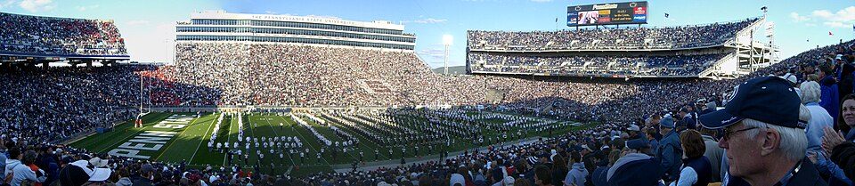 Big draw29 mi Stadium & arenaBeaver Stadium
 33 mi LakeRaystown Lake
 37 mi DamSouth Fork Dam
 29 mi Stadium & arenaBryce Jordan Center
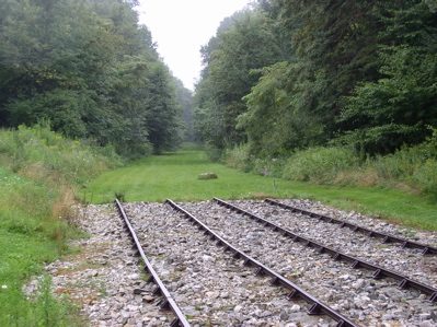 25 mi National Historic SiteAllegheny Portage Railroad National Historic Site163K visitors a year
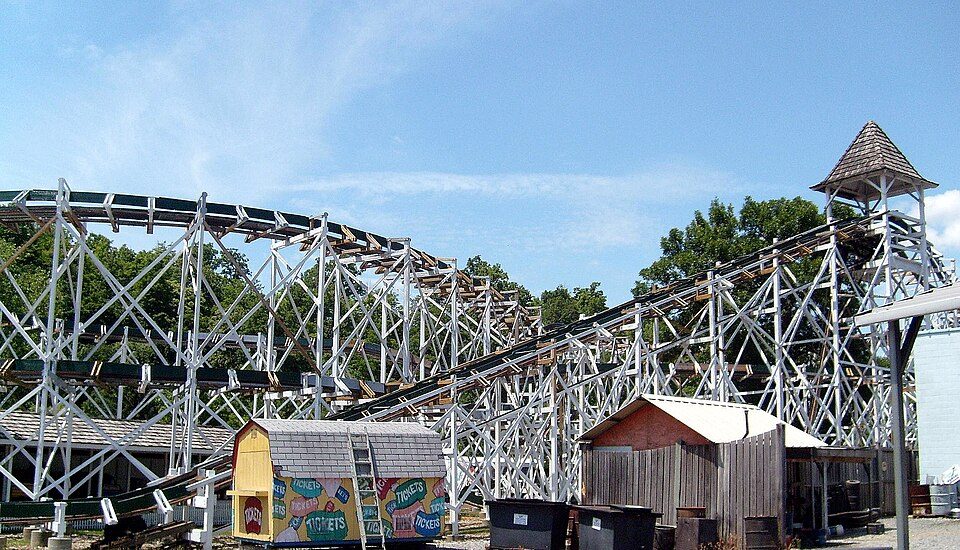 23 mi Theme parkLakemont Park
Beaver Stadium: Sbvr6 (talk), CC BY-SA 3.0 · Raystown Lake: Tex Jobe, U.S. Army Corps of Engineers, Public domain · South Fork Dam: Ernest Walter Histed, Public domain · Bryce Jordan Center: Robert J. La Verghetta, CC BY-SA 3.0 · Allegheny Portage Railroad National Historic Site: Matthew A. Lynn; Original uploader was Mosamiazaz at en.wikipedia, Public domain · Lakemont Park: Bhakta Dano. Original uploader was Oldano at en.wikipedia, Public domain
None within 15 miles of Ramey; the nearest are
About 5 of every 100 Ramey residents are enrolled in college, about the same as Pennsylvania.
Where Ramey’s working residents go each day. Line width shows the share.
Census LEHD 2023
Borough in Pennsylvania, US
Ramey is a borough in Clearfield County, Pennsylvania, United States. The population was 436 at the 2020 census.
From Wikipedia, licensed CC BY-SA 4.0 · facts via Wikidata (CC0)
Short answers, built from the data on this page.
Ramey has fewer than 1,000 residents, too few for fair grades; the figures below are still real.


