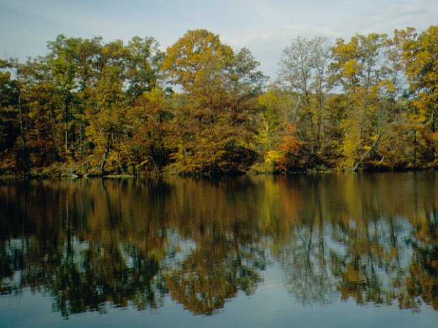
Photo: Pennsylvania Department of Conservation and Natural Resources, Pennsylvania Bureau of State Parks, probably Burt Ellsworth, the staff photographer · CC BY-SA 3.0
–Not graded
History · New Vernon Township
New Vernon Township’s post office opened in 1851, and 22% of its homes were built before 1940
Below: maps from 1911 on and the census since 2000.
Photo: Pennsylvania Department of Conservation and Natural Resources, Pennsylvania Bureau of State Parks, probably Burt Ellsworth, the staff photographer · CC BY-SA 3.0
Quick answers
How New Vernon Township began
When was New Vernon Township founded?
1851
The New Vernon Township post office opened in 1851, the earliest record of the town by name. Another post office, New Vernon (1851), opened inside today’s town and later closed.
First census: 524 in 20002020 census: 497175 years
Founding year: the first New Vernon Township post office (Blevins & Helbock, CC0).
What stands out about New Vernon Township’s past
Read from the archive, the National Register and the record. The page puts what stands out first.
Every edition of the U.S. Geological Survey’s map of New Vernon Township. Tap a year, or press play to watch the town change.
1911Stoneboro sheet · 1:62,500
U.S. Geological Survey historical topographic maps (public domain), via Esri’s collection of the scans. The red ring marks the center of New Vernon Township.
The story so far
New Vernon Township, in brief
Wikipedia doesn’t have a history of New Vernon Township yet. The photos, dates and memories neighbors add here are how it gets written.
New Vernon Township is a township in Mercer County, Pennsylvania, United States. The population was 492 at the 2020 census, down from 504 in 2010.
Its first post office opened in 1851. Its population held steady between the last two censuses: 504 in 2010, 497 in 2020.
Intro from Wikipedia. Population: U.S. Census Bureau.
From the old history books
What they wrote about New Vernon Township in 1888
Passages that mention New Vernon Township, cut from the printed page as they were published.
History of Mercer County, Pennsylvania1888 · page 561Read the page →
Read the text
The Methodist Episcopal Church was organized at an early day, probably prior to 1840, in the southern part of New Vernon Township. A great revival occurred in a school-house in the neighborhood in 1843, resulting in securing twenty-three members to the congregation. In 1849, at the suggestion of Rev. Robert Beatty, a meeting-house was erected, he assisting in the work.
Text read by machine from the scan; it may contain errors.
History of Mercer County, Pennsylvania1888 · page 560Read the page →
Read the text
New Vernon Township was originally a part of Sandy Creek. But the latter was so large and unwieldy that great trouble was had in collecting taxes over such an extensive area, and also in establishing voting places at points accessible to persons living in all portions of the township. These difficulties, it was thought, would be greatly lessened by a separation from the parent organization and the formation of a new and smaller one. Accordingly on the 18th of December, 1850, a number of petitions were handed in to the Court praying for the appointment of a board of commissioners to view the territory
Text read by machine from the scan; it may contain errors.
Scans and text from the Internet Archive. Books published in 1930 or earlier, which are in the public domain.
Timeline
New Vernon Township, 1851 to 1911
Woven from the archive, old maps, post office records, the National Register and the people born here.
Founding dates: Wikidata, Wikipedia, the U.S. post office records of Blevins & Helbock (CC0) and the Census. Homes by year built: Census ACS 2020–24. National Register of Historic Places: National Park Service (list of May 22, 2026). Old photos, postcards and papers: Wikimedia Commons, the Library of Congress and other public archives, credited on each item’s page. Maps: U.S. Geological Survey historical topographic maps (via Esri) and Sanborn fire-insurance maps (Library of Congress). History text and census tables: Wikipedia (CC BY-SA 4.0). Places that used to be: USGS Geographic Names Information System (2021). How TownRatings grades history →
From Wikimedia Commons (4), U.S. Geological Survey historical maps, U.S. Census counts (via Wikipedia), the US Post Offices dataset (Blevins & Helbock), the USGS Geographic Names Information System and old county and town histories (Internet Archive). Archive images are copied here with their credits and licenses, shown on each photo’s page. Refreshed monthly.


 2014
 2014
 2014
 2009


