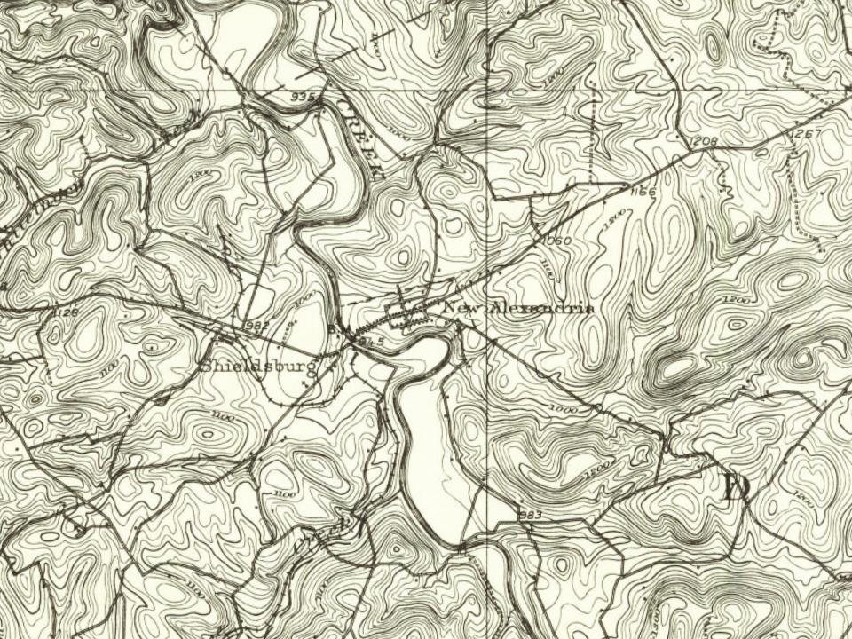
Every edition of the U.S. Geological Survey’s map of New Alexandria. Tap a year, or press play to watch the town change.
1900Latrobe sheet · 1:62,500
U.S. Geological Survey historical topographic maps (public domain), via Esri’s collection of the scans. The red ring marks the center of New Alexandria.
People over time
New Alexandria, census by census
Peaked at 697 in 1980; 501 people lived here in 2020.
19 censuses, 1840–2020.
U.S. Census Bureau decennial counts, from the census table on New Alexandria’s Wikipedia page.
New Alexandria (once known as Denniston's Town) is one of the oldest boroughs in Westmoreland County. It originally included what later became Ligonier Borough. The area that became New Alexandria was first settled in 1760 along the banks of the historic Loyalhanna Creek. To protect the settlers from Native American raids, Craig's Fort was built nearby around 1774. The settlement became a wagon rest stop for travelers, soldiers and militiamen during the American Revolution.
The borough was incorporated by an Act of Assembly passed on April 10, 1834. By 1906, two schools were in operation with 100 students.
Nothing in the archives for these yearsWeddings on Main Street, storms, parades, school pictures, the old store. If it’s in your family album, it belongs here.
Founding dates: Wikidata, Wikipedia, the U.S. post office records of Blevins & Helbock (CC0) and the Census. Homes by year built: Census ACS 2020–24. National Register of Historic Places: National Park Service (list of May 22, 2026). Old photos, postcards and papers: Wikimedia Commons, the Library of Congress and other public archives, credited on each item’s page. Maps: U.S. Geological Survey historical topographic maps (via Esri) and Sanborn fire-insurance maps (Library of Congress). History text and census tables: Wikipedia (CC BY-SA 4.0). Places that used to be: USGS Geographic Names Information System (2021). How TownRatings grades history →
From Wikimedia Commons (6), Wikipedia, Wikidata and Wikipedia for famous people, U.S. Geological Survey historical maps, U.S. Census counts (via Wikipedia) and the US Post Offices dataset (Blevins & Helbock). Archive images are copied here with their credits and licenses, shown on each photo’s page. Refreshed monthly.






 1923
 2018
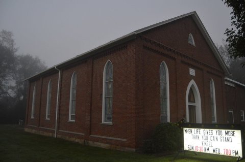 2014
 2014