The borough of Irvona was named in honor of Edward A. Irvin, a Union Army lieutenant colonel and member of the Pennsylvania Senate. The town was incorporated on September 2, 1890.
Passages that mention Irvona, cut from the printed page as they were published.
History of Clearfield County, Pennsylvania1887 · page 498Read the page →
Read the text
Railroads. — With the extension of the Bell's Gap Railroad from Irvona, in Clearfield county, to Punxsutawney, in Jefferson county, by the Clearfield and Jefferson Railroad Company, the first railroad was constructed in Chest township in 1887. It passes through the extreme northern end of the township, and at the village of Newburg, one of the old towns of the township, has sprung up a flourishing town. From the southern boundary, through the whole length of the township, and to the northwestern corner flows Chest Creek, which has its source in Clearfield township, Cambria county. Situated
Text read by machine from the scan; it may contain errors.
History of Clearfield County Pennsylvania1887 · page 411Read the page →
Read the text
diversified, and wild scenery, is much resorted to by excursionists during the summer months. ; During the year 1886 a second railroad was completed, extending from the Pennsylvania Railroad at Cresson, Cambria county, to Irvona, in Beccaria township, and under the charter name of the Cresson, Clearfield County, and New York Short Route Railroad Company, although commonly known as the Cresson and Coalport Railroad. This road was largely due to the untiring energy of Hon. John Dean, president judge of Cambria county, for its con-
Text read by machine from the scan; it may contain errors.
History of Clearfield County Pennsylvania1887 · page 498Read the page →
Read the text
Ratlroads.—With the extension of the Bell’s Gap Railroad from Irvona, in Clearfield county, to Punxsutawney, in Jefferson county, by the Clearfield and Jefferson Railroad Company, the first railroad was constructed in Chest township in 1887. It passes through the extreme northern end of the township, and at the village of Newburg, one of the old towns of the township, has sprung up a flourishing town. From the southern boundary, through the whole length of the township, and to the northwestern corner flows Chest Creek, which has its source in Clearfield township, Cambria county. Situated
Text read by machine from the scan; it may contain errors.
Twentieth century history of Clearfield County, Pennsylvania1911 · page 267Read the page →
Read the text
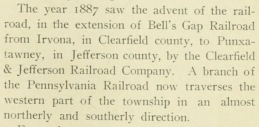
The year 1887 saw the advent of the railroad, in the extension of Bell's Gap Railroad from Irvona, in Clearfield county, to Punxalawney, in Jefferson county, by the Clearfield & Jefferson Railroad Company. A branch of the Pennsylvania Railroad now traverses the western part of the township in an almost northerly and southerly direction.
Text read by machine from the scan; it may contain errors.
Scans and text from the Internet Archive. Books published in 1930 or earlier, which are in the public domain.
Timeline
Irvona, 1850 to 1930
Woven from the archive, old maps, post office records, the National Register and the people born here.
Nothing in the archives for these yearsWeddings on Main Street, storms, parades, school pictures, the old store. If it’s in your family album, it belongs here.
Founding dates: Wikidata, Wikipedia, the U.S. post office records of Blevins & Helbock (CC0) and the Census. Homes by year built: Census ACS 2020–24. National Register of Historic Places: National Park Service (list of May 22, 2026). Old photos, postcards and papers: Wikimedia Commons, the Library of Congress and other public archives, credited on each item’s page. Maps: U.S. Geological Survey historical topographic maps (via Esri) and Sanborn fire-insurance maps (Library of Congress). History text and census tables: Wikipedia (CC BY-SA 4.0). Places that used to be: USGS Geographic Names Information System (2021). How TownRatings grades history →
From Wikimedia Commons (3), Wikipedia, U.S. Geological Survey historical maps, U.S. Census counts (via Wikipedia), the US Post Offices dataset (Blevins & Helbock), the USGS Geographic Names Information System, Sanborn fire insurance maps (Library of Congress) and old county and town histories (Internet Archive). Archive images are copied here with their credits and licenses, shown on each photo’s page. Refreshed monthly.




 2015


