Founding year: Wikidata. First post office: 1827.The full story ↓
History grade
What drives Hughesville’s History grade
On its age, its old homes and the National Register, Hughesville is more historic than 77% of U.S. towns. Its share of homes from before 1940 holds the grade up; its National Register listings pull it down.
A−
HistoryA character grade: shown, never part of Hughesville’s overall grade.
Pennsylvania towns list about as much on the Register as the country (a typical Pennsylvania town has 2.1 per 10,000 residents, the U.S. 2.4), so Hughesville’s 0.0 sits below most of its state (25% of Pennsylvania towns have fewer) while its 0 listings outnumber those of 23% of U.S. towns.
How sure. Graded on any two of the three inputs instead, the letter would range from B− to A+. The pre-1940 share is a Census survey estimate (±15.4 points). Two sources give 1816.
Founding year: Wikidata (other dates in Quick answers). Homes: Census ACS 2020–24. National Register: National Park Service, May 2026 list; each listing counted once (boundary changes and added documentation belong to their listing), and a historic district counts its contributing buildings. How TownRatings grades history →
What stands out about Hughesville’s past
Read from the archive, the National Register and the record. The page puts what stands out first.
Hughesville is named for Jeptha Hughes, who purchased land from John Heap in 1816 and laid out the town of "Hughesburg" before selling the entire plot to Daniel Harrold in 1820. The town grew slowly around a gristmill that was constructed by Jacob Clayton. A tavern was built in 1820, and a general store followed ten years later. The first doctor in Hughesville, John W. Peale, arrived in 1828. Hughesville was incorporated as a borough on April 23, 1852. The first dentist opened an office in 1853 and the first lawyer settled in Hughesville in 1875.
Fire insurance maps drew every building, what it was made of and what it was used for, so insurers could price the risk of fire. Pick a year, then a sheet.
Sanborn Map Company, via the Library of Congress. Editions published in 1930 or earlier, which are in the public domain.
From the old history books
What they wrote about Hughesville, 1892–1929
Passages that mention Hughesville, cut from the printed page as they were published.
History of Lycoming County, Pennsylvania1892 · page 983Read the page →
Read the text
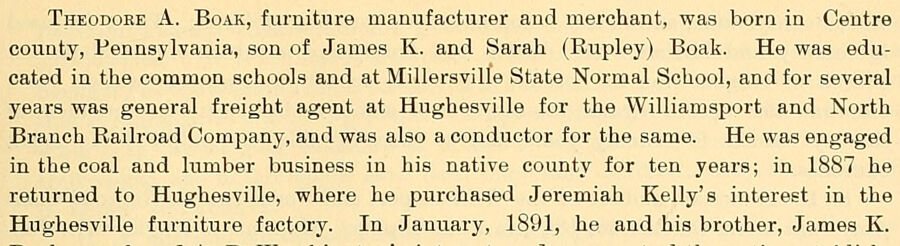
Theodore A. Boak, furniture manufacturer and merchant, was born in Centre county, Pennsylvania, son of James K. and Sarah (Rupley) Boak. He was educated in the common schools and at Milleraville State Normal School, and for several years was general freight agent at Hughesville for the Williamsport and North Branch Railroad Company, and was also a conductor for the same. He was engaged in the coal and lumber business in his native county for ten years; in 1887 he returned to Hughesville, where he purchased Jeremiah Kelly's interest in the Hughesville furniture factory. In January, 1891, he and his brother, James K.
Text read by machine from the scan; it may contain errors.
History of Lycoming County, Pennsylvania1892 · page 511Read the page →
Read the text
Early in 1852 a movement was started to have the town incorporated. The act passed and was approved, April 23, 1852. The boundaries were defined as follows: That the town of Hughesville, in the county of Lycoming, and territory included within the following boundaries, to wit: Beginning at a point on the land of Edward Lyon; thence running S. 40' 30' "W. 210 perches to a point on the lands of Abraham Bodine: thence S. 49° 30' E. 78 perches to a point on the lands of Thomas Ellis; thence X. 40= 30' E. 251 perches to a point on the aforesaid lands of Edward Lyon; thence X. 79' "W. 90 perches to the place of beginning, is hereby erected into a borough, to be called and styled "the borough of Hughes-
Text read by machine from the scan; it may contain errors.
Genealogical and personal history of Lycoming County, Pennsylvania.1906 · page 68Read the page →
Read the text
arship is annually awarded at the close of the scholastic year to that student of the Hughesville High School who shall have attained to the highest degree of advancement, and this excellent benefaction has been the means of providing to many a young person a thoroughness of preparation which has enabled the recipient to enter upon a successful career in life. He has also founded a permanent scholarship in the Susquehanna University at Selinsgrove, Pennsylvania, placing it under the absolute control of the Lutheran church of Hughesville. In both of these
Text read by machine from the scan; it may contain errors.
History of Lycoming County, Pennsylvania1929 · page 176Read the page →
Read the text
When the Williamsport and North Branch Railroad was completed in 1872, Hughesville became its northern terminus ~ and it connected at Halls with the Reading. The railroad was subsequently continued over to Satterfield on the Lehigh Valley, and, although passenger service on it has been abandoned, it still maintains an adequate freight service, thus giving to
Text read by machine from the scan; it may contain errors.
Scans and text from the Internet Archive. Books published in 1930 or earlier, which are in the public domain.
Timeline
Hughesville, 1816 to 1953
Woven from the archive, old maps, post office records, the National Register and the people born here.
In 1816, according to Wikidata. Hughesville’s post office opened in 1827, and the census of 1860 counted 363 people here.
How does Hughesville rank for history?
Hughesville is more historic than 77% of U.S. towns. The History grade combines the town’s founding era, the share of homes built before 1940 and its National Register listings. It’s a character grade, so it isn’t part of the overall grade. How it works.
How old are the homes in Hughesville?
55% of Hughesville’s homes were built before 1940 (Census estimate, ±15.4 points), against a typical 18% for a Pennsylvania town; the median home was built in 1938.
Founding dates: Wikidata, Wikipedia, the U.S. post office records of Blevins & Helbock (CC0) and the Census. Homes by year built: Census ACS 2020–24. National Register of Historic Places: National Park Service (list of May 22, 2026). Old photos, postcards and papers: Wikimedia Commons, the Library of Congress and other public archives, credited on each item’s page. Maps: U.S. Geological Survey historical topographic maps (via Esri) and Sanborn fire-insurance maps (Library of Congress). History text and census tables: Wikipedia (CC BY-SA 4.0). Places that used to be: USGS Geographic Names Information System (2021).
From Wikimedia Commons (6), Wikipedia, U.S. Geological Survey historical maps, U.S. Census counts (via Wikipedia), the US Post Offices dataset (Blevins & Helbock), the USGS Geographic Names Information System, Sanborn fire insurance maps (Library of Congress) and old county and town histories (Internet Archive). Archive images are copied here with their credits and licenses, shown on each photo’s page. Refreshed monthly.




 2012
 2009
 2009
 2009
 2009
 2007


