Heckshersville Playground
Park
1 acres
Dog rules not recorded
No trailhead mapped yet
Each edition grades its towns against each other only.
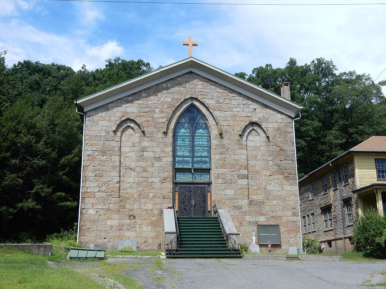 Photo: Shuvaev · CC BY-SA 4.0
3% of Heckscherville’s land is conserved, about 8 acres. 8 acres are parks and preserves, 27 per 1,000 residents. 61% of residents live within a half mile of a park.
Tap a number to zoom to a park. Tap a layer to hide it.
Directions go to the nearest trailhead or public parking.
3% of Heckscherville’s land. Who manages Heckscherville’s conserved land, from the USGS Protected Areas Database. Approximate, because parcels can overlap.
| Parcel (PAD-US) | Managed by | Acres | Public access |
|---|---|---|---|
| Heckscherville Playground Local Recreation Area | Other or Unknown Local Government | 8 | Open |
NOAA’s 1991–2020 normals for the town and the daylight at its latitude. Outlined months have long days, highs of 59 to 86 °F and little rain for the place.
| Jan | Feb | Mar | Apr | May | Jun | Jul | Aug | Sep | Oct | Nov | Dec | |
|---|---|---|---|---|---|---|---|---|---|---|---|---|
| Daylight (h) | 9.6 | 10.6 | 11.8 | 13.2 | 14.4 | 15.1 | 14.8 | 13.8 | 12.4 | 11.0 | 9.8 | 9.3 |
| High (°F) | 33 | 36 | 45 | 58 | 68 | 76 | 81 | 79 | 72 | 60 | 48 | 38 |
| Rain (in) | 3.8 | 2.9 | 4.2 | 4.4 | 4.5 | 4.7 | 5.1 | 4.5 | 5.1 | 4.7 | 3.8 | 4.1 |
February is the driest month (2.9 in) and July the warmest (highs of 81 °F). 5.1 inches fall in September, the wettest month. The climate in Heckscherville →
Heckshersville Playground doesn’t have dog rules recorded on the map; check the signs at the trailhead.
19,586 acres of parks and open public land lie inside Heckscherville or within 10 miles of it (PAD-US), 8 of them inside the town line.
Conditions, parking and favorite walks from Heckscherville neighbors.
Conserved and public land: USGS Protected Areas Database of the United States (PAD-US), service updated July 2026. Parks, trails, playgrounds, beaches and other places: OpenStreetMap (© OpenStreetMap contributors, ODbL), map data as of 2026-10-28. Land and water area: Census 2025 Gazetteer. Residents near a park: 2020 Census blocks. National Register: National Park Service. How TownRatings grades the outdoors →