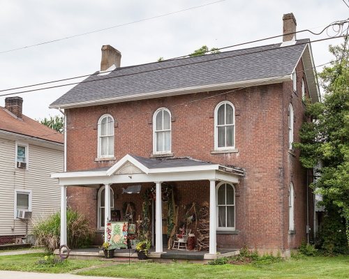
Greensboro dates to 1781, and 59% of its homes were built before 1940
6 places in town are on the National Register, among them a historic district with 29 buildings. Below: 5 old photos and papers, maps from 1900 on, and the census since 1880.
Like much of the region, Greensboro can trace its roots back to Native American settlement, to the Mingo tribes of the Northern Iroquois. What was to later become Greensboro was first known to the Mingo as "Delight", so named in recognition of the rich farmland that stretched along the banks of the Monongahela River. As early as 1752, settlers from the east and south began to stake their claims in the lands along the Monongahela. The first white settler of Delight was explorer-trader John Badolet, who was a close friend of John Minor. Minor was the leader of the first group to settle in the area presently known as Mapletown, to the northwest of Greensboro in Monongahela Township.
Nothing in the archives for these yearsWeddings on Main Street, storms, parades, school pictures, the old store. If it’s in your family album, it belongs here.
In 1781, according to Wikidata. Greensboro’s post office opened in 1812, and the census of 1880 counted 482 people here.
What is on the National Register in Greensboro?
6 listings: 5 buildings, among them the Alexander V. Boughner House (listed 1995, the first), and 1 historic district, the Greensboro Historic District, with 29 contributing buildings. 34 historic buildings in all.
Founding dates: Wikidata, Wikipedia, the U.S. post office records of Blevins & Helbock (CC0) and the Census. Homes by year built: Census ACS 2020–24. National Register of Historic Places: National Park Service (list of May 22, 2026). Old photos, postcards and papers: Wikimedia Commons, the Library of Congress and other public archives, credited on each item’s page. Maps: U.S. Geological Survey historical topographic maps (via Esri) and Sanborn fire-insurance maps (Library of Congress). History text and census tables: Wikipedia (CC BY-SA 4.0). Places that used to be: USGS Geographic Names Information System (2021). How TownRatings grades history →
From Wikimedia Commons (5), Wikidata (1), the National Register of Historic Places (6), Wikipedia, Wikidata and Wikipedia for famous people, U.S. Geological Survey historical maps, U.S. Census counts (via Wikipedia), the US Post Offices dataset (Blevins & Helbock) and the USGS Geographic Names Information System. Archive images are copied here with their credits and licenses, shown on each photo’s page. Refreshed monthly.


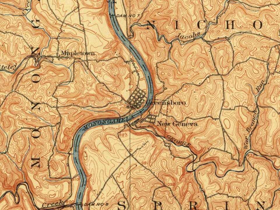




 1994
 1994
 1994