
Frystown, Pennsylvania, 2012
Frystown’s story
Frystown in pictures
The archive holds 9 old photos and papers going back to 2012 and 6 maps from 1891 on.
Explore the history →Each edition grades its towns against each other only.

The town, home to 99 people, lies in Pennsylvania.
Frystown has fewer than 1,000 residents, too few for fair grades; the figures below are still real.
In a town this size, neighbors are the best guide. Ask them anything.
The archive holds 9 old photos and papers going back to 2012 and 6 maps from 1891 on.
Explore the history →Frystown is unincorporated, so Berks County and regional agencies provide most services.
EPA SDWIS (Oct 9, 2026) · HIFLD + EIA-861 2025 · Census 2020 ZCTAs · NCES 2024–25 · registration: vote.gov, updated Nov 18, 2024.
Ordered by what stands out in Frystown.
FEMA puts just over three fifths of Frystown’s expected hazard losses down to inland flooding, and 13% to hurricanes. Storm and flood damage is expected to run lower than in 83% of U.S. communities.
FEMA National Risk Index · OpenFEMA
The top destinations are Bethel Township (12%), Jackson Township (4%) and Lebanon (3%). Half commute less than 19 miles.
Census LEHD 2023 · ACS
In July, afternoons reach 85°; in January, nights fall to 21°, and about 30 inches of snow falls in a winter.
NOAA U.S. Climate Normals, 1991–2020
Nearly a tenth of Frystown adults 18 to 64 have no health insurance, above both the Pennsylvania town median (6.9%) and the median of U.S. towns (8.1%). In Frystown, nearly a fifth of adults binge drink. Among adults in the town, 32% have obesity and 39% sleep under 7 hours.
| Frystown | Pennsylvania towns | U.S. towns | |
|---|---|---|---|
| Binge drink (CDC PLACES) | 19% | 18% | 16% |
| Obesity (CDC PLACES) | 32% | 35% | 35% |
| Sleep under 7 hours (CDC PLACES) | 39% | 38% | 36% |
| Smoke cigarettes (CDC PLACES) | 17% | 17% | 14% |
| What stands out | Frystown | PA |
|---|---|---|
| More uninsured adults | 9% | 5.8% |
| More adults with COPD | 8.9% | 7.7% |
CDC PLACES 2025 · modeled estimates for adults · CMS · HRSA
Across 1 park or preserve: 0.6 miles of trail. One park or preserve covers 2 acres in Frystown. The town’s concentration of trails is 0.5 miles per square mile.
| Frystown | Pennsylvania towns | U.S. towns | |
|---|---|---|---|
| Conserved land | 3.6% | 8.2% | 4.3% |
| Miles of trail per square mile | 0.5 miles per square mile | 0.4 | 0.4 |
| Biggest places to walk | Trails | Acres |
|---|---|---|
| 1. Frystown Park | — | 2 |
Trails & parks © OpenStreetMap contributors · Conserved land: USGS PAD-US
Museums, parks, gardens and other places to visit around Frystown. Close and well known come first.
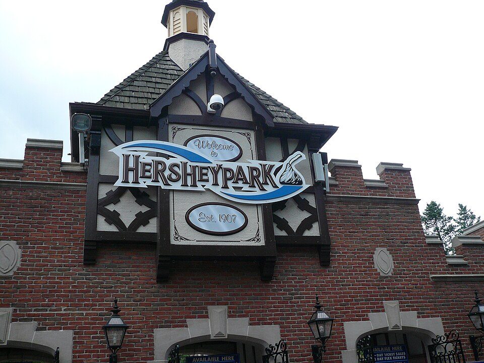 21 mi Theme parkHersheypark3.0M visitors a year31 mi Theme parkKnoebels Amusement Resort
 21 mi Stadium & arenaHersheypark Stadium
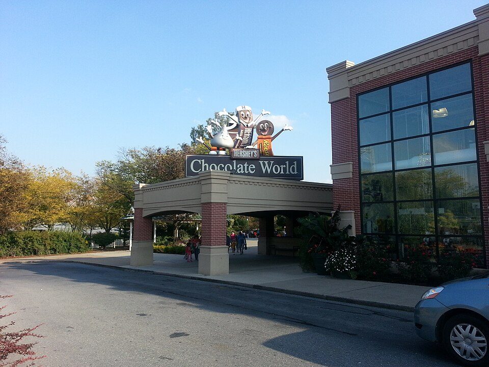 21 mi MuseumHershey's Chocolate World
 11 mi Park & preserveRoadside America
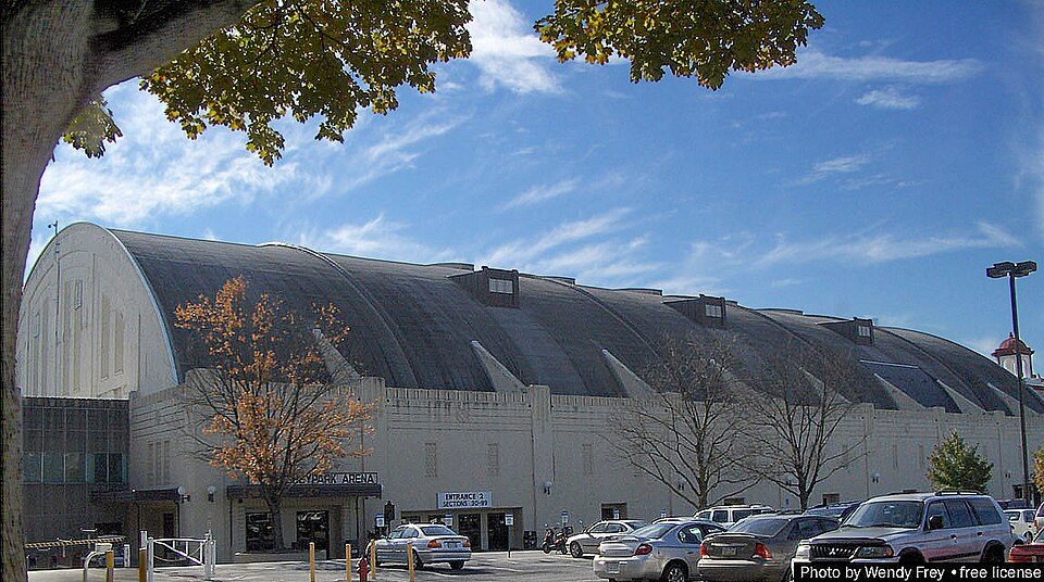 21 mi Stadium & arenaHersheypark Arena
Hersheypark: Michael Gray, CC BY-SA 2.0 · Hersheypark Stadium: 45BearsFan, CC BY-SA 4.0 · Hershey's Chocolate World: Phillyfan0419, CC BY-SA 3.0 · Roadside America: Mark Fleisher, President and CEO of Aim Advertising in Lewisburg, PA,, Public domain · Hersheypark Arena: Hersheyarena4ever at English Wikipedia, Public domain
1 within 15 miles of the center of Frystown
About 0 of every 100 Frystown residents are enrolled in college, against 6 across Pennsylvania.
Where Frystown’s working residents go each day. Line width shows the share.
Census LEHD 2023
Unincorporated community in Pennsylvania, US
Frystown is a census-designated place in Bethel Township, in far western Berks County, Pennsylvania, United States. It is located near the township line with Tulpehocken Township. The community is served by the Tulpehocken Area School District. As of the 2010 census, the population was 380 residents. The Little Swatara Creek forms the natural southern boundary of Frystown and flows westward into the Swatara Creek, a tributary of the Susquehanna River. Interstate 78 has an interchange with Route 645 in Frystown. The CDP is split between the Myerstown and Bethel post offices, which use the ZIP codes of 17067 and 19507, respectively.
From Wikipedia, licensed CC BY-SA 4.0 · facts via Wikidata (CC0)
Short answers, built from the data on this page.
Frystown has fewer than 1,000 residents, too few for fair grades; the figures below are still real.


