Fayette City was originally known as Freeport, founded in 1794 by Colonel Edward Cook. In 1825, Freeport was renamed Cookstown in honor of Colonel Cook who had died in 1812. On April 11, 1854 the town's name was changed to Fayette City, in honor of the Marquis de Lafayette.
In 1895 the Pittsburgh and Lake Erie railroad completed an extension to Fayette City.
A ferry operated between Fayette City and Allenport from 1820–1962.
In 2012, the mayor Herbert Vargo Jr. pled guilty to running a numbers scheme and was sentenced to a year of probation.
Fayette City's mining history dates to 1830, when the Cardondelet, Furlong, and Snow Hill mines were sunk.
Every edition of the U.S. Geological Survey’s map of Fayette City. Tap a year, or press play to watch the town change.
1902Brownsville sheet · 1:62,500
U.S. Geological Survey historical topographic maps (public domain), via Esri’s collection of the scans. The red ring marks the center of Fayette City.
People over time
Fayette City, census by census
Peaked at 2,018 in 1920; 502 people lived here in 2020.
19 censuses, 1840–2020.
U.S. Census Bureau decennial counts, from the census table on Fayette City’s Wikipedia page.
From the old history books
What they wrote about Fayette City, 1882–1900
Passages that mention Fayette City, cut from the printed page as they were published.
History of Fayette County, Pennsylvania1882 · page 819Read the page →
Read the text
Fayette City, a thriving borough of about nine hundred inhabitants, located upon the Monongahela, twelve miles below Brownsville, ranks among the old towns of Fayette County. Founded about 1800 by Col. Edward Cook as Frgeport, it was known as Cobkstown from 1825 to 1854, when its name was changed by legislative act to Fayette City. It is a point of considerable shipment, via the Mononga-
Text read by machine from the scan; it may contain errors.
History of Fayette County, Pennsylvania1882 · page 808Read the page →
Read the text
he looked after closely despite the pressure upon his time by his official cares. He built a saw-mill and i grist-mill on Cook's Run, laid out Freeport (afterwards Cookstown, and now Fayette City), and was largely engaged at his home-farm in distilling. He •was conspicuous in the Whiskey Insurrection, and j having been prominent in some of the meetings of the insurgents, his arrest was ordered, Imt in the
Text read by machine from the scan; it may contain errors.
Nelson's biographical dictionary and historical reference book of Fayette County, Pennsylvania1900 · page 297Read the page →
Read the text
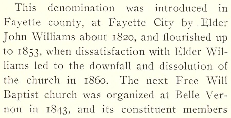
This denomination was introduced in Fayette county, at Fayette City by Elder John Williams about 1820, and flourished up to 1853, when dissatisfaction with Elder Williams led to the downfall and dissolution of the church in i860. The next Free Will Baptist church was organized at Belle Vernon in 1843, and its constituent members
Text read by machine from the scan; it may contain errors.
Nelson's biographical dictionary and historical reference book of Fayette County, Pennsylvania1900 · page 307Read the page →
Read the text
1893 at Fairchance where they buih a church, and still have an organization, and since then another church has been formed at Fayette City. A. M. E. ZIOX CHURCH. This colored people's organization was formed in Xew York city in 1796, and the Uniontown church was organized in 1849
Text read by machine from the scan; it may contain errors.
Scans and text from the Internet Archive. Books published in 1930 or earlier, which are in the public domain.
Timeline
Fayette City, 1806 to 1932
Woven from the archive, old maps, post office records, the National Register and the people born here.
Nothing in the archives for these yearsWeddings on Main Street, storms, parades, school pictures, the old store. If it’s in your family album, it belongs here.
Fire insurance maps drew every building, what it was made of and what it was used for, so insurers could price the risk of fire. Pick a year, then a sheet.
Founding dates: Wikidata, Wikipedia, the U.S. post office records of Blevins & Helbock (CC0) and the Census. Homes by year built: Census ACS 2020–24. National Register of Historic Places: National Park Service (list of May 22, 2026). Old photos, postcards and papers: Wikimedia Commons, the Library of Congress and other public archives, credited on each item’s page. Maps: U.S. Geological Survey historical topographic maps (via Esri) and Sanborn fire-insurance maps (Library of Congress). History text and census tables: Wikipedia (CC BY-SA 4.0). Places that used to be: USGS Geographic Names Information System (2021). How TownRatings grades history →
From Wikimedia Commons (5), the Library of Congress (6), Wikipedia, Wikidata and Wikipedia for famous people, U.S. Geological Survey historical maps, U.S. Census counts (via Wikipedia), the US Post Offices dataset (Blevins & Helbock), the USGS Geographic Names Information System, Sanborn fire insurance maps (Library of Congress) and old county and town histories (Internet Archive). Archive images are copied here with their credits and licenses, shown on each photo’s page. Refreshed monthly.


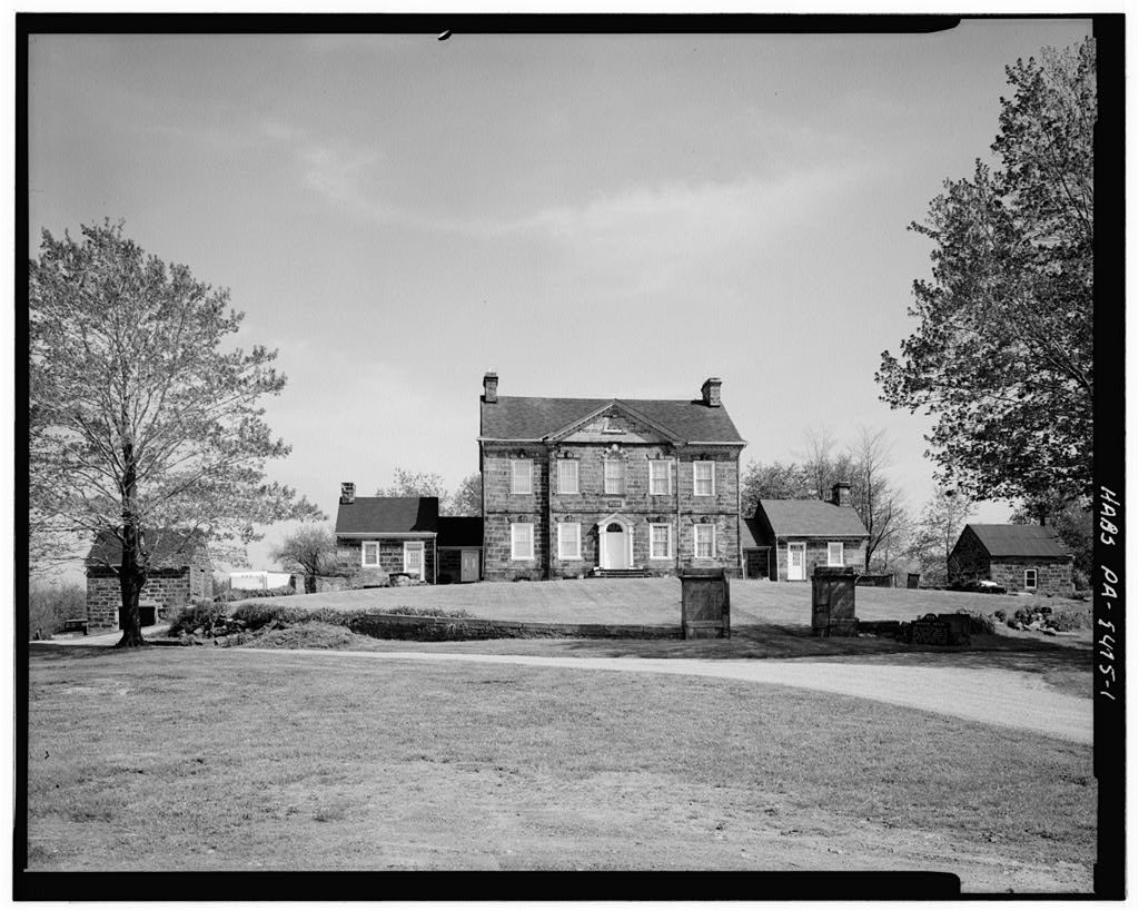




 Date?
 Date?
 Date?
 Date?
 Date?
 Date?
 2021
 2015
 2015
 2015

