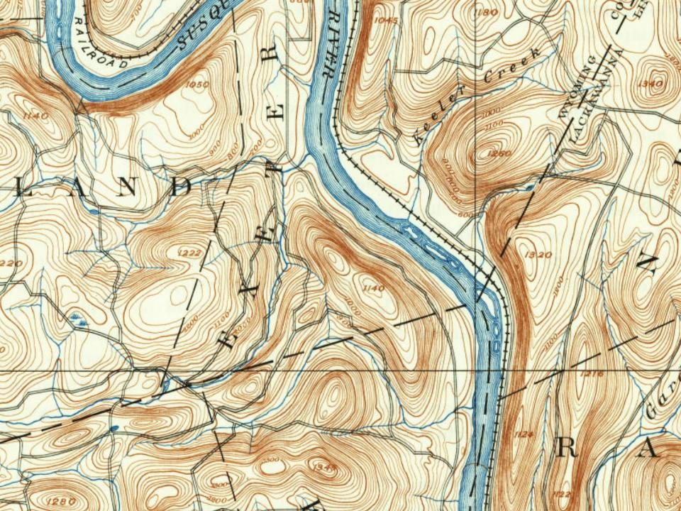
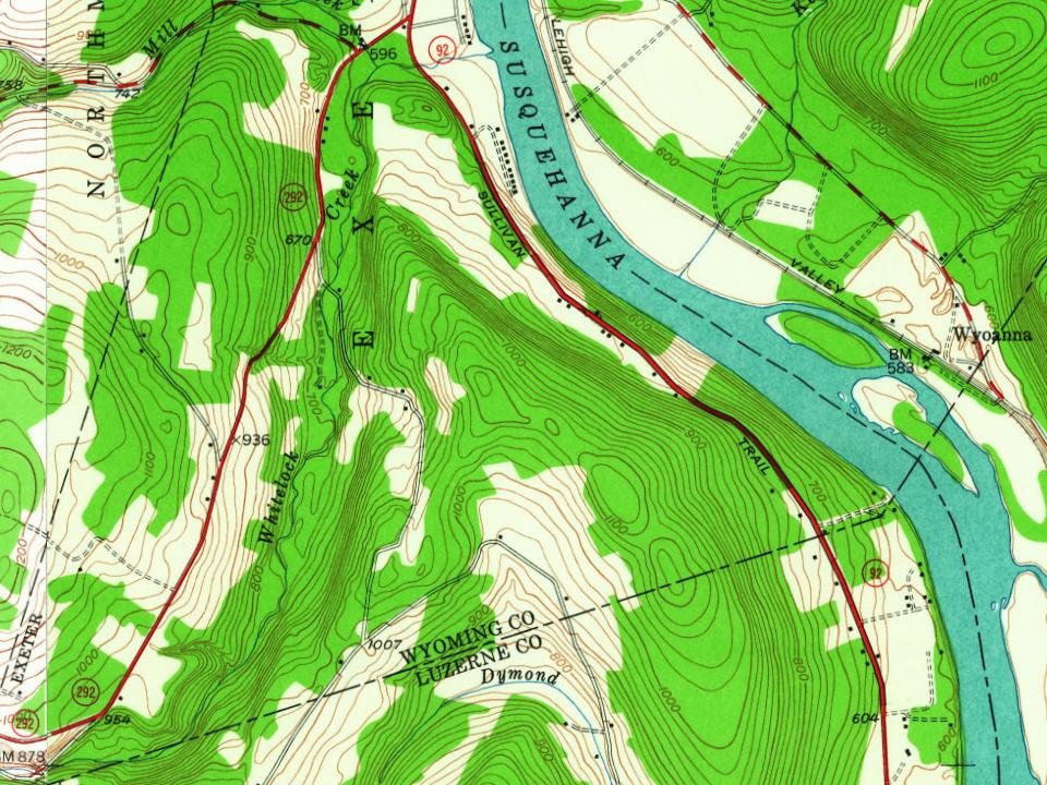
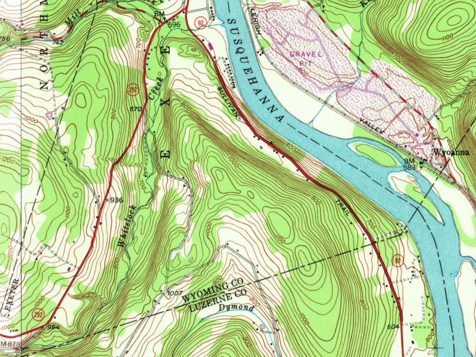
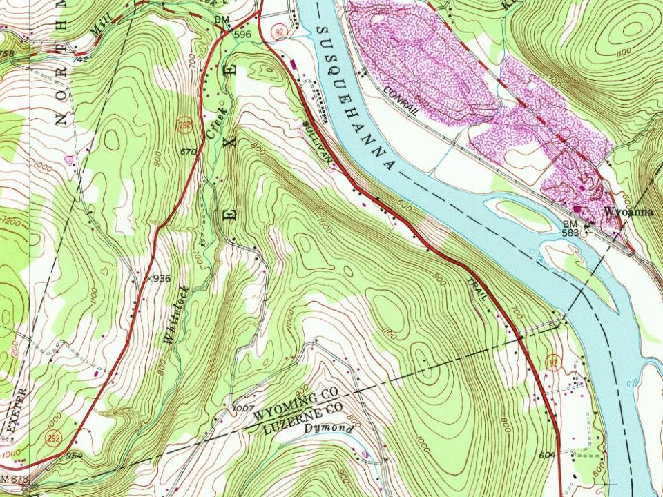
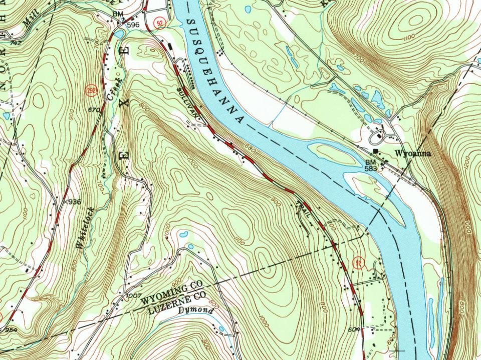
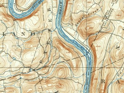
Every edition of the U.S. Geological Survey’s map of Exeter Township. Tap a year, or press play to watch the town change.
1893Pittston sheet · 1:62,500
U.S. Geological Survey historical topographic maps (public domain), via Esri’s collection of the scans. The red ring marks the center of Exeter Township.
The name Exeter derives from the ancient city of Exeter in Devon, England. Numerous other places in Canada and the United States have also been given the same name.
In 1769, settlers from Connecticut began making their homes in the Wyoming Valley of Northeastern Pennsylvania but came into conflict with settlers from Pennsylvania during the Pennamite–Yankee Wars.
Nothing in the archives for these yearsWeddings on Main Street, storms, parades, school pictures, the old store. If it’s in your family album, it belongs here.
Founding dates: Wikidata, Wikipedia, the U.S. post office records of Blevins & Helbock (CC0) and the Census. Homes by year built: Census ACS 2020–24. National Register of Historic Places: National Park Service (list of May 22, 2026). Old photos, postcards and papers: Wikimedia Commons, the Library of Congress and other public archives, credited on each item’s page. Maps: U.S. Geological Survey historical topographic maps (via Esri) and Sanborn fire-insurance maps (Library of Congress). History text and census tables: Wikipedia (CC BY-SA 4.0). Places that used to be: USGS Geographic Names Information System (2021). How TownRatings grades history →
From Wikimedia Commons (5), the Library of Congress (3), Wikipedia, U.S. Geological Survey historical maps, U.S. Census counts (via Wikipedia), the US Post Offices dataset (Blevins & Helbock) and the USGS Geographic Names Information System. Archive images are copied here with their credits and licenses, shown on each photo’s page. Refreshed monthly.


 Date?
 Date?
 Date?
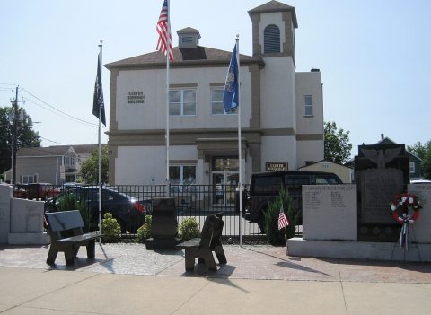 2023
 2017
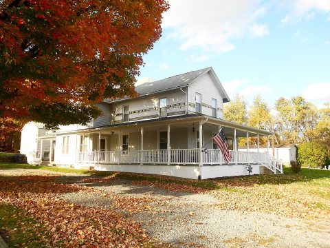 2016
 2011