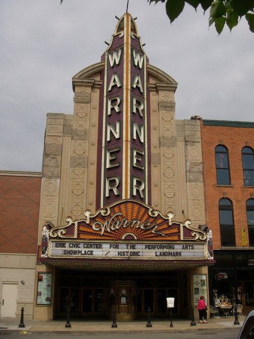
Erie dates to 1795, and 39% of its homes were built before 1940
More historic than 96% of U.S. towns · #102 of 1,035 in Pennsylvania. What drives it
30 places in town are on the National Register, among them five historic districts with 161 buildings between them. Below: 20 old photos and papers, maps from 1888 on, and the census since 1800.
Founding year: Wikidata. First post office: 1811.The full story ↓
History grade
What drives Erie’s History grade
On its age, its old homes and the National Register, Erie is more historic than 96% of U.S. towns, #102 of 1,035 in Pennsylvania. All 3 inputs are above most U.S. towns; its share of homes from before 1940 ranks highest and its age lowest.
A+
HistoryA character grade: shown, never part of Erie’s overall grade.
Pennsylvania towns list about as much on the Register as the country (a typical Pennsylvania town has 2.1 per 10,000 residents, the U.S. 2.4), so Erie’s 20.9 sits above most of its state (82% of Pennsylvania towns have fewer) while its 196 historic buildings outnumber those of 93% of U.S. towns.
How sure. Graded on any two of the three inputs instead, the letter would range from A to A+. The pre-1940 share (±1.5 points) is firm at this size. Two sources give 1795.
Founding year: Wikidata (other dates in Quick answers). Homes: Census ACS 2020–24. National Register: National Park Service, May 2026 list; each listing counted once (boundary changes and added documentation belong to their listing), and a historic district counts its contributing buildings. How TownRatings grades history →
What stands out about Erie’s past
Read from the archive, the National Register and the record. The page puts what stands out first.
Nothing in the archives for these yearsWeddings on Main Street, storms, parades, school pictures, the old store. If it’s in your family album, it belongs here.
Indigenous peoples occupied the shoreline and bluffs in this area for thousands of years, taking advantage of the rich resources. Sommerheim Park Archaeological District in Millcreek Township, west of the city, includes artifacts from the Archaic period in the Americas and the early and middle Woodland Period, roughly a span from 8,000 BCE to 500 CE.
Passages that mention Erie, cut from the printed page as they were published.
Centenary memorial of the planting and growth of Presbyterianism in western Pennsylvania and parts adjacent1876 · page 245Read the page →
Read the text
Pennsylvania, October 25 th, 1842. Its first meeting was held at Meadville, Pennsylvania, January loth, 1843, Rev. R. S. Lockwood presiding. It embraced all the ministers and churches of the Presbytery of Erie outside the county of Erie, the Presbytery of Erie being confined to Erie county. The Presbytery of Pittsburgh had been organized from the Presbytery of Ohio by the Synod of Pennsylvania soon after the great division.
Text read by machine from the scan; it may contain errors.
History of Erie County, Pennsylvania1925 · page 1272Read the page →
Read the text
with the degree of Bachelor of Laws in the class of 1893. After being admitted to the bar he went to Chicago and in 1895 returned to Waterford, where he gave his attention principally to the mercantile business until 1900, when he took up his residence in the city of Erie, and was admitted to the bar of Erie County. In 1902 he was elected to the office of district attorney of Erie County.
Text read by machine from the scan; it may contain errors.
History of Erie County, Pennsylvania1925 · page 825Read the page →
Read the text
of education and social improvement of the people among which he has cast his lot. He was a secretary of the Saint John Kanty College Association which built the Saint John Kanty College, south of Wesleyville, near the City of Erie. He was director of the Erie's Community Chest for one term, and he is president of the Community Young Men's Association, an institution which is endeavoring to do work on the east side of the City of Erie after the manner of the Y. M. C. A.
Text read by machine from the scan; it may contain errors.
Scans and text from the Internet Archive. Books published in 1930 or earlier, which are in the public domain.
Timeline
Erie, 1795 to 1939
Woven from the archive, old maps, post office records, the National Register and the people born here.
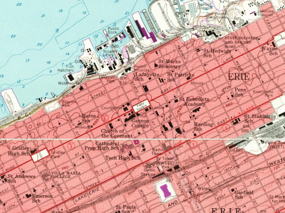
Every edition of the U.S. Geological Survey’s map of Erie. Tap a year, or press play to watch the town change.
1899Erie sheet · 1:62,500
U.S. Geological Survey historical topographic maps (public domain), via Esri’s collection of the scans. The red ring marks the center of Erie.
Every building
Erie, building by building, 1888–1921
Fire insurance maps drew every building, what it was made of and what it was used for, so insurers could price the risk of fire. Pick a year, then a sheet.
Lost post offices, old corners, places now gone and burying grounds
Erie’s post office has been open since 1811. Another post office, Wayne, opened and closed inside today’s town.
Erie
1811–today
Wayne
1840–1888
South Erie
1906–today
18101920today
Hamlets and corners on the map
Dock JunctionErie HeightsGlenwood
Gone or out of use
Glenwood Elementary Schoolschool
10cemeteries and burying grounds inside Erie
Anshe HesedErieGarrison HillLakesideLuther Memorial Church ColumbariumPennsylvania Soldier's and Sailor's HomePolish National Cemetery - St Mary of CzestochowaSaint John's Lutheran ChurchSaint Paul's Cathedral ColumbariumSaint Peter Cathedral Crypt
US Post Offices dataset (Blevins & Helbock, CC0). Places and cemeteries from the USGS Geographic Names Information System (2021).
Help out
Finish Erie’s story
Most archives stop around 1920. The photos from after that are in family albums, not libraries.
Decades since 1900 with photos
00s10s20s30s40s50s60s70s80s90s
1 of 10 decades. The empty ones are waiting for someone’s album.
In 1795, according to Wikidata. Erie’s post office opened in 1811, and the census of 1800 counted 81 people here.
How does Erie rank for history?
Erie is more historic than 96% of U.S. towns, #102 of 1,035 in Pennsylvania. The History grade combines the town’s founding era, the share of homes built before 1940 and its National Register listings. It’s a character grade, so it isn’t part of the overall grade. How it works.
What is on the National Register in Erie?
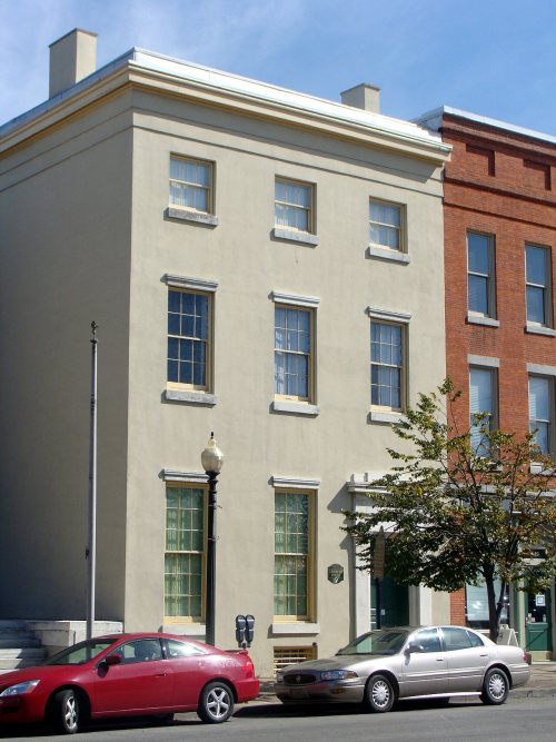
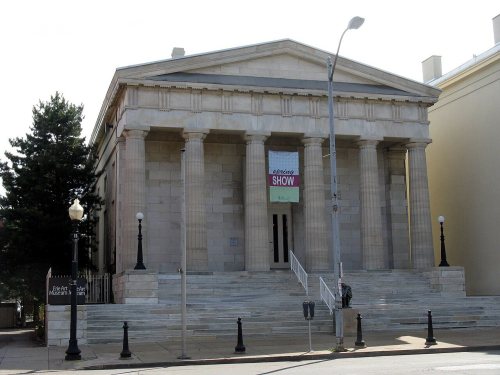
30 listings: 25 buildings, among them the Cashier's House (listed 1972, the first), 5 historic districts with 161 contributing buildings, and 1 structure. 196 historic buildings in all.
How old are the homes in Erie?
39% of Erie’s homes were built before 1940 (Census estimate, ±1.5 points), against a typical 18% for a Pennsylvania town; the median home was built in 1949.
Founding dates: Wikidata, Wikipedia, the U.S. post office records of Blevins & Helbock (CC0) and the Census. Homes by year built: Census ACS 2020–24. National Register of Historic Places: National Park Service (list of May 22, 2026). Old photos, postcards and papers: Wikimedia Commons, the Library of Congress and other public archives, credited on each item’s page. Maps: U.S. Geological Survey historical topographic maps (via Esri) and Sanborn fire-insurance maps (Library of Congress). History text and census tables: Wikipedia (CC BY-SA 4.0). Places that used to be: USGS Geographic Names Information System (2021).
From Wikimedia Commons (16), the Library of Congress (4), Wikidata (2), the National Register of Historic Places (31), Wikipedia, Wikidata and Wikipedia for famous people, U.S. Geological Survey historical maps, U.S. Census counts (via Wikipedia), the US Post Offices dataset (Blevins & Helbock), the USGS Geographic Names Information System, Sanborn fire insurance maps (Library of Congress) and old county and town histories (Internet Archive). Archive images are copied here with their credits and licenses, shown on each photo’s page. Refreshed monthly.




 1821
 c. 1860
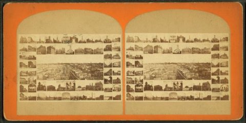 c. 1860
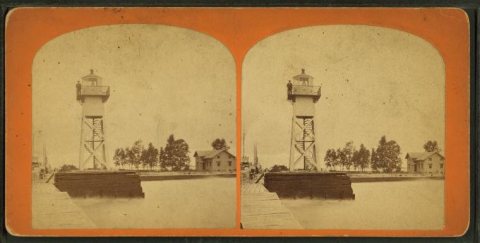 c. 1860
 c. 1860
 c. 1860
 1866
 1868
 1868
 1870
 1870
 1877
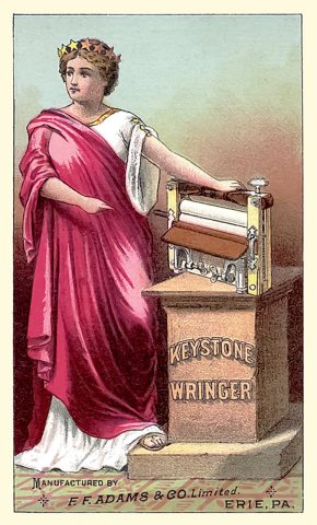 1885
 1895
 1897
 1900
 1900
 1901
 1902
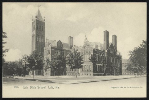 1905