Every edition of the U.S. Geological Survey’s map of Dunbar. Tap a year, or press play to watch the town change.
1900Uniontown sheet · 1:62,500
U.S. Geological Survey historical topographic maps (public domain), via Esri’s collection of the scans. The red ring marks the center of Dunbar.
People over time
Dunbar, census by census
Peaked at 1,970 in 1910; 1,013 people lived here in 2020.
14 censuses, 1890–2020.
U.S. Census Bureau decennial counts, from the census table on Dunbar’s Wikipedia page.
Every building
Dunbar, building by building, 1897–1908
Fire insurance maps drew every building, what it was made of and what it was used for, so insurers could price the risk of fire. Pick a year, then a sheet.
Dunbar is named for Col. Thomas Dunbar, who commanded an English force at nearby Jumonville and retreated to Philadelphia after Edward Braddock was defeated by the French and Indians.
Dunbar was originally laid out in 1857, and was incorporated into a borough on June 26, 1883.
Passages that mention Dunbar, cut from the printed page as they were published.
History of Fayette County, Pennsylvania1882 · page 513Read the page →
Read the text
Dunbar village, a station on the Southwestern Pennsylvania as well as on the Fayette County Railroad, lies about six miles south of New Haven. The village proper contains a population of about one thousand, while an outlying district, reaching to the Dunbar Furnace and neighboring coke-burning districts, contains more than the same number. The chief interests are those of iron-making, coal-mining,
Text read by machine from the scan; it may contain errors.
History of Fayette County, Pennsylvania1882 · page 517Read the page →
Read the text
Incidental reference to some of the early private or "subscription" schools taught in Dunbar township will be found in the history of the township's early settlement. The remote period at which the settlement of Dunbar began makes the task of reciting early school history a vague and unsatisfactory one at best. Every small settlement had its school as soon as the most important matter of settlement
Text read by machine from the scan; it may contain errors.
Scans and text from the Internet Archive. Books published in 1930 or earlier, which are in the public domain.
Timeline
Dunbar, 1857 to 1917
Woven from the archive, old maps, post office records, the National Register and the people born here.
Nothing in the archives for these yearsWeddings on Main Street, storms, parades, school pictures, the old store. If it’s in your family album, it belongs here.
In 1857, according to Wikidata and Wikipedia’s history of the town. Dunbar’s post office opened in 1859, and the census of 1890 counted 1,381 people here.
Founding dates: Wikidata, Wikipedia, the U.S. post office records of Blevins & Helbock (CC0) and the Census. Homes by year built: Census ACS 2020–24. National Register of Historic Places: National Park Service (list of May 22, 2026). Old photos, postcards and papers: Wikimedia Commons, the Library of Congress and other public archives, credited on each item’s page. Maps: U.S. Geological Survey historical topographic maps (via Esri) and Sanborn fire-insurance maps (Library of Congress). History text and census tables: Wikipedia (CC BY-SA 4.0). Places that used to be: USGS Geographic Names Information System (2021). How TownRatings grades history →
From Wikimedia Commons (11), the Library of Congress (1), Wikipedia, U.S. Geological Survey historical maps, U.S. Census counts (via Wikipedia), the US Post Offices dataset (Blevins & Helbock), the USGS Geographic Names Information System, Sanborn fire insurance maps (Library of Congress) and old county and town histories (Internet Archive). Archive images are copied here with their credits and licenses, shown on each photo’s page. Refreshed monthly.


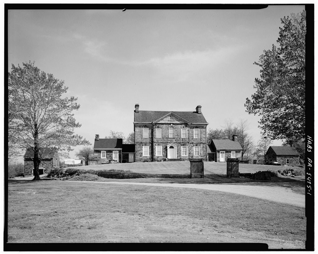


 1900
 1917
 1917
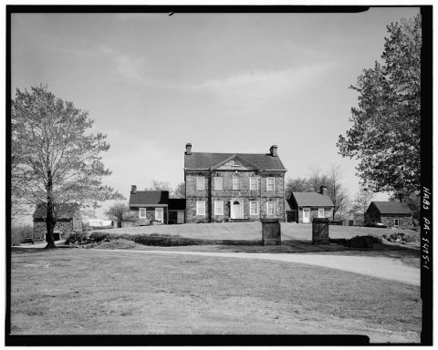 Date?
 2013
 2013
 2013
 2011
 2011
 2010


