

The story
Read it all →How Claysburg came to be
From Wikipedia’s history of Claysburg.
The town is the 1961 location of Claysburg Air Force Station (originally Blue Knob Park).
Text from Wikipedia, licensed CC BY-SA 4.0.
Each edition grades its towns against each other only.
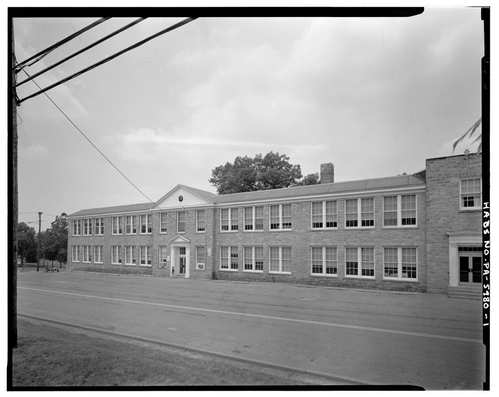
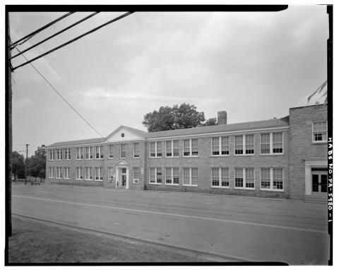
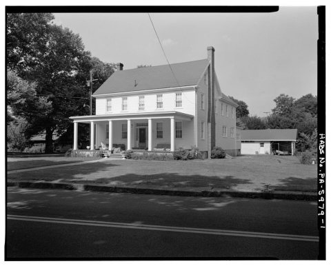
Below: 4 old photos and papers, maps from 1902 on, and the census since 2000.
The Claysburg post office opened in 1879, the earliest record of the town by name.
Read from the archive, the National Register and the record. The page puts what stands out first.
The first neighbors to add old photos shape how Claysburg’s history is told.
Every edition of the U.S. Geological Survey’s map of Claysburg. Tap a year, or press play to watch the town change.

U.S. Geological Survey historical topographic maps (public domain), via Esri’s collection of the scans. The red ring marks the center of Claysburg.
From Wikipedia’s history of Claysburg.
The town is the 1961 location of Claysburg Air Force Station (originally Blue Knob Park).
Text from Wikipedia, licensed CC BY-SA 4.0.
Passages that mention Claysburg, cut from the printed page as they were published.

Claysburg. — The picturesque little village of Claysburg is situated upon the Frankstown branch of the Juniata river. Although the pioneers, John Barnhart, Adam Black and Henry Bennett were early residents in the vicinity, it appears that John Ulrich Zeth was the first to locate upon the site of the village proper. He was a German by
Text read by machine from the scan; it may contain errors.
The village of Claysburg is situated on the Juniata river, just above the mouth of Beaver Dam creek. Further up, on the same stream, at a distance of about two miles from the village, is the site of the once famous Sarah Furnace, while throughout the township are scattered an industrious people, numerous sawand grist-mills,
Text read by machine from the scan; it may contain errors.Scans and text from the Internet Archive. Books published in 1930 or earlier, which are in the public domain.
No then-and-now pairs yet. Take a photo from the same spot as an old one and they appear here side by side.

Find the spot, match the angle, and add your photo. It becomes the first then-and-now pair on Claysburg’s page.
Retake this view · +15Between 1,291 and 1,625 people in every census since 2000.
3 censuses, 2000–2020.
U.S. Census Bureau decennial counts, from the census table on Claysburg’s Wikipedia page.
Each neighbor’s History grade, on the same three inputs.
The Claysburg post office opened in 1879, the earliest record of the town by name (U.S. post office records).
What the archives can’t tell you, neighbors can.
Founding dates: Wikidata, Wikipedia, the U.S. post office records of Blevins & Helbock (CC0) and the Census. Homes by year built: Census ACS 2020–24. National Register of Historic Places: National Park Service (list of May 22, 2026). Old photos, postcards and papers: Wikimedia Commons, the Library of Congress and other public archives, credited on each item’s page. Maps: U.S. Geological Survey historical topographic maps (via Esri) and Sanborn fire-insurance maps (Library of Congress). History text and census tables: Wikipedia (CC BY-SA 4.0). Places that used to be: USGS Geographic Names Information System (2021). How TownRatings grades history →
From the Library of Congress (4), Wikipedia, U.S. Geological Survey historical maps, U.S. Census counts (via Wikipedia) and old county and town histories (Internet Archive). Archive images are copied here with their credits and licenses, shown on each photo’s page. Refreshed monthly.
 Date?
 Date?
 Date?
 Date?