
Clay TownshipPA
A town of 7,081, settled in 1873.
Is Clay Township a good place to live?
Clay Township grades B− overall, 732nd among Pennsylvania's 1032 graded towns, with clear strengths and some subjects that lag. The median household earns $84K. It also does better than most on health: it is healthier than 65% of U.S. towns. Its lowest everyday mark is in cost of living: homes are expensive, about $324K for a typical one and 3.7 times the Lancaster metro’s $87K median household income. 44% of the land in Clay Township is conserved, where Pennsylvania’s towns sit at 8.2% and U.S. towns at 4.3%. The biggest place to walk is State Game Lands Number 46, 3,768 acres with 14.1 miles of trail. Only 80 of Pennsylvania’s 1,749 towns score lower on history.
21 miles of trails in Clay Township
43.5% of the town is conserved land, across 4 parks and preserves.
How Clay Township grades
Each subject compared with towns across the country (schools within Pennsylvania), ordered by how far Clay Township is from typical.
How TownRatings grades towns →
Hersheypark and 41 more within 40 miles
Museums, parks, gardens and other places to visit around Clay Township. Close and well known come first.
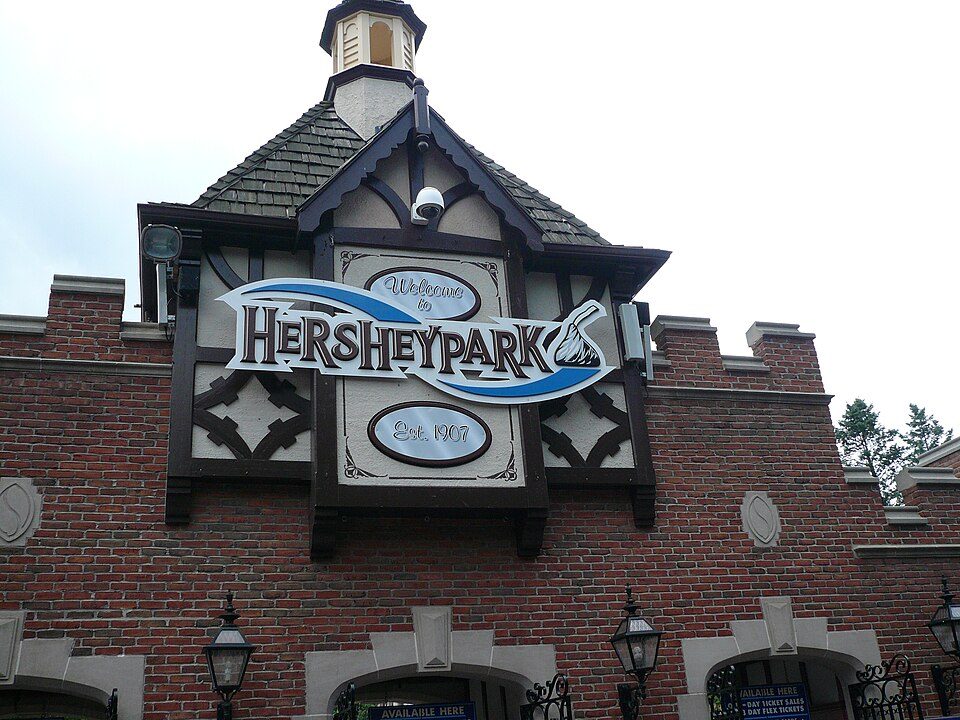 22 mi Theme parkHersheypark3.0M visitors a year
 5 mi MuseumEphrata Cloister
 39 mi GardenLongwood Gardens
 14 mi Theme parkDutch Wonderland
 22 mi Stadium & arenaHersheypark Stadium
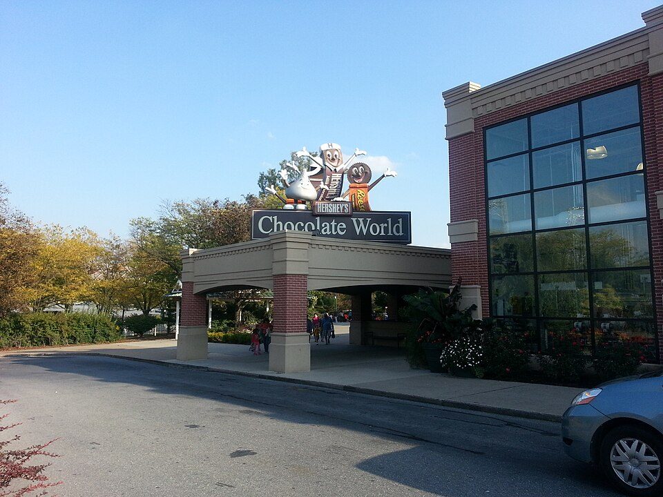 23 mi MuseumHershey's Chocolate World
Photo credits
Hersheypark: Michael Gray, CC BY-SA 2.0 · Ephrata Cloister: 1549bcp at English Wikipedia, Public domain · Longwood Gardens: P. Hughes, CC BY-SA 4.0 · Dutch Wonderland: FlugKerl2, CC BY-SA 3.0 · Hersheypark Stadium: 45BearsFan, CC BY-SA 4.0 · Hershey's Chocolate World: Phillyfan0419, CC BY-SA 3.0


Moving to Clay Township: who provides what
Who provides power, water and the rest in Clay Township, and how to reach them.
EPA SDWIS (Oct 9, 2026) · HIFLD + EIA-861 2025 · Census 2020 ZCTAs · NCES 2024–25 · registration: vote.gov, updated Nov 18, 2024.
The data
Ordered by what stands out in Clay Township.
Clay Township keeps more of its land conserved than most of Pennsylvania and has added a third more jobs in ten years.
Clay Township has set aside nearly a third of its land for conservation
Its 6,297 conserved acres are a larger share of the town than in 98% of Pennsylvania towns.
21 miles of trail in 4 parks and preserves. Clay Township’s trail density is 0.9 miles per square mile, against 0.4 in Pennsylvania’s towns and 0.4 across U.S. towns.
| Biggest places to walk | Trails | Acres |
|---|---|---|
| 1. State Game Lands Number 46 | 14.1 mi | 3,768 |
| 2. Middle Creek Wildlife Management Area | 4.2 mi | 1,618 |
| 3. Snyder Community Park | 0.7 mi | 21 |
Trails & parks © OpenStreetMap contributors · Conserved land: USGS PAD-US
On state tests, Clay Township’s schools trail 53% of Pennsylvania districts
Its public schools are run by Ephrata Area SD. Its one school is below.
| School | Level | Students | Letter |
|---|---|---|---|
| Clay El SchLargest public elementary schoolGrades K–4 | Grades K–4 | 377 | A− |
NCES · EDFacts · graded within PA on state tests and graduation
Most of Clay Township’s workers commute out: the town has 0.7 jobs for each of them
Jobs based here grew from 1,396 in 2013 to 1,955.
Most working residents leave Clay Township for work: only 8% work in town. Since 2013, Clay Township has added 559 jobs, to 1,955 in 2023. Clay Township’s average trip to work is 28 minutes.
| Clay Township | Pennsylvania towns | U.S. towns | |
|---|---|---|---|
| Average trip to work | 28 minutes | 26 minutes | 25 minutes |
| Below the poverty line | 5.4% | 7.6% | 9.6% |
Where working residents work
Census LEHD 2023 · ACS
Four seasons and pleasant summers in Clay Township
Clay Township has chilly winters and warm summers. July afternoons reach 85°, January nights drop to 22° and about 24 inches of snow falls in a winter.
Typical low → high °F
NOAA U.S. Climate Normals, 1991–2020
Clay Township earns a B+ for health
Clay Township beats the Pennsylvania average on 0 of 26 CDC measures and trails it on 1. 32% of adults have high blood pressure in Clay Township.
| Clay Township | Pennsylvania towns | U.S. towns | |
|---|---|---|---|
| High blood pressure (CDC PLACES) | 32% | 34% | 35% |
| Binge drink (CDC PLACES) | 18% | 18% | 16% |
| Get no exercise (CDC PLACES) | 23% | 24% | 25% |
| Smoke cigarettes (CDC PLACES) | 16% | 17% | 14% |
| What stands out | Clay Township | PA |
|---|---|---|
| More uninsured adults | 7.4% | 5.8% |
CDC PLACES 2025 · modeled estimates for adults · CMS · HRSA
Inland flooding leads a moderate hazard risk in Clay Township
Expected storm and flood damage is higher than in 55% of U.S. communities. Since 2011, 3 flood insurance claims have been paid out in Clay Township.
FEMA flood insurance claims · FEMA National Risk Index · OpenFEMA
Homes in Clay Township sell for about $63K
Zillow Home Value Index · Redfin Data Center
Everything we know about Clay Township
Colleges nearby
6 within 15 miles of the center of Clay Township
About 2 of every 100 Clay Township residents are enrolled in college, against 6 across Pennsylvania.
92% of working residents leave Clay Township for work
Where Clay Township’s working residents go each day. Line width shows the share.
Census LEHD 2023
About Clay Township
Unincorporated community in Pennsylvania, US
Clay is an unincorporated community and census-designated place (CDP) in Clay Township, Lancaster County, Pennsylvania, United States. It is located along U.S. Route 322 between Brickerville and Ephrata. As of the 2010 census, the population was 1,559.
From Wikipedia, licensed CC BY-SA 4.0 · facts via Wikidata (CC0)
- Area
- 2.2 sq mi
Clay Township’s neighbors
7 towns share a border with Clay Township.
| Town | PA rank | Overall | Cost | Safety | Schools | Health |
|---|---|---|---|---|---|---|
| Clay Township | #732 | B− | C | — | B− | B+ |
| Elizabeth Township | #38 | A+ | B | — | A− | A− |
| West Cocalico Township | #500 | B+ | C+ | — | A− | B |
| Brickerville | — | — | — | — | — | — |
| Warwick Township | #338 | A− | C | — | A− | A− |
| Hopeland | — | — | — | — | — | — |
| Ephrata Township | #784 | C+ | C− | — | B− | B |
| Heidelberg Township | #656 | B− | C+ | — | C | B− |
Clay Township, Elizabeth Township, West Cocalico Township, Warwick Township, Ephrata Township and Heidelberg Township report no FBI crime data of their own. Brickerville and Hopeland aren’t graded (fewer than 1,000 residents, or not enough data). Compare Clay Township with a neighbor →
Questions about Clay Township
Short answers, built from the data on this page.
Is Clay Township, PA a good place to live?
Clay Township grades B− overall, better than 47% of U.S. towns and #732 of 1032 in Pennsylvania. It grades B+ for health and B− for schools. Walkability is its weak spot, with a C−.
Is Clay Township, PA expensive?
The typical home is worth about $324,000, 13% above the Pennsylvania typical home. Cost of living, which also weighs rents, property taxes and how many households pay 30% or more of their income for housing, grades C.