
PA 994 wb from PA 655, 2018
Clay Township’s story
Clay Township in pictures
Census counts: 920 in 2000, 872 in 2020. The archive holds 6 old photos and papers going back to 2008 and 4 maps from 1930 on.
Explore the history →Each edition grades its towns against each other only.

The town, home to 847 people, lies in Pennsylvania.
Clay Township’s mean commuting time is 42 minutes, against 26 minutes in Pennsylvania’s towns and 25 minutes across U.S. towns. The biggest place to walk is State Game Lands Number 99, 765 acres with 2.3 miles of trail. Clay Township has fewer than 1,000 residents, too few for fair grades; the figures below are still real.
In a town this size, neighbors are the best guide. Ask them anything.
Census counts: 920 in 2000, 872 in 2020. The archive holds 6 old photos and papers going back to 2008 and 4 maps from 1930 on.
Explore the history →Who provides power, water and the rest in Clay Township, and how to reach them.
EPA SDWIS (Oct 9, 2026) · HIFLD + EIA-861 2025 · Census 2020 ZCTAs · NCES 2024–25 · registration: vote.gov, updated Nov 18, 2024.
Ordered by what stands out in Clay Township.
Its one school is below. The public schools here belong to Southern Huntingdon County SD. Enrollment at Clay Township’s public school: 174 students.
| School | Level | Students | Letter |
|---|---|---|---|
| Spring Farms El SchLargest public elementary schoolGrades K–5 | Grades K–5 | 174 | C |
NCES · EDFacts
In Clay Township, 18% of residents live below the poverty line. Only 2% of working residents stay in Clay Township for work; the rest commute out. Jobs in the town fell by 139 from 2013 to 2023, to 44. Also worth knowing: the middle household income in the town is $61,000.
| Clay Township | Pennsylvania towns | U.S. towns | |
|---|---|---|---|
| Below the poverty line | 18% | 7.6% | 9.6% |
| Work from home | 4.4% | 12% | 11% |
| Median household income | $61,000 | $81,000 | $80,000 |
| Working residents who work in town | 1.5% | 6.3% | 8% |
Census LEHD 2023 · ACS
Nearly four fifths of Clay Township’s expected losses from natural hazards come from inland flooding, followed by strong winds at 11%. Storm and flood damage is expected to run higher than in nearly three quarters of U.S. communities.
FEMA National Risk Index · OpenFEMA
Summer afternoons peak near 85° in July, and January nights bottom out around 21°; snowfall runs to about 27 inches a winter. Clay Township has chilly winters and warm summers.
NOAA U.S. Climate Normals, 1991–2020
For adults in Clay Township, the share who report frequent physical distress is 16%. Among adults locally, 20% smoke cigarettes.
| Clay Township | Pennsylvania towns | U.S. towns | |
|---|---|---|---|
| Smoke cigarettes (CDC PLACES) | 20% | 17% | 14% |
| Frequent physical distress (CDC PLACES) | 16% | 14% | 14% |
| Fair or poor health (CDC PLACES) | 22% | 19% | 19% |
| High blood pressure (CDC PLACES) | 38% | 34% | 35% |
| What stands out | Clay Township | PA |
|---|---|---|
| More adults with COPD | 10.7% | 7.7% |
| More uninsured adults | 7.6% | 5.8% |
| More adults with heart disease | 9.4% | 7.4% |
CDC PLACES 2025 · modeled estimates for adults · CMS · HRSA
Trails run 2.4 miles in 2 parks and preserves. For Clay Township, the trail network density is 0.1 miles per square mile.
| Clay Township | Pennsylvania towns | U.S. towns | |
|---|---|---|---|
| Miles of trail per square mile | 0.1 miles per square mile | 0.4 | 0.4 |
| Conserved land | 5.4% | 8.2% | 4.3% |
| Biggest places to walk | Trails | Acres |
|---|---|---|
| 1. State Game Lands Number 99 | 2.3 mi | 765 |
| 2. State Game Lands Number 121 | — | 189 |
Trails & parks © OpenStreetMap contributors · Conserved land: USGS PAD-US
Museums, parks, gardens and other places to visit around Clay Township. Close and well known come first.
 18 mi LakeRaystown Lake
 39 mi State parkPine Grove Furnace State Park
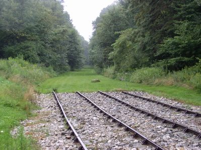 28 mi National Historic SiteAllegheny Portage Railroad National Historic Site163K visitors a year
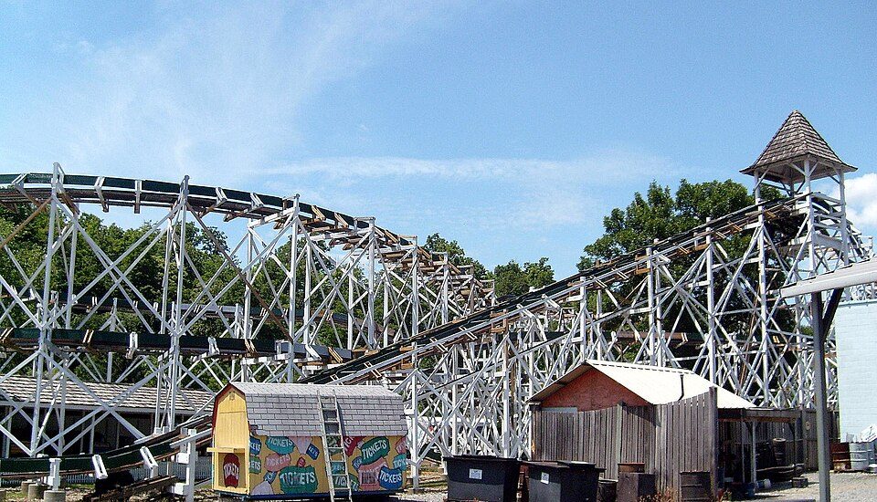 28 mi Theme parkLakemont Park
 34 mi National Historical ParkChesapeake and Ohio Canal National Historical Park4.6M visitors a year
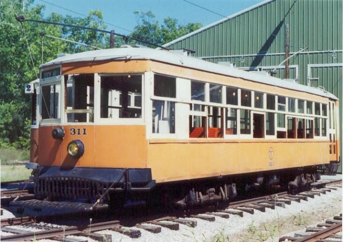 8 mi MuseumRockhill Trolley Museum
Raystown Lake: Tex Jobe, U.S. Army Corps of Engineers, Public domain · Pine Grove Furnace State Park: Zeete, CC BY-SA 4.0 · Allegheny Portage Railroad National Historic Site: Matthew A. Lynn; Original uploader was Mosamiazaz at en.wikipedia, Public domain · Lakemont Park: Bhakta Dano. Original uploader was Oldano at en.wikipedia, Public domain · Chesapeake and Ohio Canal National Historical Park: Bonnachoven, CC0 · Rockhill Trolley Museum: Hicksco2 at English Wikipedia, Public domain
None within 15 miles of Clay Township; the nearest are
About 1 of every 100 Clay Township residents are enrolled in college, against 6 across Pennsylvania.
Where Clay Township’s working residents go each day. Line width shows the share.
Census LEHD 2023
Township in Pennsylvania, US
Clay Township is a township in Huntingdon County, Pennsylvania, United States. The population was 872 at the 2020 census.
From Wikipedia, licensed CC BY-SA 4.0 · facts via Wikidata (CC0)
Short answers, built from the data on this page.
Clay Township has fewer than 1,000 residents, too few for fair grades; the figures below are still real.


