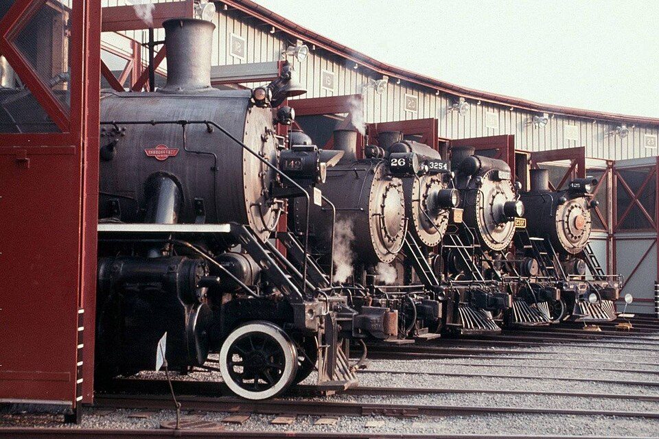
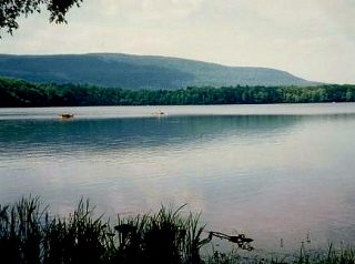
202 years in pictures
Census counts: 2,398 in 1840, a peak of 20,061 in 1930, 8,828 in 2020. The archive holds 18 old photos and papers going back to 1890 and 4 maps from 1892 on.
- 1824Carbondale Township is settled
Each edition grades its towns against each other only.
Carbondale Township’s best subject grades are an A− for schools and the outdoors; its weakest is a D for hazard risk. Only 17 of Pennsylvania’s 1,751 towns score lower on hazard risk. Most errands need a car: it is less walkable than 84% of U.S. towns. 18% of the land in Carbondale Township is conserved, above both Pennsylvania’s towns (8.2%) and U.S. towns (4.3%). Only 78 of Pennsylvania’s 1,717 towns score lower on civic life. The biggest park or preserve is Pinchot State Forest, at 775 acres. Carbondale Township has fewer than 2,500 residents, so it gets subject grades but no overall grade.
Each subject compared with towns across the country (schools within Pennsylvania), ordered by how far Carbondale Township is from typical.
How TownRatings grades towns →
Where Carbondale Township beats most towns, and one thing worth knowing.
Census counts: 2,398 in 1840, a peak of 20,061 in 1930, 8,828 in 2020. The archive holds 18 old photos and papers going back to 1890 and 4 maps from 1892 on.
In a town this size, neighbors are the best guide. Ask them anything.
Ordered by what stands out in Carbondale Township.
The national flood insurance program has paid one claim in Carbondale Township since 2009. 92% of the town’s expected losses from natural hazards come from inland flooding. Expected storm and flood damage is higher than in 89% of U.S. communities.
FEMA flood insurance claims · FEMA National Risk Index · OpenFEMA
In Carbondale Township, the density of trails is 1.4 miles per square mile. Across 4 parks and preserves run 19 miles of trail. Also worth knowing: between them, the parks and preserves give Carbondale Township 1,491 acres of open land.
| Biggest places to walk | Trails | Acres |
|---|---|---|
| 1. Merli-Sarnoski County Park | 2 mi | 284 |
| 2. Pinchot State Forest | — | 775 |
| 3. State Game Lands Number 300 | — | 270 |
Trails & parks © OpenStreetMap contributors · Conserved land: USGS PAD-US
Carbondale Township’s peak summer temperature works out to 81°F.
NOAA U.S. Climate Normals, 1991–2020
The top destinations are Scranton (13%), Carbondale (8%) and Jessup (5%). Only 3% of working residents stay in Carbondale Township for work; the rest commute out. Since 2013, Carbondale Township has lost 224 jobs, to 501 in 2023.
| Carbondale Township | Typical Pennsylvania town | Typical U.S. town | |
|---|---|---|---|
| Working residents who work in town | 2.6% | 6.3% | 8% |
| Median household income | $76,000 | $81,000 | $80,000 |
Census LEHD 2023 · ACS
Adults 35 to 64 are 44% of residents (38% statewide); children under 18 are 15% of residents (21% statewide). Carbondale Township’s midpoint age is 44.5 years. Four-year graduates account for 33% of adults 25 and older here, against 35% across Pennsylvania.
| Carbondale Township | Typical Pennsylvania town | Typical U.S. town | |
|---|---|---|---|
| Under 18 | 15% | 20% | 22% |
| Median age | 44.5 years | 43.2 years | 40.5 years |
| Bachelor’s degree or more, 25+ | 33% | 29% | 29% |
| Aged 65 or older | 20% | 21% | 18% |
46% women, 54% men
About 118 men for every 100 women (the survey’s margin: ±4 points). Across Pennsylvania, 50.7% of residents are women.
| Carbondale Township | PA | U.S. | |
|---|---|---|---|
| Under 10 | 9.1% | 10.8% | 11.6% |
| 10 to 17 | 6.3% | 9.7% | 10.3% |
| 18 to 24 | 7% | 9% | 9.1% |
| 25 to 34 | 14.3% | 13% | 13.7% |
| 35 to 44 | 13.8% | 12.6% | 13.2% |
| 45 to 54 | 16.1% | 11.9% | 12.2% |
| 55 to 64 | 13.6% | 13.6% | 12.7% |
| 65 to 74 | 10.1% | 11.4% | 10.2% |
| 75 and older | 9.7% | 8.1% | 7% |
| No diploma | 7.7% | 7.9% | 10.4% |
| High school | 37.4% | 32.9% | 26% |
| Some college | 12.9% | 15.1% | 19.1% |
| Associate’s | 9% | 8.9% | 8.8% |
| Bachelor’s | 27.5% | 20.9% | 21.6% |
| Graduate | 5.7% | 14.3% | 14.1% |
U.S. Census Bureau · ACS 2020-2024 5-year estimates · in a town of 1,200, single groups can be off by several points
The property offense rate for Carbondale Township is 1.7 per 1,000 residents. Carbondale Township's reported crime rate is well below Pennsylvania's. Most reported incidents are property crimes, mainly thefts. No violent crimes were reported in 2024.
| Carbondale Township | Typical Pennsylvania town | Typical U.S. town | |
|---|---|---|---|
| Property crimes per 1,000 (2024) | 1.7 per 1,000 residents | 6.8 | 11.5 |
| Violent crimes per 1,000 (2024) | 0 per 1,000 residents | 0.8 | 1.7 |
FBI crime data, 2024 · crimes reported to police
15% of adults in Carbondale Township report frequent physical distress; 19% binge drink. In Carbondale Township, 40% of adults sleep under 7 hours.
| Carbondale Township | Typical Pennsylvania town | Typical U.S. town | |
|---|---|---|---|
| Sleep under 7 hours (CDC PLACES) | 40% | 38% | 36% |
| Frequent physical distress (CDC PLACES) | 15% | 14% | 14% |
| Binge drink (CDC PLACES) | 19% | 18% | 16% |
| Depression (CDC PLACES) | 24% | 24% | 23% |
| What stands out | Carbondale Township | PA |
|---|---|---|
| More uninsured adults | 7.4% | 5.8% |
| More adults with COPD | 9.2% | 7.7% |
| More adults with heart disease | 8.5% | 7.4% |
CDC PLACES 2025 · modeled estimates for adults · CMS · HRSA
Museums, parks, gardens and other places to visit around Carbondale Township. Close and well known come first.
17 mi LakeLake Wallenpaupack
13 mi National Historic SiteSteamtown National Historic Site61K visitors a year
39 mi National park siteMiddle Delaware National Scenic River4.1M visitors a year
36 mi Ski areaCamelback Mountain Resort37 runs · 804 ft vertical12 mi Ski areaElk Mountain Ski Resort28 runs · 908 ft vertical17 mi Theme parkRocky Glen ParkLake Wallenpaupack: Doug Kerr from Albany, NY, United States, CC BY-SA 2.0 · Steamtown National Historic Site: National Park Service, Public domain · Middle Delaware National Scenic River: Mike Serfas, Public domain · Camelback Mountain Resort: Calzarette at en.wikipedia, Public domain
Who provides power, water and the rest in Carbondale Township, and how to reach them.
EPA SDWIS (Oct 9, 2026) · HIFLD + EIA-861 2025 · Census 2020 ZCTAs · NCES 2024–25 · registration: vote.gov, updated Nov 18, 2024.
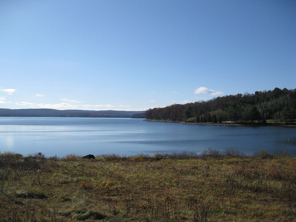
8 within 15 miles of the center of Carbondale Township
About 4 of every 100 Carbondale Township residents are enrolled in college, against 6 across Pennsylvania.
City in Pennsylvania, US
Carbondale is a city in Lackawanna County, Pennsylvania, United States. Carbondale is located approximately 15 miles due northeast of the city of Scranton in Northeastern Pennsylvania. The population was 8,828 at the 2020 census. The land area that became Carbondale was developed by William and Maurice Wurts, the founders of the Delaware and Hudson Canal Company, during the rise of the anthracite coal mining industry in the early 19th century. It was also a major terminal of the Delaware and Hudson Railroad. Carbondale was the site of the first deep vein anthracite coal mine in the United States, and was the site of the Carbondale mine fire which burned from 1946 to the early 1970s. Carbond…
From Wikipedia, licensed CC BY-SA 4.0 · facts via Wikidata (CC0)
Short answers, built from the data on this page.
Cost of living, which also weighs rents, property taxes and how many households pay 30% or more of their income for housing, grades B−.
Ask a question, answer one, post a photo or an event. Free, and the parts only a neighbor would know are the parts worth reading.