Among the early immigrants who settled in the area soon after the close of the Revolutionary War, were a number of north of Ireland families. In 1796, when the settlement of this section of Butler County began, several of these families migrated here, becoming the pioneers of the township. Among those said to have arrived in that year, embracing these north of Ireland families, were a few Germans and a number of native-born Pennsylvanians.
The land was first laid out and surveyed by John Martin in 1837 and was known as Martinsburg, then part of Parker Township. The name was later changed to Bruin. In 1841 Robert Black opened a store near Fletcher's Mill and soon afterward Archibald Martin opened a hotel.
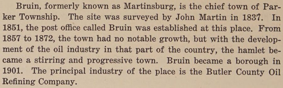
Bruin, formerly known as Martinsburg, is the chief town of Parker Township. The site was surveyed by John Martin in 1837. In 1851, the post office called Bruin was established at this place. From 1857 to 1872, the town had no notable growth, but with the development of the oil industry in that part of the country, the hamlet became a stirring and progressive town. Bruin became a borough in 1901. The principal industry of the place is the Butler County Oil Refining Company.
Text read by machine from the scan; it may contain errors.
History of Butler County Pennsylvania1927 · page 545Read the page →
Read the text
convenience from a lack of grist mills, in many cases long distances having to be traversed in order to have their grain ground, and when Benjamin Fletcher erected his log grist-mill at Martinsburg (now Bruin), he was looked on almost as a public benefactor. Several years later, John Shryock established a mill on Silver Creek, not far from the Washington Township line, and in 1824 William Turner built a grist mill on the north branch of Beaver Creek. Other mills were erected, and manufacturing and milling were important indus-
Text read by machine from the scan; it may contain errors.
Scans and text from the Internet Archive. Books published in 1930 or earlier, which are in the public domain.
Timeline
Bruin, 1850 to 1980
Woven from the archive, old maps, post office records, the National Register and the people born here.
Founding dates: Wikidata, Wikipedia, the U.S. post office records of Blevins & Helbock (CC0) and the Census. Homes by year built: Census ACS 2020–24. National Register of Historic Places: National Park Service (list of May 22, 2026). Old photos, postcards and papers: Wikimedia Commons, the Library of Congress and other public archives, credited on each item’s page. Maps: U.S. Geological Survey historical topographic maps (via Esri) and Sanborn fire-insurance maps (Library of Congress). History text and census tables: Wikipedia (CC BY-SA 4.0). Places that used to be: USGS Geographic Names Information System (2021). How TownRatings grades history →
From Wikimedia Commons (2), the Library of Congress (1), Wikipedia, U.S. Geological Survey historical maps, U.S. Census counts (via Wikipedia), the US Post Offices dataset (Blevins & Helbock), the USGS Geographic Names Information System and old county and town histories (Internet Archive). Archive images are copied here with their credits and licenses, shown on each photo’s page. Refreshed monthly.




 Date?
 2019
 2015


