
Mill Creek at, 2008
Turner’s story
155 years in pictures
Census counts: 85 in 1880, 2,454 in 2020. The archive holds 8 old photos and papers going back to 2004 and 5 maps from 1925 on.
- 1871Turner is settled
Each edition grades its towns against each other only.

A town of 2,412, settled in 1871.
Turner’s best subject grades are an A− for health and a B+ for incomes; its weakest is a D for cost of living. 3.9% of residents live below the poverty line in Turner, where Oregon’s towns sit at 11% and U.S. towns at 9.6%. The biggest park or preserve is Fifth Street Park, at 23 acres. Turner has fewer than 2,500 residents, so it gets subject grades but no overall grade.
1,854 counted in 2010 and 2,454 in 2020; an estimated 2,412 in 2025.
U.S. Census 2010 & 2020 counts · Census Bureau estimate, July 1, 2025
Each subject compared with towns across the country (schools within Oregon), ordered by how far Turner is from typical.
How TownRatings grades towns →
Census counts: 85 in 1880, 2,454 in 2020. The archive holds 8 old photos and papers going back to 2004 and 5 maps from 1925 on.
Museums, parks, gardens and other places to visit around Turner. Close and well known come first.
 3 mi Theme parkEnchanted Forest
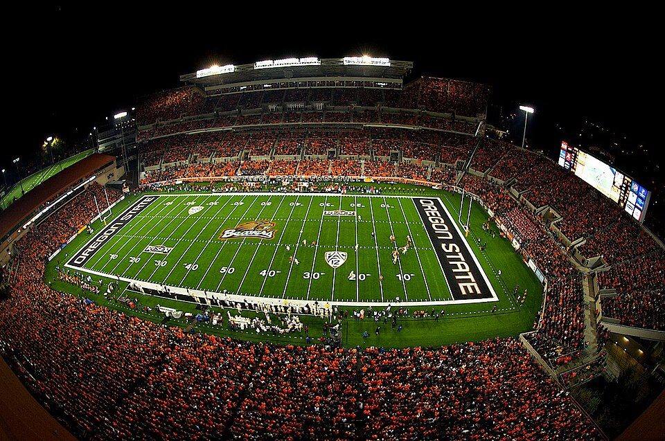 26 mi Stadium & arenaReser Stadium
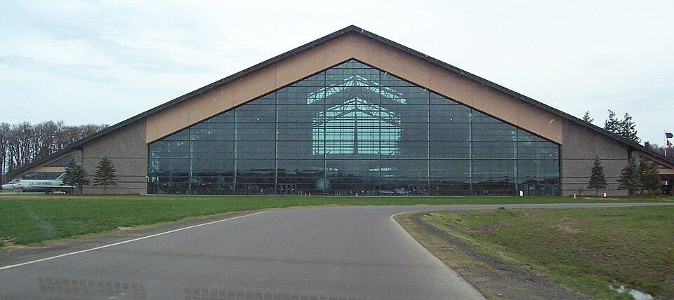 26 mi MuseumEvergreen Aviation & Space Museum
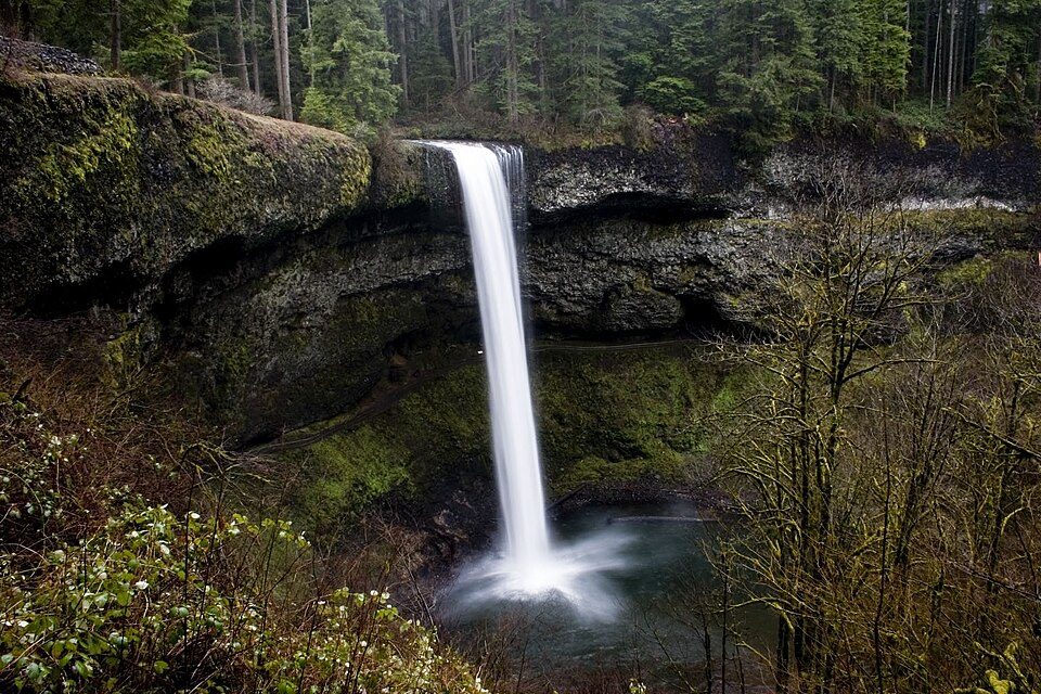 17 mi State parkSilver Falls State Park
 38 mi WaterfallWillamette Falls
 14 mi MuseumOregon Electric Railway Museum
Enchanted Forest: Trashbag (talk), CC BY-SA 3.0 · Reser Stadium: Zapper258, CC BY-SA 3.0 · Evergreen Aviation & Space Museum: Notkeel at English Wikipedia, Public domain · Silver Falls State Park: Kelvin Kay -- Kkmd at English Wikipedia, CC BY-SA 3.0 · Willamette Falls: The original uploader was Cacophony at English Wikipedia., CC BY-SA 3.0 · Oregon Electric Railway Museum: Steve Morgan, CC BY-SA 3.0
Who provides power, water and the rest in Turner, and how to reach them.
EPA SDWIS (Oct 9, 2026) · HIFLD + EIA-861 2025 · Census 2020 ZCTAs · NCES 2024–25 · registration: vote.gov, updated Oct 2, 2026.
Ordered by what stands out in Turner.
Turner beats the Oregon average on 7 of 26 CDC measures and trails it on 1. 16% of adults get no exercise outside work in Turner, below both Oregon’s towns (21%) and U.S. towns (25%). 9.4% of adults smoke cigarettes in Turner.
| Turner | Oregon towns | U.S. towns | |
|---|---|---|---|
| Get no exercise (CDC PLACES) | 16% | 21% | 25% |
| Smoke cigarettes (CDC PLACES) | 9.4% | 13% | 14% |
| Fair or poor health (CDC PLACES) | 15% | 20% | 19% |
| Obesity (CDC PLACES) | 39% | 35% | 35% |
| What stands out | Turner | OR |
|---|---|---|
| Fewer older adults who have lost all their teeth | 5.5% | 12.5% |
| Fewer uninsured adults | 6% | 8.5% |
| More adults with obesity | 39.3% | 33.6% |
CDC PLACES 2025 · modeled estimates for adults · CMS · HRSA
Its public schools are run by Cascade SD 5. Its one school is below.
| School | Level | Students | Letter |
|---|---|---|---|
| Turner Elementary SchoolLargest public elementary schoolGrades K–5 | Grades K–5 | 422 | – |
NCES · EDFacts · graded within OR on state tests and graduation
Most working residents leave Turner for work: only 2% work in town. Jobs based in Turner grew to 559 in 2023, 169 more than in 2013. Turner’s median household income is $102,000.
| Turner | Oregon towns | U.S. towns | |
|---|---|---|---|
| Median household income | $102,000 | $81,000 | $80,000 |
| Working residents who work in town | 1.7% | 9.8% | 8% |
| Average trip to work | 26 minutes | 23 minutes | 25 minutes |
Census LEHD 2023 · ACS
Turner has mild winters and pleasant summers, with plenty of rain. The July high in Turner is 81°F.
NOAA U.S. Climate Normals, 1991–2020
The typical Turner home is worth about $578,000, up 1.9% in a year, 17% above the Oregon typical home. 77% of Turner households own their home.
| Turner | Oregon towns | U.S. towns | |
|---|---|---|---|
| Households that own their home | 77% | 65% | 73% |
| Median rent | $1,380 a month | $1,414 a month | $1,185 a month |
Census ACS, 2020–24 · Zillow Home Value Index · Redfin Data Center
No broad age group is more than 4 points off the Oregon average. 30% of adults 25 and older have a bachelor’s degree or more, vs 37% across Oregon.
| Turner | Oregon towns | U.S. towns | |
|---|---|---|---|
| Median age | 45.4 years | 39.4 years | 40.5 years |
| Under 18 | 18% | 21% | 22% |
| Aged 65 or older | 20% | 18% | 18% |
53% women, 47% men
That’s an even split within the survey’s margin of ±5.2 points. Across Oregon, 50.1% of residents are women.
| Turner | OR | U.S. | |
|---|---|---|---|
| Under 10 | 12.9% | 10.3% | 11.6% |
| 10 to 17 | 4.9% | 9.6% | 10.3% |
| 18 to 24 | 7.5% | 8.5% | 9.1% |
| 25 to 34 | 14.6% | 14% | 13.7% |
| 35 to 44 | 9.4% | 14.1% | 13.2% |
| 45 to 54 | 15.8% | 12.3% | 12.2% |
| 55 to 64 | 15.1% | 12.2% | 12.7% |
| 65 to 74 | 11.1% | 11.5% | 10.2% |
| 75 and older | 8.6% | 7.6% | 7% |
| No diploma | 4.4% | 8.2% | 10.4% |
| High school | 26.6% | 22.4% | 26% |
| Some college | 30.4% | 23.5% | 19.1% |
| Associate’s | 8.9% | 9.1% | 8.8% |
| Bachelor’s | 19% | 22.7% | 21.6% |
| Graduate | 10.7% | 14.1% | 14.1% |
U.S. Census Bureau · ACS 2020-2024 5-year estimates · in a town of 2,400, single groups can be off by several points
Expected storm and flood damage is lower than in 54% of U.S. communities. Since 1996, 21 flood insurance claims have been paid out in Turner.
FEMA flood insurance claims · FEMA National Risk Index · OpenFEMA
| Turner | Oregon towns | U.S. towns | |
|---|---|---|---|
| Conserved land | 1.5% | 4.4% | 4.3% |
| Miles of trail per square mile | 0.6 miles per square mile | 0.8 | 0.4 |
| Biggest places to walk | Trails | Acres |
|---|---|---|
| 1. Fifth Street Park | — | 23 |
| 2. Turner Lake Park | — | 15 |
| 3. Crawford Crossing HOA Park | — | 2 |
Trails & parks © OpenStreetMap contributors · Conserved land: USGS PAD-US
4 within 15 miles of the center of Turner
About 6 of every 100 Turner residents are enrolled in college, about the same as Oregon.
Where Turner’s working residents go each day. Line width shows the share.
Census LEHD 2023
City in Oregon, United States
Turner is a city in Marion County, Oregon, United States. The population was 2,454 at the 2020 census, up from 1,854 in 2010. It is part of the Salem Metropolitan Statistical Area. The community was incorporated by the Oregon Legislative Assembly on February 10, 1905. Since 1971, it has been the location of the Enchanted Forest amusement park.
From Wikipedia, licensed CC BY-SA 4.0 · facts via Wikidata (CC0)
Short answers, built from the data on this page.
Yes. That is 7.3 years of the area's median household income ($78,900 across the Salem, OR metro area). Cost of living, which also weighs rents, property taxes and how many households pay 30% or more of their income for housing, grades D.
2 notable people were born here, including Dean Cromwell and Ryan Thompson.


