
TrentOR
The town was settled in 1875 and has 407 residents today.
Is Trent a good place to live?
46% of residents live below the poverty line in Trent, against 11% in Oregon’s towns and 9.6% across U.S. towns. Of the 143 Oregon towns we compare, none has a lower share of households owning their home than Trent. The biggest park or preserve is Elijah Bristow State Park, at 79 acres. Trent has fewer than 1,000 residents, too few for fair grades; the figures below are still real.
407 people, and everyone knows the way
In a town this size, neighbors are the best guide. Ask them anything.
Autzen Stadium and 10 more within 40 miles
Museums, parks, gardens and other places to visit around Trent. Close and well known come first.
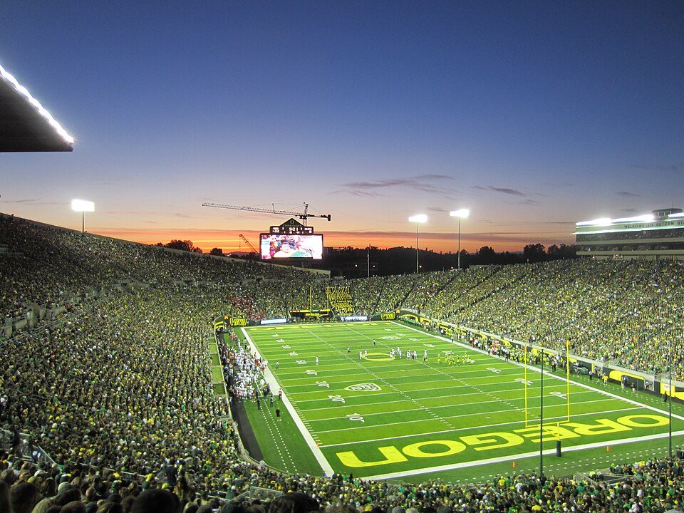 13 mi Stadium & arenaAutzen Stadium
 13 mi Stadium & arenaHayward Field
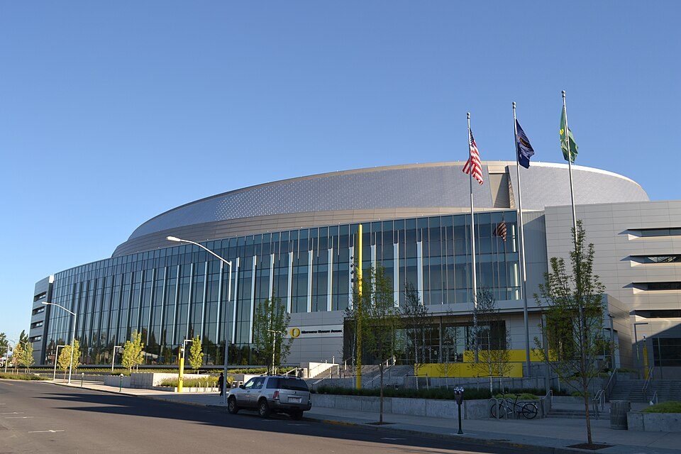 13 mi Stadium & arenaMatthew Knight Arena
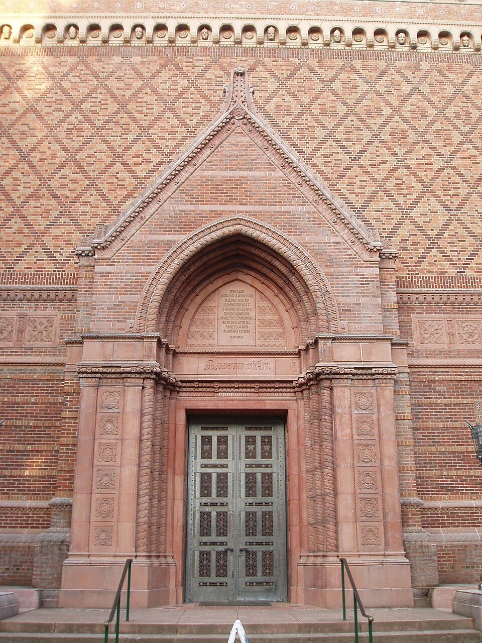 13 mi MuseumJordan Schnitzer Museum of Art
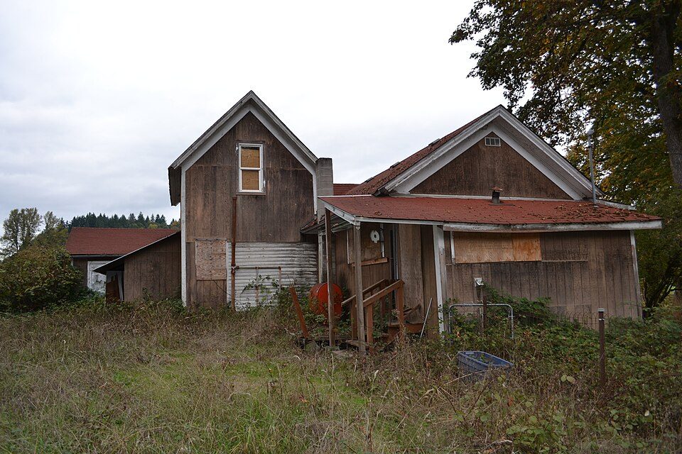 10 mi City parkDorris Ranch Living History Farm
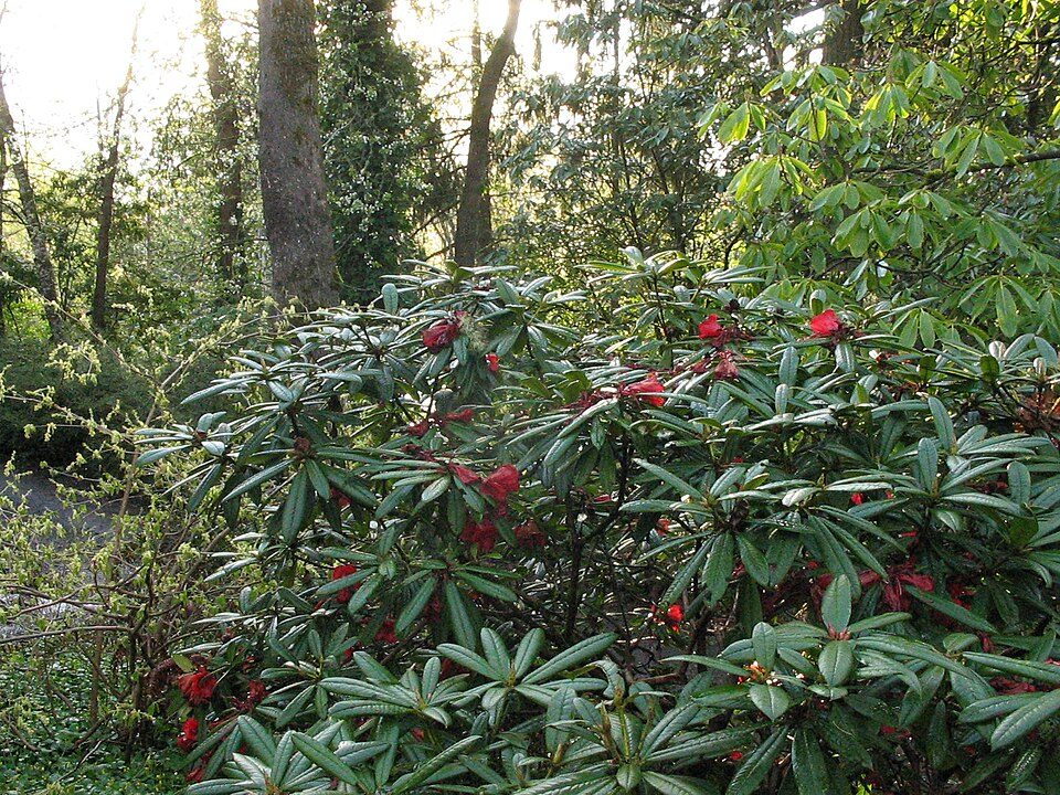 12 mi City parkHendricks Park
Photo credits
Autzen Stadium: Another Believer, CC BY-SA 3.0 · Hayward Field: Jsayre64, CC BY-SA 3.0 · Matthew Knight Arena: Visitor7, CC BY-SA 3.0 · Jordan Schnitzer Museum of Art: User:Akendall, CC BY-SA 3.0 · Dorris Ranch Living History Farm: Visitor7, CC BY-SA 3.0 · Hendricks Park: Chris Phan, CC BY-SA 2.0


Moving to Trent: who provides what
Trent is unincorporated, so Lane County and regional agencies provide most services.
EPA SDWIS (Oct 9, 2026) · HIFLD + EIA-861 2025 · Census 2020 ZCTAs · NCES 2024–25 · registration: vote.gov, updated Oct 2, 2026.
The data
Ordered by what stands out in Trent.
Trent has a very high natural-hazard risk, chiefly from inland flooding
The risk rating from FEMA for Trent comes to 87 of 100. Of the losses FEMA expects here, 88% come from inland flooding and 9% from earthquakes.
FEMA National Risk Index · OpenFEMA
Most of Trent’s workers head elsewhere: there are 0.2 jobs for each of them
For half of commuters, work is under 15 miles away. The top destinations are Eugene (26%), Springfield (15%) and Lowell (5%). Trent’s typical journey to work comes in at 23 minutes.
Where working residents work
Census LEHD 2023 · ACS
Expect mild winters and pleasant summers in Trent
July afternoons reach 82°, January nights drop to 36° and snow is almost unheard of.
Typical low → high °F
NOAA U.S. Climate Normals, 1991–2020
15% of Trent is conserved land
Trails total 0.2 miles in 1 park or preserve. In Trent, the trail network density is 0.1 miles per square mile.
| Biggest places to walk | Trails | Acres |
|---|---|---|
| 1. Elijah Bristow State Park | — | 79 |
Trails & parks © OpenStreetMap contributors · Conserved land: USGS PAD-US
How healthy Trent is
Trent: 38% of adults have high blood pressure. Nearly three quarters of adults here had a checkup this year; 16% report frequent physical distress.
| Trent | Oregon towns | U.S. towns | |
|---|---|---|---|
| High blood pressure (CDC PLACES) | 38% | 33% | 35% |
| Yearly checkup (CDC PLACES) | 74% | 72% | 79% |
| Frequent physical distress (CDC PLACES) | 16% | 15% | 14% |
| Binge drink (CDC PLACES) | 14% | 15% | 16% |
| What stands out | Trent | OR |
|---|---|---|
| More adults with COPD | 9.1% | 6.8% |
| More adults who have had a stroke | 4.2% | 3.3% |
| More adults with arthritis | 33.9% | 27.4% |
CDC PLACES 2025 · modeled estimates for adults · CMS · HRSA
Census ACS, 2020–24 · Zillow Home Value Index · Redfin Data Center
Everything we know about Trent
Colleges nearby
3 within 15 miles of the center of Trent
About 0 of every 100 Trent residents are enrolled in college, against 6 across Oregon.
100% of working residents leave Trent for work
Where Trent’s working residents go each day. Line width shows the share.
Census LEHD 2023
About Trent
Census-designated place in Oregon, United States
Trent is an unincorporated community and census-designated place (CDP) in Lane County, Oregon, United States. It was first listed as a CDP prior to the 2020 census. As of the 2020 census, Trent had a population of 339. The CDP is in central Lane County, along Rattlesnake Creek, a north-flowing tributary of the Middle Fork Willamette River. The Middle Fork forms the northeast boundary of the CDP. Oregon Route 58 runs through the southern part of Trent, leading northwest 14 miles (23 km) to Eugene, the county seat. To the southeast, Route 58 immediately passes through Dexter and leads 27 miles (43 km) to Oakridge.
From Wikipedia, licensed CC BY-SA 4.0 · facts via Wikidata (CC0)
- Area
- 1.6 sq mi
- Elevation
- 614 ft
Questions about Trent
Short answers, built from the data on this page.
Is Trent, OR a good place to live?
Trent has fewer than 1,000 residents, too few for fair grades; the figures below are still real.