Guest, Sign inJoin

Post to Sheridan

We’ll email a one-tap link to publish your post. No password, and nothing is public until you click it.
Already a member? Sign in
Sheridan Oregon hill
Oregon›Yamhill County

SheridanOR

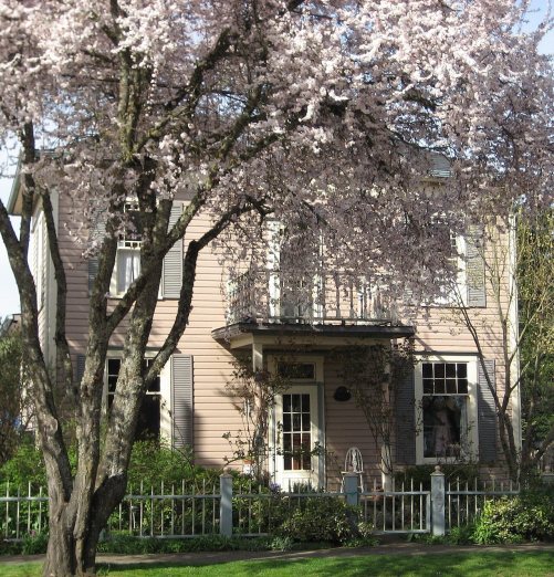
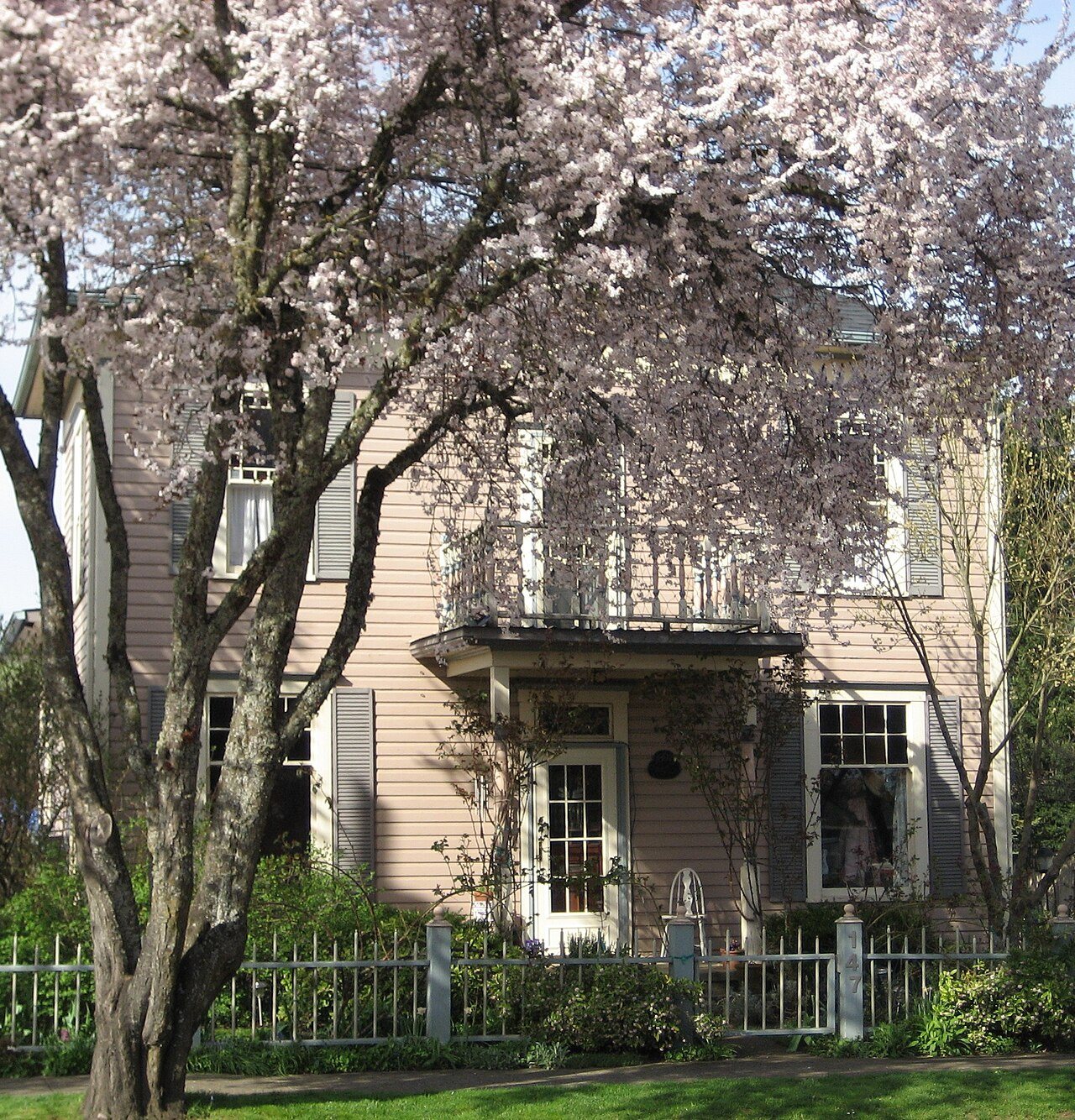
Photo: M.O. Stevens · CC BY-SA 3.0
Photo of Sheridan

Sheridan, OR · Photo: M.O. Stevens · CC BY-SA 3.0 · Source ↗

Is Sheridan a good place to live?

Sheridan is a solid, middle-of-the-road choice. It grades C− overall, 77th of 142 graded towns in Oregon, with no subject far below average. Its best mark is cost of living: a typical home costs about $398K, 4.1 years of the Portland metro’s $97K median household income. Its lowest everyday mark is in incomes: the median household income is $71K, and 12% of residents live below the poverty line. Sheridan is more walkable than 94% of U.S. towns. Sheridan’s trail network density is 0.1 miles per square mile, below both Oregon’s towns (0.8) and U.S. towns (0.4). Only 21 of Oregon’s 228 towns score lower on the outdoors.

What makes Sheridan stand out

Where Sheridan beats most towns, and one thing worth knowing.

A shrinking town

Sheridan has shrunk 27% since 2010

6,127 counted in 2010 and 4,639 in 2020; an estimated 6,243 in 2025.

6,1272010
4,6392020
6,2432025 est.

U.S. Census 2010 & 2020 counts · Census Bureau estimate, July 1, 2025

How Sheridan grades

Each subject compared with towns across the country (schools within Oregon), ordered by how far Sheridan is from typical.

How grading works
Character Graded, but not part of the overall grade.
Described, not graded Taste, not quality: snow or an older crowd is neither good nor bad.

How TownRatings grades towns →

Travelers Home
Travelers Home · National Register of Historic Places
Sheridan’s story

160 years in pictures

Census counts: 196 in 1880, 4,639 in 2020. The archive holds 13 old photos and papers going back to 2004 and 3 maps from 1942 on.

1 place on the National Register of Historic Places.

  • 1866Sheridan is settled
Explore the history →
Getting set up

Moving to Sheridan: who provides what

Who provides power, water and the rest in Sheridan, and how to reach them.

The full setup list →
PowerPortland General Electric18.8¢/kWh · EIA 2025HIFLD · EIA
WaterCity of Sheridan water systemNo health-based violations in 5 years · EPAEPA
Internet8 providers100% of addresses get 100/20 MbpsFCC
Trash & dumpNot on file yetWe don’t have Sheridan’s trash rules yet
SchoolsSheridan School District 48JWhich school depends on your addressNCES
Register to voteOnlineIn Oregon you can register online until 21 days before Election Day, in person until 21 days before Election Day, or by mail (postmarked 21 days before).vote.gov
Who runs elections hereYamhill County Clerk, Elections OfficeYamhill County; contacts on the Handbook page.FVAP, Jun 2025
ZIP code9737897378 100%Census 2020

EPA SDWIS (Oct 9, 2026) · HIFLD + EIA-861 2025 · Census 2020 ZCTAs · NCES 2024–25 · registration: vote.gov, updated Oct 2, 2026.

The data

Ordered by what stands out in Sheridan.

Natural hazardsHazard risk grade D

Sheridan faces a very high natural-hazard risk, led by inland flooding

Federal disaster aid has reached households in Sheridan after 3 declared disasters, most recently in 2025. Expected damage from storms and floods is higher here than in 89% of U.S. communities. Paid flood insurance claims here since 1982: 45. 48% of the town’s expected losses from natural hazards come from inland flooding, followed by earthquakes at 47%.

89risk score of 100
FEMA risk score
89Very high riskLowerHigher
Inland floodingEarthquakes
45
paid flood claims since 1982
3
federal disasters paid out here

FEMA disaster declarations and aid · FEMA National Risk Index · OpenFEMA

SchoolsC

Sheridan’s schools rank behind 71% of Oregon districts

The largest public high school is Sheridan AllPrep Academy, with 356 students. Sheridan SD 48J runs its public schools. Two of its 3 schools are below, each with the reason it’s listed.

29%of OR districts it outscoresCSchool Grade
SchoolLevelStudentsLetter
Faulconer-Chapman SchoolLargest public elementary schoolGrades K–8Grades K–8515–
Sheridan High SchoolLargest public high schoolGrades 9–12Grades 9–12211–

NCES · EDFacts · graded within OR on state tests and graduation

Work & commuteJobs & income grade C−

Most of Sheridan’s workers head elsewhere: there are 0.3 jobs for each of them

Jobs based here fell from 999 in 2013 to 762.

Half commute less than 21 miles. In Sheridan, the average commute is 28 minutes. Just 5% of the town’s working residents have a job in town. Also worth knowing: this Oregon town had 762 jobs in 2023, down 237 from 2013.

5%work in town
SheridanOregon townsU.S. towns
Average trip to work28 minutes23 minutes25 minutes
Working residents who work in town5.3%10%8%
Median household income$71,000$81,000$80,000

Where working residents work

In Sheridan5%
McMinnville17%
Portland9%
Grand Ronde8%
Salem7%
21 mi
median commute distance
762
jobs based in Sheridan
A commuter town
jobs vs. working residents
A
Walkability grade: more walkable than 94% of U.S. towns

Census LEHD 2023 · ACS

Climate

Sheridan has mild winters and pleasant summers

July afternoons reach 82°, January nights drop to 36° and about 2 inches of snow falls in a winter.

2″snow a winter

Typical low → high °F

Winter36–48°
Spring41–61°
Summer51–79°
Fall44–64°
Nov 1
typical first frost
Apr 16
typical last frost
+1.1°
vs. the 20th-century average

NOAA U.S. Climate Normals, 1991–2020

HousingCost of living grade B−

Sheridan’s grade for cost of living is a B−

Homes in Sheridan are typically worth about $398,000, about the same as a year ago, 19% below the Oregon typical home. 61% of Sheridan households own their home, near the Oregon town median (65%) and below the median of U.S. towns (73%). In Sheridan, the median rent is $1,220 a month.

$398KZillow home value
SheridanOregon townsU.S. towns
Households that own their home61%65%73%
Median rent$1,220 a month$1,415 a month$1,185 a month

Typical home value

Sheridan$398K
Oregon$493K
−0.4%
value change, 1 year
4
homes sold in May

Census ACS, 2020–24 · Zillow Home Value Index · Redfin Data Center

HealthC+

Health in Sheridan trails 58% of U.S. towns

Among adults in Sheridan, 19% report frequent mental distress. The share of adults in Sheridan who had a checkup this year: 72%.

42%healthier than U.S. townsC+Health Grade
SheridanOregon townsU.S. towns
Yearly checkup (CDC PLACES)72%73%79%
Obesity (CDC PLACES)39%35%35%
Frequent mental distress (CDC PLACES)19%18%17%
Frequent physical distress (CDC PLACES)15%15%14%
26 measures vs. Oregon
0 better25 too close to call1 worse
What stands outSheridanOR
Fewer adults seeing a dentist57.5%64.7%
Willamette Valley Medical Center
9.8 mi away · emergency room
3 of 3
care shortages: primary care, dental, mental health
30th
percentile among OR towns

CDC PLACES 2025 · modeled estimates for adults · CMS · HRSA

OutdoorsC−

Sheridan keeps 0.9% of its land conserved

Sheridan has one park or preserve, 5 acres in all.

0.9%conserved
0.9%
conserved · 12 of 1,372 acres
0.1 mi
of trails · 0 per sq mi
Biggest places to walkTrailsAcres
1. Sheridan City Park—5

Trails & parks © OpenStreetMap contributors · Conserved land: USGS PAD-US

Keep exploring

Everything we know about Sheridan

18pages on Sheridan
After high school

Colleges nearby

1 within 15 miles of the center of Sheridan

A commuter town

95% of working residents leave Sheridan for work

Where Sheridan’s working residents go each day. Line width shows the share.

17% → McMinnville McMinnville 17% 9% → Portland Portland 9% 8% → Grand Ronde Grand Ronde 8% 7% → Salem Salem 7% 4% → Newberg Newberg 4% 3% → Hillsboro Hillsboro 3% Sheridan · 5% stay
762jobs based in Sheridan
5%of working residents work in town
21 mimedian commute distance

Census LEHD 2023

About Sheridan

City in Oregon, United States

Official town website ↗

Sheridan is a city in Yamhill County, Oregon, United States. Platted in the 1860s when it received a post office, Sheridan was incorporated in 1880. In 1913, much of the town burned in a fire and a flood covered much of the community in 1964. The population of Sheridan as of the 2020 census was 4,639. Located in the western part of the Willamette Valley, Sheridan is at the base of the Northern Oregon Coast Range along the South Yamhill River. Sheridan lies around 13 miles southwest of the county seat of McMinnville, along Oregon Route 18. This highway and Oregon Route 18 Business run east–west through Sheridan and nearby Willamina, parallel to the river. Sheridan Bridge is the only river cr…

From Wikipedia, licensed CC BY-SA 4.0 · facts via Wikidata (CC0)

Area
2.0 sq mi
Elevation
189 ft
ZIP code
97378
Area code
503, 971

Questions about Sheridan

Short answers, built from the data on this page.

Is Sheridan, OR a good place to live?

Sheridan grades C− overall, better than 24% of U.S. towns and #77 of 142 in Oregon. It grades C+ for health and C for schools. Hazard risk is its weak spot, with a D.

Is Sheridan, OR expensive?

Cost of living, which also weighs rents, property taxes and how many households pay 30% or more of their income for housing, grades B−.