
Wallace and Glenn Potter House · National Register of Historic Places
River Road’s story
River Road in pictures
The archive holds 4 maps from 1910 on.
1 place on the National Register of Historic Places.
Explore the history →Each edition grades its towns against each other only.
A town in Oregon, home to 8,862 people.
River Road’s overall grade, C, puts it better than 31% of U.S. towns. In the ranking it comes 71st of 142 in Oregon. Cost of living is its weak spot (D): the typical home is worth about $398K, 5.6 years of the Eugene metro’s $72K median household income. It also trails on hazard risk — FEMA rates its natural-hazard risk higher than 90% of U.S. communities, with inland flooding at the top. Its strongest is walkability: it is easier to get around on foot or by transit than 89% of U.S. towns. Schools are a strength too: its schools rank ahead of 74% of Oregon towns. The town’s trail density is 0.1 miles per square mile, against 0.8 in Oregon’s towns and 0.4 across U.S. towns. Wallace and Glenn Potter House is on the National Register of Historic Places.
Figures: schools, state test and graduation results · home values, Zillow · incomes, Census ACS, 2020–24 · FEMA National Risk Index · OpenStreetMap · National Register of Historic Places.
Where River Road beats most towns, and one thing worth knowing.
Where River Road’s working residents go each day. Line width shows the share.
Census LEHD 2023
Each subject compared with towns across the country (schools within Oregon), ordered by how far River Road is from typical.
How TownRatings grades towns →
The archive holds 4 maps from 1910 on.
1 place on the National Register of Historic Places.
Explore the history →Museums, parks, gardens and other places to visit around River Road. Close and well known come first.
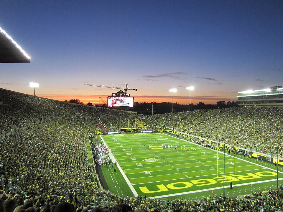 4 mi Stadium & arenaAutzen Stadium
 4 mi Stadium & arenaHayward Field
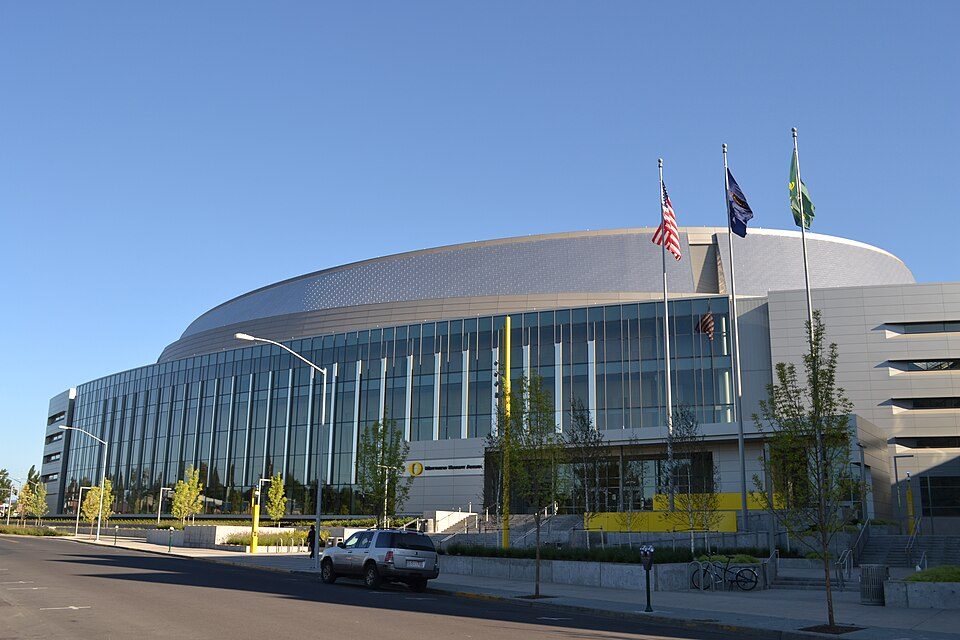 4 mi Stadium & arenaMatthew Knight Arena
 34 mi Stadium & arenaReser Stadium
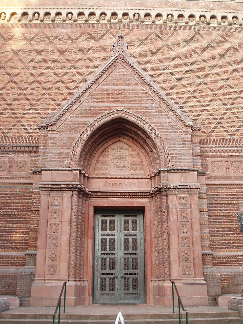 4 mi MuseumJordan Schnitzer Museum of Art
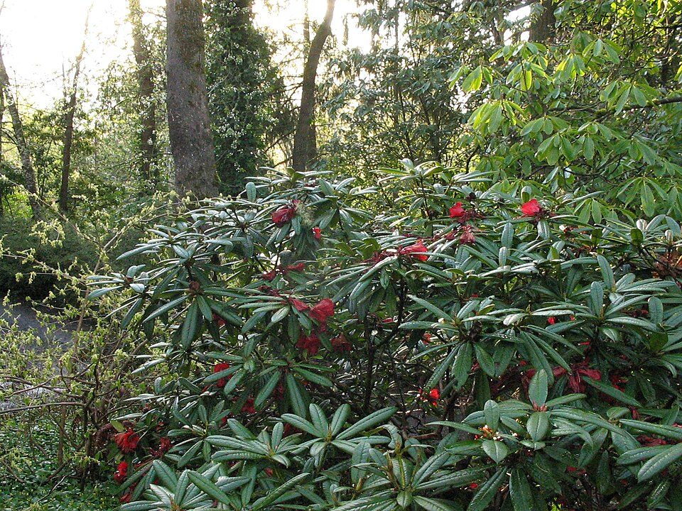 5 mi City parkHendricks Park
Autzen Stadium: Another Believer, CC BY-SA 3.0 · Hayward Field: Jsayre64, CC BY-SA 3.0 · Matthew Knight Arena: Visitor7, CC BY-SA 3.0 · Reser Stadium: Zapper258, CC BY-SA 3.0 · Jordan Schnitzer Museum of Art: User:Akendall, CC BY-SA 3.0 · Hendricks Park: Chris Phan, CC BY-SA 2.0
River Road is unincorporated, so Lane County and regional agencies provide most services.
EPA SDWIS (Oct 9, 2026) · HIFLD + EIA-861 2025 · Census 2020 ZCTAs · NCES 2024–25 · registration: vote.gov, updated Oct 2, 2026.
Ordered by what stands out in River Road.
Among 142 Oregon towns, just 8 have a higher FEMA hazard score than River Road. Expected losses in River Road break down as 68% from inland flooding and 29% from earthquakes.
FEMA National Risk Index · OpenFEMA
River Road has 587 jobs for its 3,398 working residents: even if every job went to a resident, most would still commute out.
Half of commuters travel less than 4 miles. In River Road, the mean commuting time is 19 minutes. Just 2% of the town’s working residents have a job in town. For residents locally, the share who live below the poverty line is 15%.
| River Road | Oregon towns | U.S. towns | |
|---|---|---|---|
| Average trip to work | 19 minutes | 23 minutes | 25 minutes |
| Working residents who work in town | 1.5% | 10% | 8% |
| Below the poverty line | 15% | 11% | 9.6% |
| Work from home | 14% | 14% | 11% |
Census LEHD 2023 · ACS
In July, afternoons reach 83°; in January, nights fall to 35°, and about 3 inches of snow falls in a winter.
NOAA U.S. Climate Normals, 1991–2020
No age group stands out against Oregon: all are within 4 points. The share of adults 25 and older in River Road who hold a bachelor’s degree or more: 34%. In River Road, the median age is 39.3 years.
| River Road | Oregon towns | U.S. towns | |
|---|---|---|---|
| Bachelor’s degree or more, 25+ | 34% | 27% | 29% |
| Under 18 | 20% | 21% | 22% |
52% women, 48% men
That’s an even split within the survey’s margin of ±3.9 points. Across Oregon, 50.1% of residents are women.
| River Road | OR | U.S. | |
|---|---|---|---|
| Under 10 | 11.6% | 10.3% | 11.6% |
| 10 to 17 | 8.4% | 9.6% | 10.3% |
| 18 to 24 | 10% | 8.5% | 9.1% |
| 25 to 34 | 10.9% | 14% | 13.7% |
| 35 to 44 | 19.2% | 14.1% | 13.2% |
| 45 to 54 | 10.5% | 12.3% | 12.2% |
| 55 to 64 | 11.2% | 12.2% | 12.7% |
| 65 to 74 | 13.3% | 11.5% | 10.2% |
| 75 and older | 4.9% | 7.6% | 7% |
| No diploma | 8.9% | 8.2% | 10.4% |
| High school | 23.2% | 22.4% | 26% |
| Some college | 24.1% | 23.5% | 19.1% |
| Associate’s | 10.1% | 9.1% | 8.8% |
| Bachelor’s | 19% | 22.7% | 21.6% |
| Graduate | 14.7% | 14.1% | 14.1% |
U.S. Census Bureau · ACS 2020-2024 5-year estimates
72% of adults had a checkup this year in River Road. In River Road, 28% of adults have been diagnosed with depression, and 31% sleep under 7 hours.
| River Road | Oregon towns | U.S. towns | |
|---|---|---|---|
| Yearly checkup (CDC PLACES) | 72% | 73% | 79% |
| Depression (CDC PLACES) | 28% | 27% | 23% |
| Sleep under 7 hours (CDC PLACES) | 31% | 32% | 36% |
| Frequent mental distress (CDC PLACES) | 19% | 18% | 17% |
| What stands out | River Road | OR |
|---|---|---|
| More adults with COPD | 8.2% | 6.8% |
| More adults with arthritis | 30.6% | 27.4% |
CDC PLACES 2025 · modeled estimates for adults · CMS · HRSA
Only 6 of the 140 Oregon towns we compare have a lower trail density than River Road. One park or preserve covers 9 acres here.
| River Road | Oregon towns | U.S. towns | |
|---|---|---|---|
| Miles of trail per square mile | 0.1 miles per square mile | 0.8 | 0.4 |
| Conserved land | 1% | 4.4% | 4.3% |
| Biggest places to walk | Trails | Acres |
|---|---|---|
| 1. Emerald Park | — | 9 |
Trails & parks © OpenStreetMap contributors · Conserved land: USGS PAD-US
River Road’s median rent stands at $1,633 a month. A home in River Road typically sold within 15 days of listing. In River Road, 32% of sales closed above the list price.
| River Road | Oregon towns | U.S. towns | |
|---|---|---|---|
| Median rent | $1,633 a month | $1,413 a month | $1,185 a month |
| Households that own their home | 67% | 65% | 73% |
Census ACS, 2020–24 · Zillow Home Value Index · Redfin Data Center
4 within 15 miles of the center of River Road
About 4 of every 100 River Road residents are enrolled in college, against 6 across Oregon.
Census-designated place in Oregon, United States
River Road is a census-designated place (CDP) and neighborhood in Eugene. Located in Lane County, Oregon, United States. It was first listed as a CDP prior to the 2020 census. As of the 2020 census, River Road had a population of 8,732. The CDP is in north-central Lane County, on the northwest side of Eugene. It extends from the junction of River Road and the Northwest Expressway in the south to Oregon Route 569, the Randy Papé Beltline, in the north. River Road and the Northwest Expressway form the eastern and western boundaries of the CDP, respectively. Numerous outlying areas belonging to the city of Eugene are scattered throughout the CDP, which is otherwise unincorporated.
From Wikipedia, licensed CC BY-SA 4.0 · facts via Wikidata (CC0)
2 towns share a border with River Road.
| Town | OR rank | Overall | Cost | Safety | Schools | Health |
|---|---|---|---|---|---|---|
| River Road | #71 | C | D | — | B+ | B− |
| Eugene | #89 | C− | D− | D | B+ | B+ |
| Santa Clara | #35 | B | D | — | B+ | B+ |
River Road and Santa Clara report no FBI crime data of their own. Compare River Road with a neighbor →
Short answers, built from the data on this page.
River Road grades C overall, better than 31% of U.S. towns and #71 of 142 in Oregon. It grades B− for health and B+ for schools. Hazard risk is its weak spot, with a D.
Yes. The typical home is worth about $398,000, 19% below the Oregon typical home. Cost of living, which also weighs rents, property taxes and how many households pay 30% or more of their income for housing, grades D.


