James Arthur Manning State Fish Hatchery
Park
63 acres1.5 mi of trail
Dog rules not recorded
No trailhead mapped yet
Each edition grades its towns against each other only.
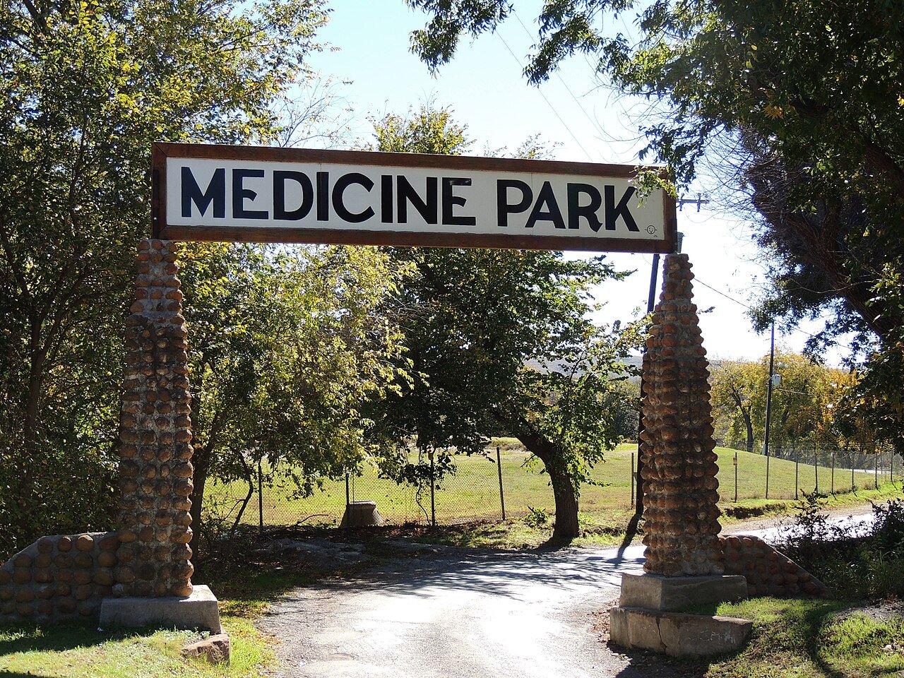 Photo: Jphill19 · CC BY-SA 3.0
The biggest trail networks: James Arthur Manning State Fish Hatchery (1.5 mi). 68 acres are parks and preserves, 162 per 1,000 residents. 3.5 miles of mapped trail cross Medicine Park, 1.6 per square mile of land.
Tap a number to zoom to a park. Tap a layer to hide it.
The longest trail network is James Arthur Manning State Fish Hatchery, with 1.5 miles. Directions go to the nearest trailhead or public parking.
Beaches, playgrounds, peaks, falls and more. Pick a kind.
Bike lanes are often missing from the map in smaller towns, so that number is likely low.
The country’s official list of places worth saving (National Park Service).
NOAA’s 1991–2020 normals for the town and the daylight at its latitude. Outlined months have long days, highs of 59 to 86 °F and little rain for the place.
| Jan | Feb | Mar | Apr | May | Jun | Jul | Aug | Sep | Oct | Nov | Dec | |
|---|---|---|---|---|---|---|---|---|---|---|---|---|
| Daylight (h) | 10.1 | 10.9 | 11.9 | 13.0 | 14.0 | 14.5 | 14.3 | 13.4 | 12.3 | 11.2 | 10.3 | 9.8 |
| High (°F) | 52 | 56 | 65 | 73 | 82 | 90 | 95 | 95 | 86 | 75 | 62 | 52 |
| Rain (in) | 1.2 | 1.4 | 2.4 | 3.2 | 4.6 | 4.0 | 2.6 | 3.0 | 3.1 | 2.9 | 1.9 | 1.7 |
January is the driest month (1.2 in) and July the warmest (highs of 95 °F). 4.6 inches fall in May, the wettest month. Summer highs reach 95 °F, too hot for the outline. The climate in Medicine Park →
The longest trail networks: James Arthur Manning State Fish Hatchery, 1.5 miles. Each one is on the map above, with directions to the nearest trailhead or parking.
James Arthur Manning State Fish Hatchery and Wichita Mountains National Wildlife Refuge don’t have dog rules recorded on the map; check the signs at the trailhead.
3.7 miles of bike routes are on the map: 3.6 of off-road paths and 0.1 of shoulders and shared lanes.
1,673 acres of parks and open public land lie inside Medicine Park or within 10 miles of it (PAD-US), 68 of them inside the town line.
Conditions, parking and favorite walks from Medicine Park neighbors.
Conserved and public land: USGS Protected Areas Database of the United States (PAD-US), service updated July 2026. Parks, trails, playgrounds, beaches and other places: OpenStreetMap (© OpenStreetMap contributors, ODbL), map data as of 2026-10-28. Land and water area: Census 2025 Gazetteer. Residents near a park: 2020 Census blocks. National Register: National Park Service. How TownRatings grades the outdoors →