In 1889, coal deposits discovered in the area that would become southern Haskell County attracted some European miners and American entrepreneurs. They established a community called Panther, which was renamed in 1902 to honor Choctaw Principal Chief Green McCurtain. Another mining town, Chant, was established nearby, and the two began to grow together. McCurtain and Chant prospered after the Fort Smith and Western Railroad connected McCurtain with Fort Smith, Arkansas in 1901. The railroad was built westward until it reached the Canadian River in 1902. The San Bois Coal Company built four hundred company houses for miners living in McCurtain and Chant. By 1907 statehood the combined population of the two communities was 1,760.
Nothing in the archives for these yearsWeddings on Main Street, storms, parades, school pictures, the old store. If it’s in your family album, it belongs here.
Founding dates: Wikidata, Wikipedia, the U.S. post office records of Blevins & Helbock (CC0) and the Census. Homes by year built: Census ACS 2020–24. National Register of Historic Places: National Park Service (list of May 22, 2026). Old photos, postcards and papers: Wikimedia Commons, the Library of Congress and other public archives, credited on each item’s page. Maps: U.S. Geological Survey historical topographic maps (via Esri) and Sanborn fire-insurance maps (Library of Congress). History text and census tables: Wikipedia (CC BY-SA 4.0). Places that used to be: USGS Geographic Names Information System (2021). How TownRatings grades history →
From Wikimedia Commons (6), the Library of Congress (2), Wikipedia, U.S. Geological Survey historical maps, U.S. Census counts (via Wikipedia), the US Post Offices dataset (Blevins & Helbock) and the USGS Geographic Names Information System. Archive images are copied here with their credits and licenses, shown on each photo’s page. Refreshed monthly.


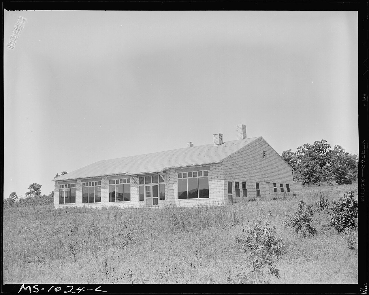


 1911
 1946
 1946
 1946
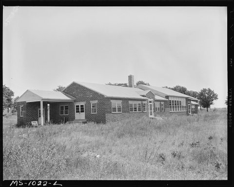 1946


