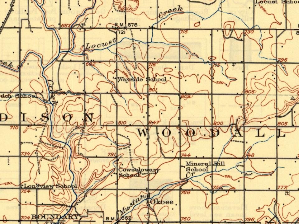
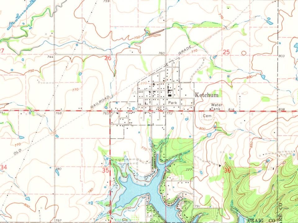
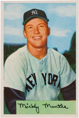
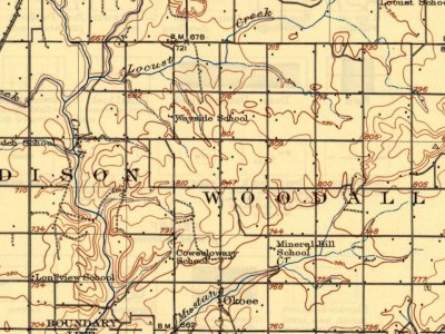
Most of Ketchum was built recently: 6% of its homes predate 1940 and the median home dates from 1988. Below: 1 old photo or paper, maps from 1913 on, and the census since 1940.
The town was named for James Ketchum, a Delaware Indian and Methodist minister who had relocated to Indian Territory in 1867 from Wyandotte County, Kansas. The Post Office Department established the post office on September 15, 1899, at the original townsite. Ketchum was originally located in northeastern Mayes County, on the bank of the Grand River (Neosho River). It was relocated to southeastern Craig County around 1912 when the Missouri, Oklahoma and Gulf Railroad — which became the Kansas, Oklahoma and Gulf Railway (KO&G) in 1919 — was being constructed from southeastern Kansas south through the region. New Ketchum was platted in late 1912. The original townsite sat in an area that was later filled in by the creation of Grand Lake o' the Cherokees.
Founding dates: Wikidata, Wikipedia, the U.S. post office records of Blevins & Helbock (CC0) and the Census. Homes by year built: Census ACS 2020–24. National Register of Historic Places: National Park Service (list of May 22, 2026). Old photos, postcards and papers: Wikimedia Commons, the Library of Congress and other public archives, credited on each item’s page. Maps: U.S. Geological Survey historical topographic maps (via Esri) and Sanborn fire-insurance maps (Library of Congress). History text and census tables: Wikipedia (CC BY-SA 4.0). Places that used to be: USGS Geographic Names Information System (2021). How TownRatings grades history →
From Wikimedia Commons (6), Wikipedia, U.S. Geological Survey historical maps, U.S. Census counts (via Wikipedia), the US Post Offices dataset (Blevins & Helbock) and the USGS Geographic Names Information System. Archive images are copied here with their credits and licenses, shown on each photo’s page. Refreshed monthly.

 2026
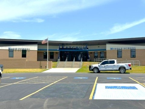 2026
 2026
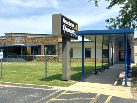 2026
 2004