The Big Pasture, approximately 480,000 acres (1,900 km2) bounded on the south by the Red River and presently located in parts of Comanche, Cotton, and Tillman counties, was the last settled territory in Oklahoma. Native control of the land traces to the Quapaw, who ceded it to the United States in 1818. The Choctaw and Chickasaw accepted the area in the 1820s and 1830s but lost it as a result of the Reconstruction Treaty of 1866. By the terms of the Medicine Lodge Treaty of 1867 a reservation that included the Big Pasture was set-aside for the Kiowa, Comanche, and Apache. The land became part of Oklahoma Territory in December 1906.
Nothing in the archives for these yearsWeddings on Main Street, storms, parades, school pictures, the old store. If it’s in your family album, it belongs here.
The Grandfield post office opened in 1909, the earliest record of the town by name (U.S. post office records).
What is on the National Register in Grandfield?
5 listings: 4 buildings, among them the William and Mabel Donahoo Hubbard House (listed 1991, the first), and 1 historic district, the Grandfield Downtown Historic District, with 22 contributing buildings. 26 historic buildings in all.
Founding dates: Wikidata, Wikipedia, the U.S. post office records of Blevins & Helbock (CC0) and the Census. Homes by year built: Census ACS 2020–24. National Register of Historic Places: National Park Service (list of May 22, 2026). Old photos, postcards and papers: Wikimedia Commons, the Library of Congress and other public archives, credited on each item’s page. Maps: U.S. Geological Survey historical topographic maps (via Esri) and Sanborn fire-insurance maps (Library of Congress). History text and census tables: Wikipedia (CC BY-SA 4.0). Places that used to be: USGS Geographic Names Information System (2021). How TownRatings grades history →
From Wikimedia Commons (4), Wikidata (2), the National Register of Historic Places (5), Wikipedia, Wikidata and Wikipedia for famous people, the US Post Offices dataset (Blevins & Helbock) and the USGS Geographic Names Information System. Archive images are copied here with their credits and licenses, shown on each photo’s page. Refreshed monthly.

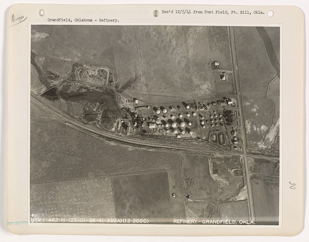


 1917
 2006
 2004