Worthington dates to 1803, and 30 of its places are on the National Register
More historic than 81% of U.S. towns · #298 of 993 in Ohio. What drives it
Most of Worthington was built recently: 6% of its homes predate 1940 and the median home dates from 1963. 30 places in town are on the National Register, among them two historic districts with 642 buildings between them. Below: 11 old photos and papers, maps from 1901 on, and the census since 1840.
Founding year: Wikipedia. First post office: 1807.The full story ↓
History grade
What drives Worthington’s History grade
On its age, its old homes and the National Register, Worthington is more historic than 81% of U.S. towns, #298 of 993 in Ohio. Its National Register listings hold the grade up; its share of homes from before 1940 pulls it down.
A−
HistoryA character grade: shown, never part of Worthington’s overall grade.
Ohio towns list about as much on the Register as the country (a typical Ohio town has 2.9 per 10,000 residents, the U.S. 2.4), so Worthington’s 448 sits above most of its state (98% of Ohio towns have fewer) while its 669 historic buildings outnumber those of 98% of U.S. towns.
How sure. Graded on any two of the three inputs instead, the letter would range from B− to A+. The pre-1940 share (±2.3 points) is firm at this size. Two sources give 1803.
Founding year: Wikipedia (other dates in Quick answers). Homes: Census ACS 2020–24. National Register: National Park Service, May 2026 list; each listing counted once (boundary changes and added documentation belong to their listing), and a historic district counts its contributing buildings. How TownRatings grades history →
What stands out about Worthington’s past
Read from the archive, the National Register and the record. The page puts what stands out first.
On May 5, 1802, a group of prospective settlers founded the Scioto Company at the home of Rev. Eber B. Clark in Granby, Connecticut for the purpose of forming a settlement between the Muskingum River and Great Miami River in the Ohio Country. James Kilbourne was elected president and Josiah Topping secretary (McCormick 1998:7).
On August 30, 1802, James Kilbourne and Nathaniel Little arrived at Colonel Thomas Worthington's home in Chillicothe, Ohio. They tentatively reserved land along the Scioto River on the Pickaway Plains for their new settlement (McCormick 1998:17).
Passages that mention Worthington, cut from the printed page as they were published.
History of Franklin County [Ohio]1858 · page 179Read the page →
Read the text
In 1804, the town of Worthington was laid out. In 1805, the Worthington Post Ofiice was first established, and William Robe* was appointed the first Postmaster in 1805.
Text read by machine from the scan; it may contain errors.
Centennial history of Columbus and Franklin County, Ohio1909 · page 404Read the page →
Read the text
The town of Worthington was incorporated by act of the legislature in 1835, and in the spring of 1836 the first town officers were elected as follows : Mayor, James Kilbourne; recorder, G. H. Griswold; trustees, Samuel Abbott, William Bishop, Ira Metealf, A. H. Pinney, William S. Spencer and R. AV.
Text read by machine from the scan; it may contain errors.
Centennial history of Columbus and Franklin County, Ohio1909 · page 403Read the page →
Read the text
The town of Worthington was duly "laid out" in 1804, and in 1805 it was made a government postofhce, and William Robe was installed as the first postmaster. Mr. Robe was a dwarf and an undersized one at that, and was, in stature at least, the prototype of P. T. Barnum's celebrated Tom Thumb of the middle of the nineteenth century.
Text read by machine from the scan; it may contain errors.
History of Franklin County [Ohio]1858 · page 27Read the page →
Read the text
He made his first trip of exploration to Ohio on behalf of the Company, in the spring of 1802, and after traveling over 1000 miles through the territory, on foot, he selected 16,000 acres of land for the Company, one half of which lies in a body where the town of Worthington was afterwards laid out. He returned in the fall to Connecticut, and in the spring of 1803, he led a part of the Company to his new purchase. The rest soon followed. On the 5th of May, 1803, he cut the first tree on the new purchase. By the 4th of July, 1804, the little colony numbered about 100 persons, and they celebrated the national anniver-
Text read by machine from the scan; it may contain errors.
Scans and text from the Internet Archive. Books published in 1930 or earlier, which are in the public domain.
Timeline
Worthington, 1803 to 1983
Woven from the archive, old maps, post office records, the National Register and the people born here.
Nothing in the archives for these yearsWeddings on Main Street, storms, parades, school pictures, the old store. If it’s in your family album, it belongs here.
In 1803, according to Wikipedia’s history of the town. Worthington’s post office opened in 1807, and the census of 1840 counted 440 people here.
How does Worthington rank for history?
Worthington is more historic than 81% of U.S. towns, #298 of 993 in Ohio. The History grade combines the town’s founding era, the share of homes built before 1940 and its National Register listings. It’s a character grade, so it isn’t part of the overall grade. How it works.
What is on the National Register in Worthington?
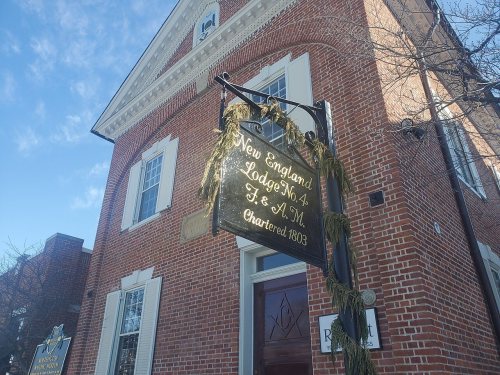
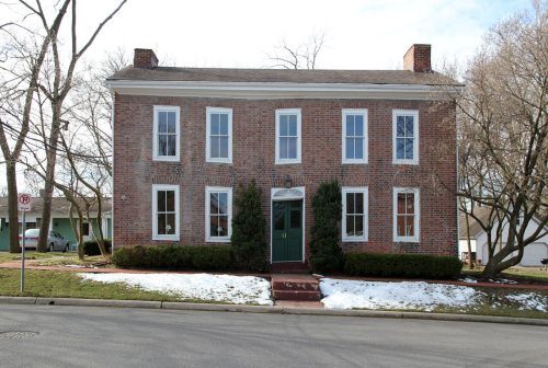
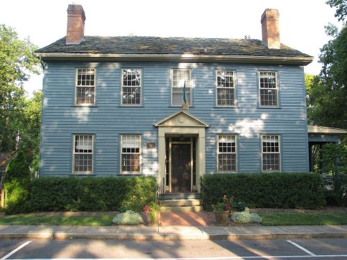
30 listings: 26 buildings, among them the New England Lodge (listed 1973, the first), 2 historic districts, the Rush Creek Village Historic District and the Worthington Historic District, with 642 contributing buildings, 1 site, and 1 structure. 669 historic buildings in all.
How old are the homes in Worthington?
6% of Worthington’s homes were built before 1940 (Census estimate, ±2.3 points), against a typical 15% for an Ohio town; the median home was built in 1963.
Founding dates: Wikidata, Wikipedia, the U.S. post office records of Blevins & Helbock (CC0) and the Census. Homes by year built: Census ACS 2020–24. National Register of Historic Places: National Park Service (list of May 22, 2026). Old photos, postcards and papers: Wikimedia Commons, the Library of Congress and other public archives, credited on each item’s page. Maps: U.S. Geological Survey historical topographic maps (via Esri) and Sanborn fire-insurance maps (Library of Congress). History text and census tables: Wikipedia (CC BY-SA 4.0). Places that used to be: USGS Geographic Names Information System (2021).
From the Library of Congress (11), Wikidata (1), the National Register of Historic Places (30), Wikipedia, Wikidata and Wikipedia for famous people, U.S. Geological Survey historical maps, U.S. Census counts (via Wikipedia), the US Post Offices dataset (Blevins & Helbock), the USGS Geographic Names Information System, Sanborn fire insurance maps (Library of Congress) and old county and town histories (Internet Archive). Archive images are copied here with their credits and licenses, shown on each photo’s page. Refreshed monthly.


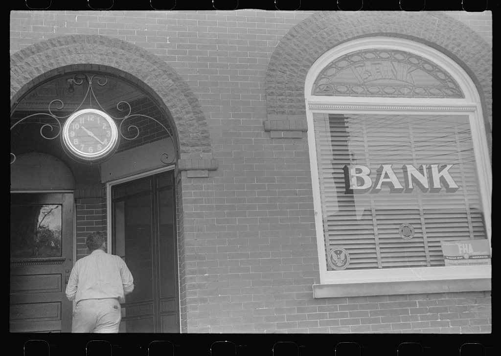




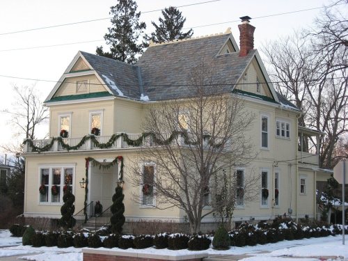


 1938
 1938
 1938
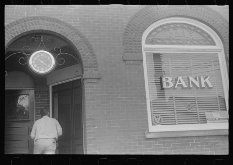 1938
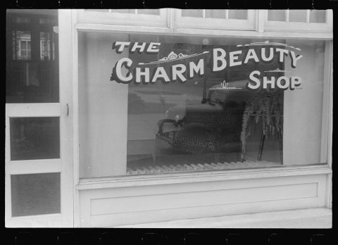 1938
 1938
 1938
 1938
 1938
 1938


