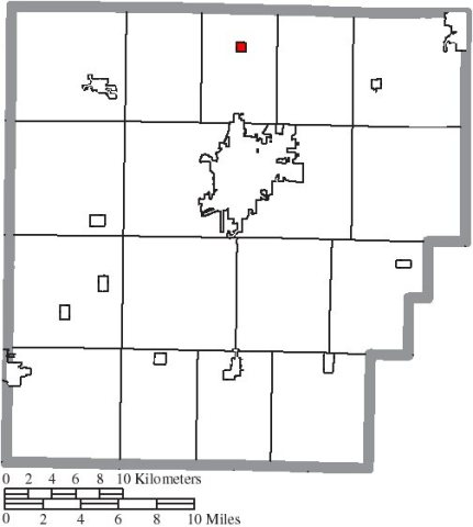
Van Buren was laid out in 1833, and named after Martin Van Buren, who was then the incumbent Vice President (1833–1837) and later became President of the United States (1837–1841). The village was incorporated in 1866.
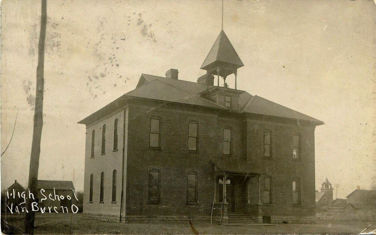
The first schoolhouse in Allen Township was a small log structure built in 1836. It was built of round logs with a clapboard roof, had greased paper windows and a huge fireplace at one end. About 1870 a two-room brick building was built on East Market Street. This building was later condemned and a four-room school was erected and used till 1917 when the schools of Allen Township were centralized and the present school, Van Buren High School, was erected.
A post office called Van Buren has been in operation since 1835.
Every edition of the U.S. Geological Survey’s map of Van Buren. Tap a year, or press play to watch the town change.
1903Findlay sheet · 1:62,500
U.S. Geological Survey historical topographic maps (public domain), via Esri’s collection of the scans. The red ring marks the center of Van Buren.
From the old history books
What they wrote about Van Buren, 1881–1903
Passages that mention Van Buren, cut from the printed page as they were published.
History of Hancock county [Ohio] from its earliest settlement to the present time, together with remeiniscenses of pioneer life, incidents, statistical tables, and biographical sketches1881 · page 191Read the page →
Read the text
GEORGE ENSMINGER Entered the land on which a part of the town of Van Buren now stands, in 1832, and in 1833 he, with John Trout, laid out the town of Van Buren. Mr. Ensminger followed farming for a livelihood, and was the owner of much valuable land in this township. His descendants iiave all left the township.
Text read by machine from the scan; it may contain errors.
History of Hancock County, Ohio1886 · page 350Read the page →
Read the text
They came from Wayne County, Ohio, in 1832, and the following year the former and John Trout laid out Van Buren. In 1836-37 George Ensminger built a saw-mill on Portage Creek, which proved a useful appendage to the settlement. He reared a large family, and both he and his wife died upon the old homestead. None of the childi'en are residents of this county.
Text read by machine from the scan; it may contain errors.
A centennial biographical history of Hancock County, Ohio..1903 · page 374Read the page →
Read the text
For many years this gentleman, now deceased, was one of the leading citizens of Allen township, Hancock county. He was the son of John and Eleanor Trout, who, with their family removed from Perry county to the village of Van Buren, Hancock county, in 1828. The father entered one hundred and sixty acres of land from the government, part of which original purchase is now owned by Allen Dorsey, of Van Buren. This land was soon brought under a good state of cultivation. Mr. John Trout is remembered as having been one of the principal movers in the matter of laying out the
Text read by machine from the scan; it may contain errors.
A centennial biographical history of Hancock County, Ohio..1903 · page 35Read the page →
Read the text
Jenera, a village of Van Buren township, though a comparatively new growth, holds its own quite well with other towns of its size in Hancock county. It is surrounded by a good farming community and is the center of a considerable trade of a local character, which promises in time to make the village a place of some importance. In places of this kind "the store" is always a feature of consequence, being a kind of rallying point and headquarters for news, as well as the supply depot for all in need of goods of any kind.
Text read by machine from the scan; it may contain errors.
Scans and text from the Internet Archive. Books published in 1930 or earlier, which are in the public domain.
Timeline
Van Buren, 1835 to 1903
Woven from the archive, old maps, post office records, the National Register and the people born here.
Nothing in the archives for these yearsWeddings on Main Street, storms, parades, school pictures, the old store. If it’s in your family album, it belongs here.
Founding dates: Wikidata, Wikipedia, the U.S. post office records of Blevins & Helbock (CC0) and the Census. Homes by year built: Census ACS 2020–24. National Register of Historic Places: National Park Service (list of May 22, 2026). Old photos, postcards and papers: Wikimedia Commons, the Library of Congress and other public archives, credited on each item’s page. Maps: U.S. Geological Survey historical topographic maps (via Esri) and Sanborn fire-insurance maps (Library of Congress). History text and census tables: Wikipedia (CC BY-SA 4.0). Places that used to be: USGS Geographic Names Information System (2021). How TownRatings grades history →
From Wikimedia Commons (6), Wikipedia, U.S. Geological Survey historical maps, U.S. Census counts (via Wikipedia), the US Post Offices dataset (Blevins & Helbock), the USGS Geographic Names Information System and old county and town histories (Internet Archive). Archive images are copied here with their credits and licenses, shown on each photo’s page. Refreshed monthly.



 2021
 2015
 2015
 2015
 2004


