Sugar Grove was officially platted in 1830 and incorporated in 1851. It is named for a sugar orchard near the original town site. Early settlement began in 1834 with pioneers such as Asa McDole and the Isbell brothers, who are credited with building the first cabin in what would become the village.
The village grew at the confluence of Rush Creek and the Hocking River and served as a waypoint along early transport routes, including the Hocking Canal Through the 19th and early 20th centuries, Sugar Grove supported a mix of agriculture, small industries, and locally owned commerce. Several early structures remain, including canal-era buildings and 19th-century storefronts.
Passages that mention Sugar Grove, cut from the printed page as they were published.
History of Fairfield County, Ohio1912 · page 130Read the page →
Read the text
The first house in Sugar Grove was built about 1835, by Samuel White. It was a log cabin long since removed. It stood on the lot opposite Dennis's hotel. The first store comprised a small stock of goods, brought to the place by Christian Krebs, and Jefferson Meeks.
Text read by machine from the scan; it may contain errors.
History of Fairfield County, Ohio1912 · page 210Read the page →
Read the text
The Crook quarry which borders the hills on the east wall of the Hocking Valley half way between Lancaster and Sugar Grove, has not been operated for many years, but a large amount of stone has been won there. The Sharp quarries at Sugar Grove and at several points between there and the Hocking County line have not now been active for several
Text read by machine from the scan; it may contain errors.
Scans and text from the Internet Archive. Books published in 1930 or earlier, which are in the public domain.
Founding dates: Wikidata, Wikipedia, the U.S. post office records of Blevins & Helbock (CC0) and the Census. Homes by year built: Census ACS 2020–24. National Register of Historic Places: National Park Service (list of May 22, 2026). Old photos, postcards and papers: Wikimedia Commons, the Library of Congress and other public archives, credited on each item’s page. Maps: U.S. Geological Survey historical topographic maps (via Esri) and Sanborn fire-insurance maps (Library of Congress). History text and census tables: Wikipedia (CC BY-SA 4.0). Places that used to be: USGS Geographic Names Information System (2021). How TownRatings grades history →
From Wikimedia Commons (6), Wikipedia, the US Post Offices dataset (Blevins & Helbock), the USGS Geographic Names Information System and old county and town histories (Internet Archive). Archive images are copied here with their credits and licenses, shown on each photo’s page. Refreshed monthly.


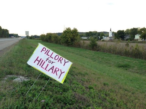 2016
 2016
 2015
 2015
 2015
 2004


