Fire insurance maps drew every building, what it was made of and what it was used for, so insurers could price the risk of fire. Pick a year, then a sheet.
1901Sheet 1 of 1
Edition
Sheets
BrickWoodStone
Sanborn Map Company, via the Library of Congress. Editions published in 1930 or earlier, which are in the public domain.
On the map
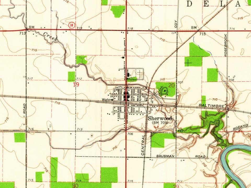
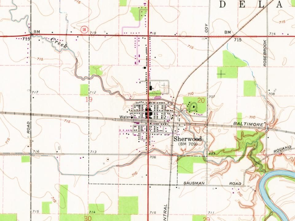
Sherwood on the map, 1914 to 1973
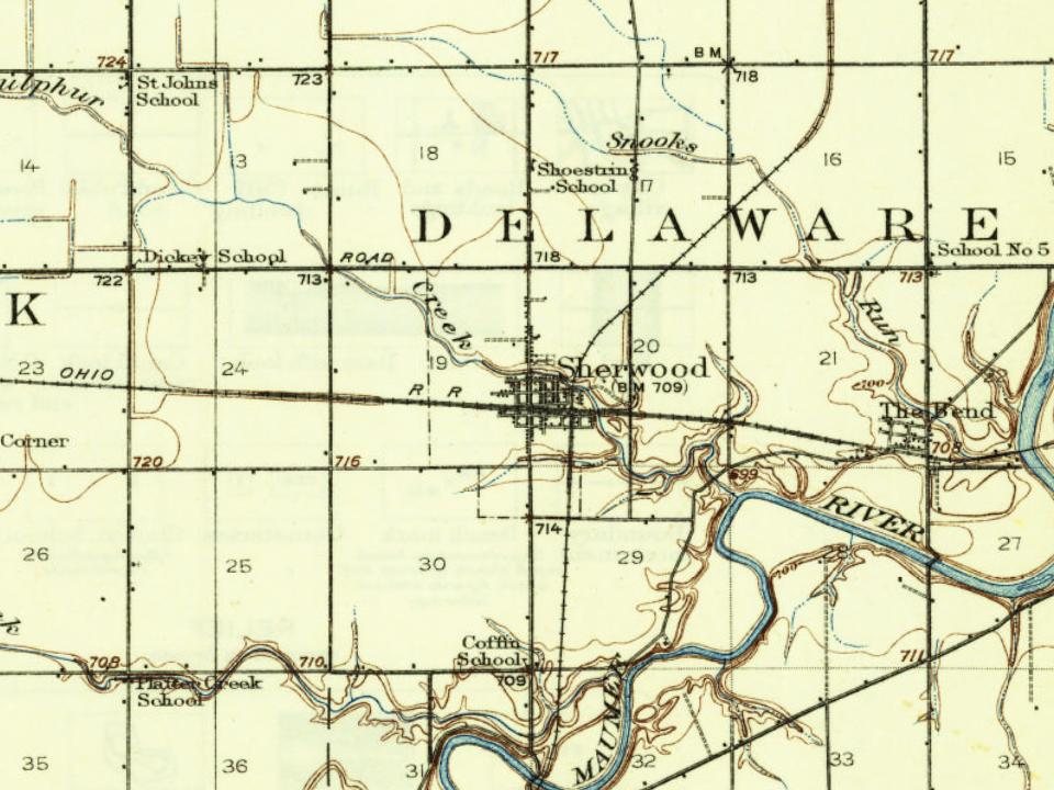
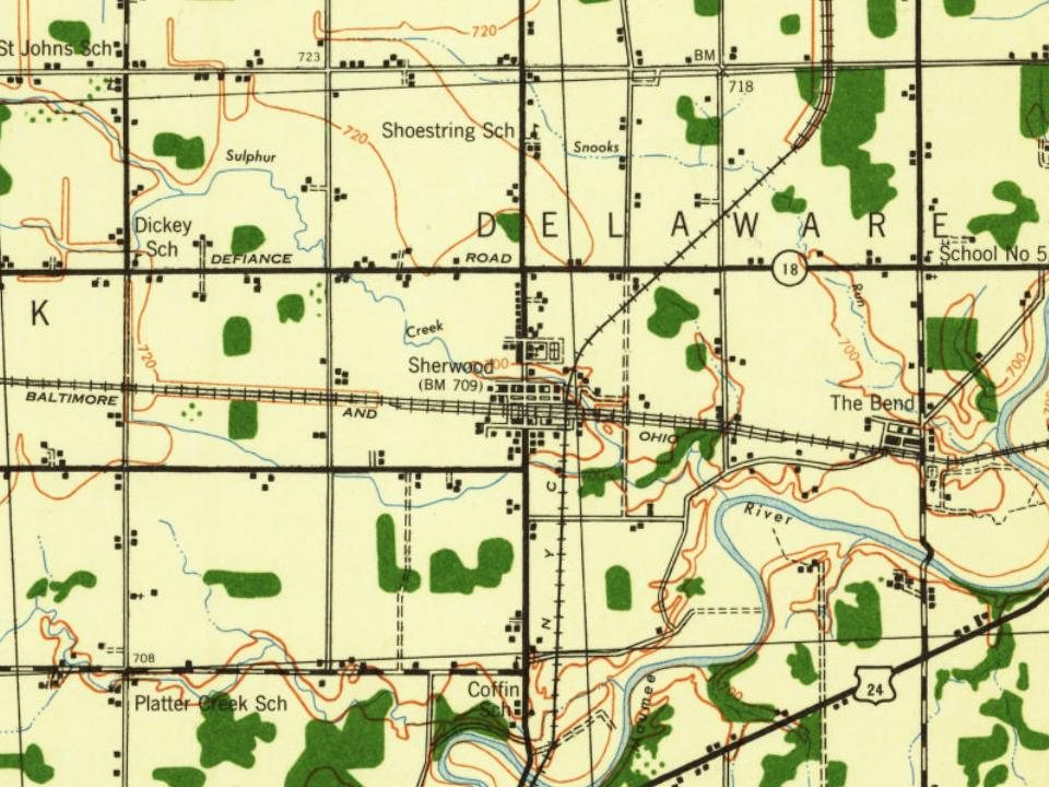
Every edition of the U.S. Geological Survey’s map of Sherwood. Tap a year, or press play to watch the town change.
1914Bryan sheet · 1:62,500
U.S. Geological Survey historical topographic maps (public domain), via Esri’s collection of the scans. The red ring marks the center of Sherwood.
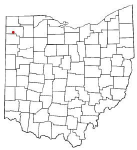
Sherwood was platted in the 1870s when the railroad was extended to that point. The village was named for Isaac R. Sherwood, a member of the United States House of Representatives from Ohio.
Passages that mention Sherwood, cut from the printed page as they were published.
History of Defiance County, Ohio1883 · page 260Read the page →
Read the text
born Deceinber 18, 1845; Zeno H.,born October 7, 18-48; Stewart W., born February 25, 1851. All living and grown. Johnson served in the war of 1861-65, aud was wounded twice. The village of Sherwood which took its name from Seeretary Sherwood, was laid out by William Taylor and William Rock in 1875. The number of lots north of the railroad is about seventy-five. Mr. Elias Miller laid out all
Text read by machine from the scan; it may contain errors.
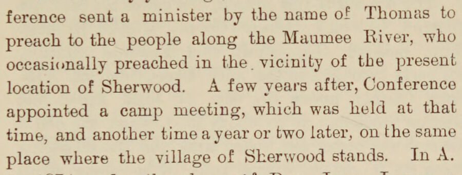
History of Defiance County, Ohio1883 · page 258Read the page →
Read the text
ference sent a minister by the name of Thomas to preach to the people along the Maumee River, who oceasionally preached in the. vicinity of the present location of Sherwood. A few years after, Conference appointed a camp meeting, which was held at that time, and another time a year or two later, on the same place where the village of Skerwood stands. In A.
Text read by machine from the scan; it may contain errors.
Scans and text from the Internet Archive. Books published in 1930 or earlier, which are in the public domain.
Founding dates: Wikidata, Wikipedia, the U.S. post office records of Blevins & Helbock (CC0) and the Census. Homes by year built: Census ACS 2020–24. National Register of Historic Places: National Park Service (list of May 22, 2026). Old photos, postcards and papers: Wikimedia Commons, the Library of Congress and other public archives, credited on each item’s page. Maps: U.S. Geological Survey historical topographic maps (via Esri) and Sanborn fire-insurance maps (Library of Congress). History text and census tables: Wikipedia (CC BY-SA 4.0). Places that used to be: USGS Geographic Names Information System (2021). How TownRatings grades history →
From Wikimedia Commons (4), Wikipedia, U.S. Geological Survey historical maps, U.S. Census counts (via Wikipedia), the US Post Offices dataset (Blevins & Helbock), the USGS Geographic Names Information System, Sanborn fire insurance maps (Library of Congress) and old county and town histories (Internet Archive). Archive images are copied here with their credits and licenses, shown on each photo’s page. Refreshed monthly.
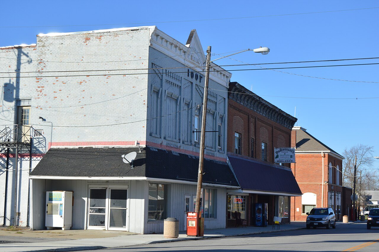


 2015
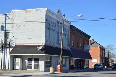 2015
 2015
 2004