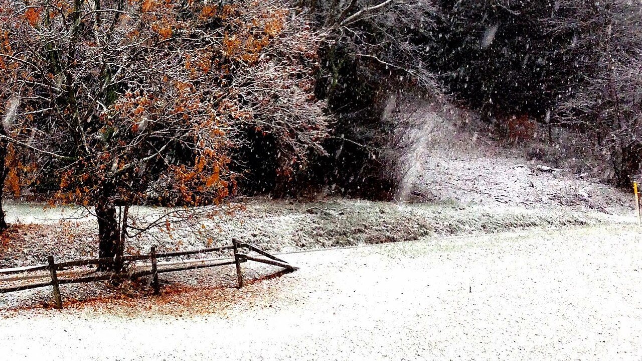
Rockbridge, OH, 2014
Rockbridge’s story
163 years in pictures
The archive holds 6 old photos and papers going back to 2007 and 4 maps from 1907 on.
- 1863Rockbridge is settled
Each edition grades its towns against each other only.
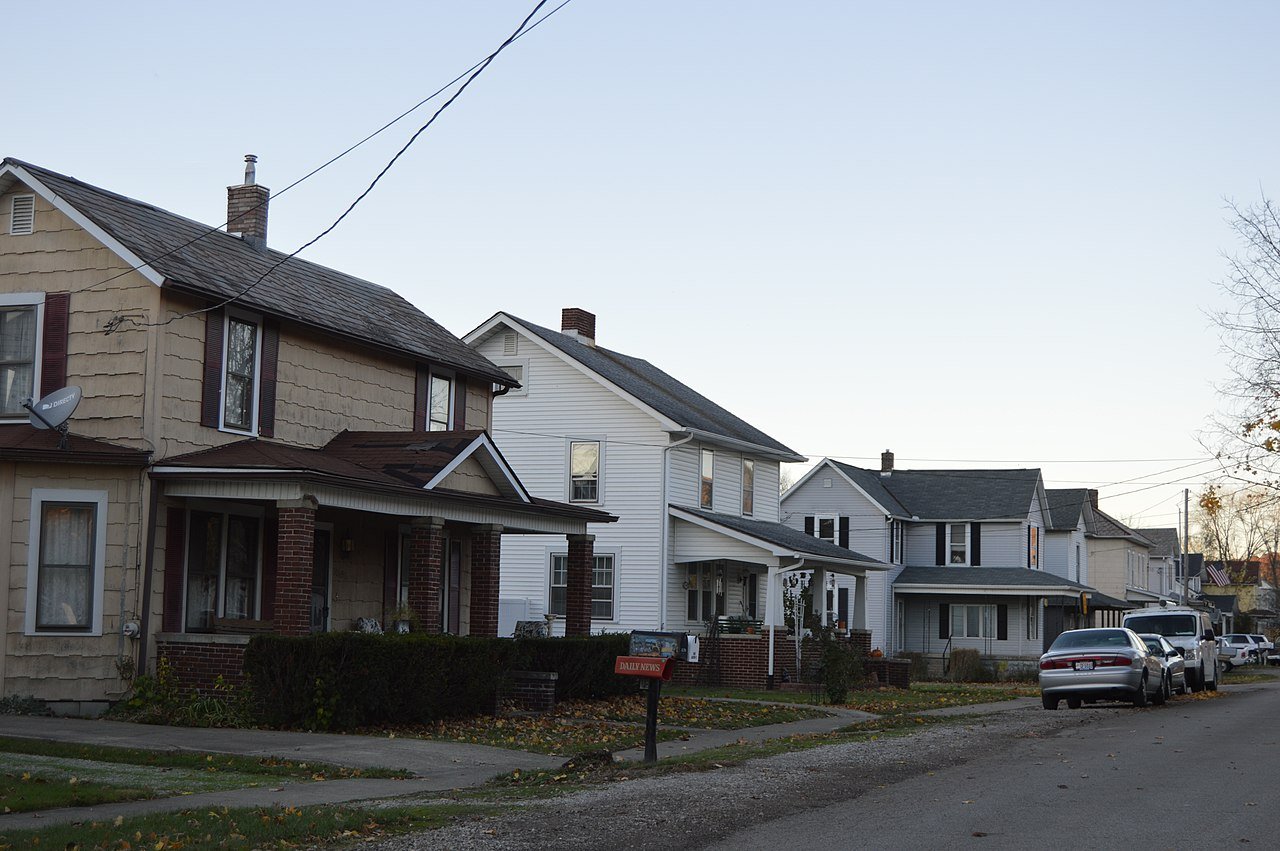
186 people live in this town, settled in 1863.
63% of residents live below the poverty line in Rockbridge, where Ohio’s towns sit at 9.1% and U.S. towns at 9.6%. Among 994 Ohio towns, just 10 have a lower share of households owning their home than Rockbridge. Rockbridge’s trail density is 2.5 miles per square mile, where Ohio’s towns sit at 0.2 and U.S. towns at 0.4. The biggest park or preserve is Gosnell Preserve, at 45 acres. Rockbridge has fewer than 1,000 residents, too few for fair grades; the figures below are still real.
The archive holds 6 old photos and papers going back to 2007 and 4 maps from 1907 on.
In a town this size, neighbors are the best guide. Ask them anything.
Ordered by what stands out in Rockbridge.
Typical home values rose 4.6% in the year to September 2026.
Zillow Home Value Index · Redfin Data Center
The seasons in Rockbridge bring chilly winters and warm summers. Summer afternoons peak near 84° in July, and January nights bottom out around 21°; snowfall runs to about 20 inches a winter.
NOAA U.S. Climate Normals, 1991–2020
The share of adults in Rockbridge who sleep under 7 hours is 41%. Rockbridge: 31% of adults have obesity.
| Rockbridge | Typical Ohio town | Typical U.S. town | |
|---|---|---|---|
| Obesity (CDC PLACES) | 31% | 38% | 35% |
| Sleep under 7 hours (CDC PLACES) | 41% | 38% | 36% |
| Depression (CDC PLACES) | 27% | 26% | 23% |
| Fair or poor health (CDC PLACES) | 16% | 20% | 19% |
| What stands out | Rockbridge | OH |
|---|---|---|
| Fewer uninsured adults | 5.3% | 8% |
| Fewer adults facing food insecurity | 9.8% | 14.1% |
CDC PLACES 2025 · modeled estimates for adults · CMS · HRSA
FEMA puts nearly four fifths of Rockbridge’s expected hazard losses down to inland flooding, and 6% to tornadoes. Storm and flood damage is expected to run higher than in just over half of U.S. communities. Households in the town have drawn federal disaster aid in 3 declared disasters, most recently in 2019.
FEMA disaster declarations and aid · FEMA National Risk Index · OpenFEMA
There are 1.0 miles of trail across 2 parks and preserves. Rockbridge’s parks and preserves take up 79 acres in all.
| Biggest places to walk | Trails | Acres |
|---|---|---|
| 1. Gosnell Preserve | 0.9 mi | 45 |
| 2. Appalachia Ohio Alliance Demonstration Area | — | 34 |
Trails & parks © OpenStreetMap contributors · Conserved land: USGS PAD-US
Rockbridge is unincorporated, so Hocking County and regional agencies provide most services.
EPA SDWIS (Oct 9, 2026) · HIFLD + EIA-861 2025 · Census 2020 ZCTAs · NCES 2024–25 · registration: vote.gov, updated Aug 3, 2026.
1 within 15 miles of the center of Rockbridge
About 0 of every 100 Rockbridge residents are enrolled in college, against 6 across Ohio.
Census-designated place in Ohio, U.S.
Rockbridge is an unincorporated community and census-designated place (CDP) in eastern Good Hope Township, Hocking County, Ohio, United States. It has a post office with the ZIP code 43149. It is located at the interchange of U.S. Route 33 and State Route 374, between Logan and Lancaster. As of the 2020 census the population of the CDP was 160.
From Wikipedia, licensed CC BY-SA 4.0 · facts via Wikidata (CC0)
Short answers, built from the data on this page.
Rockbridge has fewer than 1,000 residents, too few for fair grades; the figures below are still real.
Ask a question, answer one, post a photo or an event. Free, and the parts only a neighbor would know are the parts worth reading.