Park LayneOH
4,301 people call this town in Ohio home.
Is Park Layne a good place to live?
Health is its weak spot (D−): residents are less healthy than 96% of U.S. towns on CDC estimates. Incomes are where it shines (B+): the median household earns $83K. Cost of living is another plus (B+) — a typical home costs about $181K, 2.9 years of the Springfield metro’s $63K median household income. Put together, the subjects come to a C+ overall, better than 41% of U.S. towns. That places it 705th of 987 in Ohio. Only 34 of Ohio’s 1,718 towns score lower on history. The biggest park or preserve is Raynor Park, at 23 acres. 7.7% of adults 25 and older hold a bachelor’s degree or more in Park Layne, below both the Ohio town median (24%) and the median of U.S. towns (29%).
Figures: incomes, Census ACS, 2020–24 · home values, Zillow · health, CDC PLACES · National Register of Historic Places · OpenStreetMap.
What makes Park Layne stand out
Where Park Layne beats most towns, and one thing worth knowing.
Typical home value
| Widest gap | Park Layne | OH |
|---|---|---|
| More older adults who have lost all their teeth | 23% | 15.3% |
98% of working residents leave Park Layne for work
Where Park Layne’s working residents go each day. Line width shows the share.
Census LEHD 2023
How Park Layne grades
Each subject compared with towns across the country (schools within Ohio), ordered by how far Park Layne is from typical.
Its grades run from A for hazard risk (better than 90% of comparable towns) to D− for health (better than 4%), so the C+ overall blends very different results.
How TownRatings grades towns →
National Museum of the United States Air Force and 25 more within 40 miles
Museums, parks, gardens and other places to visit around Park Layne. Close and well known come first.
 8 mi MuseumNational Museum of the United States Air Force1.0M visitors a year
 Big draw40 mi Theme parkKings Island3.5M visitors a year8 mi MuseumNational Aviation Hall of Fame300K visitors a year
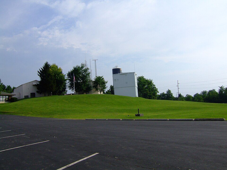 37 mi MountainCampbell Hill
 12 mi LandmarkMadonna of the Trail
 6 mi MuseumHuffman Prairie
Photo credits
National Museum of the United States Air Force: No machine-readable author provided. Rogerd assumed (based on copyright claims)., CC BY-SA 3.0 · Kings Island: Eli Duke from Portland, OR, USA, CC BY-SA 2.0 · Campbell Hill: Analogue Kid (talk)., CC BY-SA 3.0 · Madonna of the Trail: W. Guy Finley, Public domain · Huffman Prairie: Wright Brothers, Public domain


Moving to Park Layne: who provides what
Park Layne is unincorporated, so Clark County and regional agencies provide most services.
EPA SDWIS (Oct 9, 2026) · HIFLD + EIA-861 2025 · Census 2020 ZCTAs · NCES 2024–25 · registration: vote.gov, updated Aug 3, 2026.
The data
Ordered by what stands out in Park Layne.
A larger share of adults smoke cigarettes in Park Layne than in most of Ohio or the rest of the country
The share of adults in Park Layne who have obesity: 45%. In Park Layne, 38% of adults get no exercise outside work, and 22% report frequent mental distress.
| Park Layne | Ohio towns | U.S. towns | |
|---|---|---|---|
| Smoke cigarettes (CDC PLACES) | 23% | 16% | 14% |
| Get no exercise (CDC PLACES) | 38% | 28% | 25% |
| Frequent mental distress (CDC PLACES) | 22% | 18% | 17% |
| Obesity (CDC PLACES) | 45% | 38% | 35% |
| What stands out | Park Layne | OH |
|---|---|---|
| More older adults who have lost all their teeth | 23% | 15.3% |
| More adults facing food insecurity | 21% | 14.1% |
| More smokers | 22.7% | 15.4% |
CDC PLACES 2025 · modeled estimates for adults · CMS · HRSA
The biggest natural risk in Park Layne is inland flooding, at a very low overall level
Half of Park Layne’s expected losses from natural hazards come from inland flooding, followed by tornadoes at 17%. On expected storm and flood damage, Park Layne sits below 89% of U.S. communities. Since 2014, 9 flood insurance claims have been paid out locally.
FEMA flood insurance claims · FEMA National Risk Index · OpenFEMA
Most of Park Layne’s workers commute out: the town has 0.3 jobs for each of them
In Park Layne, 2.4% of working residents work locally. The top destinations are Dayton (10%), Springfield (8%) and Huber Heights (7%). The mean commuting time locally is 19 minutes. Half the trips to work are shorter than 13 miles.
| Park Layne | Ohio towns | U.S. towns | |
|---|---|---|---|
| Average trip to work | 19 minutes | 24 minutes | 25 minutes |
| Below the poverty line | 13% | 9.1% | 9.6% |
| Working residents who work in town | 2.4% | 6.9% | 8% |
| Median household income | $83,000 | $75,000 | $80,000 |
Where working residents work
Census LEHD 2023 · ACS
Park Layne earns a B+ for cost of living
The going rate for rent for Park Layne comes to $898 a month. Over the 12 months to September 2026, the typical home gained 5% in value. For households locally, the share who live in a home they own is 80%.
| Park Layne | Ohio towns | U.S. towns | |
|---|---|---|---|
| Households that own their home | 80% | 77% | 73% |
| Median rent | $898 a month | $944 a month | $1,185 a month |
Typical home value
Census ACS, 2020–24 · Zillow Home Value Index · Redfin Data Center
Park Layne: four seasons and pleasant summers
Park Layne has chilly winters and warm summers. Summer afternoons peak near 85° in July, and January nights bottom out around 22°; snowfall runs to about 12 inches a winter.
Typical low → high °F
NOAA U.S. Climate Normals, 1991–2020
| Park Layne | Ohio towns | U.S. towns | |
|---|---|---|---|
| Miles of trail per square mile | 0.1 miles per square mile | 0.2 | 0.4 |
| Conserved land | 2.6% | 3.7% | 4.3% |
| Biggest places to walk | Trails | Acres |
|---|---|---|
| 1. Raynor Park | — | 23 |
Trails & parks © OpenStreetMap contributors · Conserved land: USGS PAD-US
Everything we know about Park Layne
Colleges nearby
12 within 15 miles of the center of Park Layne
About 1 of every 100 Park Layne residents are enrolled in college, against 6 across Ohio.
About Park Layne
Census-designated place in Ohio, United States
Park Layne is a census-designated place (CDP) in Bethel Township, Clark County, Ohio, United States. The population of the CDP was 4,248 at the 2020 census. It is part of the Springfield, Ohio Metropolitan Statistical Area. Park Layne became a CDP in the 1980 United States census. On May 24, 2017, an EF1 tornado touched down and caused damage to several businesses in the community.
From Wikipedia, licensed CC BY-SA 4.0 · facts via Wikidata (CC0)
- Area
- 1.5 sq mi
- Elevation
- 843 ft
Park Layne’s neighbors
3 towns share a border with Park Layne.
| Town | OH rank | Overall | Cost | Safety | Schools | Health |
|---|---|---|---|---|---|---|
| Park Layne | #705 | C+ | B+ | — | C+ | D− |
| Crystal Lakes | — | — | A− | — | C+ | D |
| Bethel Township | #804 | C | B+ | — | C+ | C− |
| Bethel Township | #222 | A− | C+ | — | A− | B |
Crystal Lakes has fewer than 2,500 residents, so it gets subject grades but no overall grade. Park Layne, Crystal Lakes, Bethel Township and Bethel Township report no FBI crime data of their own. Compare Park Layne with a neighbor →
Questions about Park Layne
Short answers, built from the data on this page.
Is Park Layne, OH a good place to live?
Park Layne grades C+ overall, better than 41% of U.S. towns and #705 of 987 in Ohio. It grades D− for health and C+ for schools. Health is its weak spot, with a D−.
Is Park Layne, OH expensive?
Not for the area. Cost of living, which also weighs rents, property taxes and how many households pay 30% or more of their income for housing, grades B+.