![Institutional structures by Gilbert.] [Sketches](https://images.townratings.com/story/43837/f638c987c7cc2bc66e13-l.jpg)
Institutional structures by Gilbert.] [Sketches, 1912
New Haven’s story
212 years in pictures
The archive holds 1 old photo or paper going back to 1912 and 4 maps from 1915 on.
- 1814New Haven is settled
Each edition grades its towns against each other only.
34% of residents live below the poverty line in New Haven, where Ohio’s towns sit at 9.1% and U.S. towns at 9.6%. Among 994 Ohio towns, just one has a higher home-ownership rate than New Haven. New Haven has fewer than 1,000 residents, too few for fair grades; the figures below are still real.
Where New Haven beats most towns.
The archive holds 1 old photo or paper going back to 1912 and 4 maps from 1915 on.
In a town this size, neighbors are the best guide. Ask them anything.
Ordered by what stands out in New Haven.
On expected storm and flood damage, New Haven sits below 82% of U.S. communities. FEMA puts 54% of the town’s expected hazard losses down to inland flooding, and 16% to tornadoes.
FEMA National Risk Index · OpenFEMA
The top destinations are Willard (21%), New Haven Township (8%) and Norwalk (6%). Half commute less than 14 miles.
Census LEHD 2024 · ACS
In July, afternoons reach 83°; in January, nights fall to 18°, and about 33 inches of snow falls in a winter.
NOAA U.S. Climate Normals, 1991–2020
16% of New Haven adults report frequent physical distress. In New Haven, 18% of adults smoke cigarettes, and 15% have diabetes.
| New Haven | Typical Ohio town | Typical U.S. town | |
|---|---|---|---|
| Get no exercise (CDC PLACES) | 31% | 28% | 25% |
| Smoke cigarettes (CDC PLACES) | 18% | 16% | 14% |
| Diabetes (CDC PLACES) | 15% | 13% | 12% |
| Sleep under 7 hours (CDC PLACES) | 40% | 38% | 36% |
| What stands out | New Haven | OH |
|---|---|---|
| More adults with COPD | 9.8% | 8% |
| More smokers | 18.4% | 15.4% |
| More adults with heart disease | 8.3% | 7.1% |
CDC PLACES 2025 · modeled estimates for adults · CMS · HRSA
Museums, parks, gardens and other places to visit around New Haven. Close and well known come first.
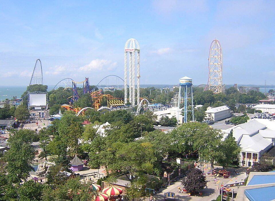 Big draw31 mi Theme parkCedar Point3.5M visitors a year
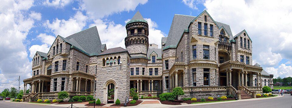 19 mi MuseumOhio State Reformatory
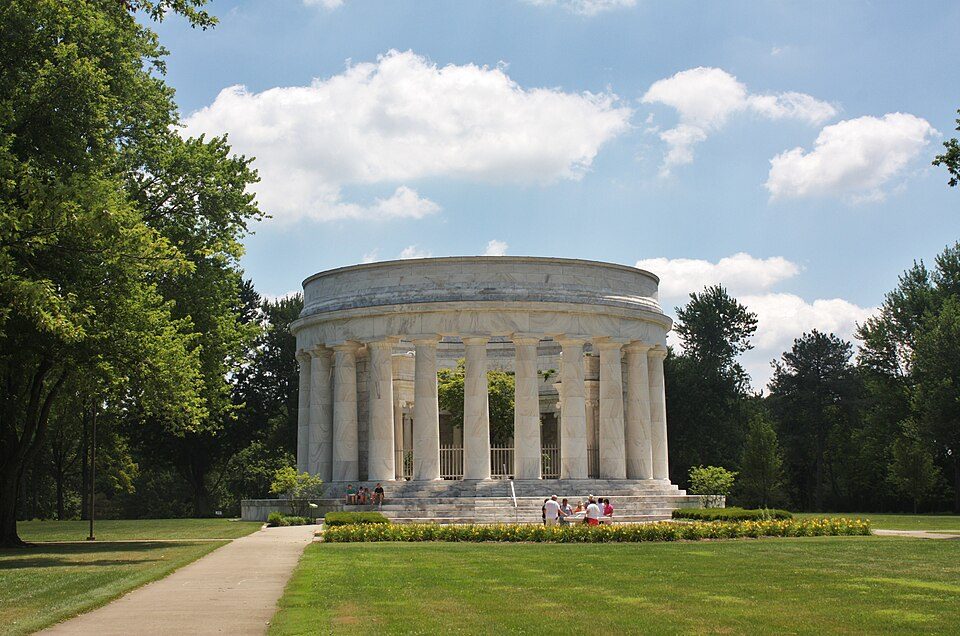 39 mi LandmarkHarding Tomb
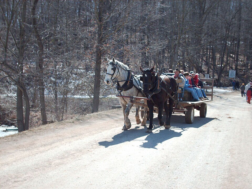 31 mi State parkMalabar Farm State Park29 mi Theme parkCastaway Bay
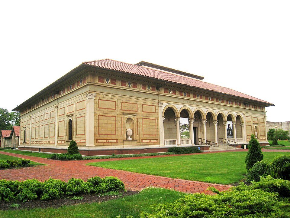 31 mi MuseumAllen Memorial Art Museum
Cedar Point: Larry Pieniazek, User:Lar, en:User:Lar (primary), CC BY 2.5 · Ohio State Reformatory: Niagara66, CC BY-SA 4.0 · Harding Tomb: User:Postdlf, CC BY-SA 3.0 · Malabar Farm State Park: Jerward at en.wikipedia, Public domain · Allen Memorial Art Museum: Daderot, Public domain
New Haven is unincorporated, so Huron County and regional agencies provide most services.
EPA SDWIS (Oct 9, 2026) · HIFLD + EIA-861 2025 · Census 2020 ZCTAs · NCES 2024–25 · registration: vote.gov, updated Aug 3, 2026.
Where New Haven’s working residents go each day. Line width shows the share.
Census LEHD 2024
None within 15 miles of New Haven; the nearest are
About 0 of every 100 New Haven residents are enrolled in college, against 6 across Ohio.
Census-designated place in Ohio, United States
New Haven is an unincorporated community and census-designated place (CDP) in central New Haven Township, Huron County, Ohio, United States. As of the 2020 census the population was 356. It has a post office with the ZIP code 44850. It lies at the intersection of U.S. Route 224 with State Routes 61 and 598.
From Wikipedia, licensed CC BY-SA 4.0 · facts via Wikidata (CC0)
Short answers, built from the data on this page.
New Haven has fewer than 1,000 residents, too few for fair grades; the figures below are still real.
Ask a question, answer one, post a photo or an event. Free, and the parts only a neighbor would know are the parts worth reading.


