
Glynnwood Catholic Church · National Register of Historic Places
Moulton Township’s story
166 years in pictures
1 place on the National Register of Historic Places.
- 1860Moulton Township is settled
Each edition grades its towns against each other only.
A town of 1,636, settled in 1860.
Moulton Township’s best subject grade is an A− for incomes; its weakest is a D− for walkability. Only 7 of the 994 Ohio towns we compare have a lower share of residents below the poverty line than Moulton Township. Moulton Township's schools rank ahead of 69% of Ohio towns. On the outdoors, just 61 of Ohio’s 1,718 towns do worse. Glynnwood Catholic Church is on the National Register of Historic Places. Moulton Township has fewer than 2,500 residents, so it gets subject grades but no overall grade.
Where Moulton Township’s working residents go each day. Line width shows the share.
Census LEHD 2023
Each subject compared with towns across the country (schools within Ohio), ordered by how far Moulton Township is from typical.
How TownRatings grades towns →
1 place on the National Register of Historic Places.
Who provides power, water and the rest in Moulton Township, and how to reach them.
EPA SDWIS (Oct 9, 2026) · HIFLD + EIA-861 2025 · Census 2020 ZCTAs · NCES 2024–25 · registration: vote.gov, updated Aug 3, 2026.
Ordered by what stands out in Moulton Township.
Most working residents leave Moulton Township for work: only 2% work in town. Jobs based in Moulton Township grew to 207 in 2023, 82 more than in 2013. Moulton Township’s average trip to work is 21 minutes, where Ohio’s towns sit at 24 minutes and U.S. towns at 25 minutes.
| Moulton Township | Ohio towns | U.S. towns | |
|---|---|---|---|
| Average trip to work | 21 minutes | 24 minutes | 25 minutes |
| Working residents who work in town | 1.6% | 6.9% | 8% |
Census LEHD 2023 · ACS
Moulton Township beats the Ohio average on 1 of 32 CDC measures and trails it on 1. 41% of adults have obesity in Moulton Township, above both Ohio’s towns (38%) and U.S. towns (35%). 39% of Moulton Township adults sleep under 7 hours.
| Moulton Township | Ohio towns | U.S. towns | |
|---|---|---|---|
| Obesity (CDC PLACES) | 41% | 38% | 35% |
| Sleep under 7 hours (CDC PLACES) | 39% | 38% | 36% |
| High blood pressure (CDC PLACES) | 39% | 38% | 35% |
| Smoke cigarettes (CDC PLACES) | 17% | 16% | 14% |
| What stands out | Moulton Township | OH |
|---|---|---|
| Fewer adults facing a utility shut-off | 7.1% | 8.3% |
| More adults who have had cancer | 9.8% | 8.7% |
CDC PLACES 2025 · modeled estimates for adults · CMS · HRSA
Moulton Township has chilly winters and warm summers. July afternoons reach 84°, January nights drop to 19° and about 10 inches of snow falls in a winter.
NOAA U.S. Climate Normals, 1991–2020
Expected storm and flood damage is lower than in 53% of U.S. communities.
FEMA National Risk Index · OpenFEMA
Museums, parks, gardens and other places to visit around Moulton Township. Close and well known come first.
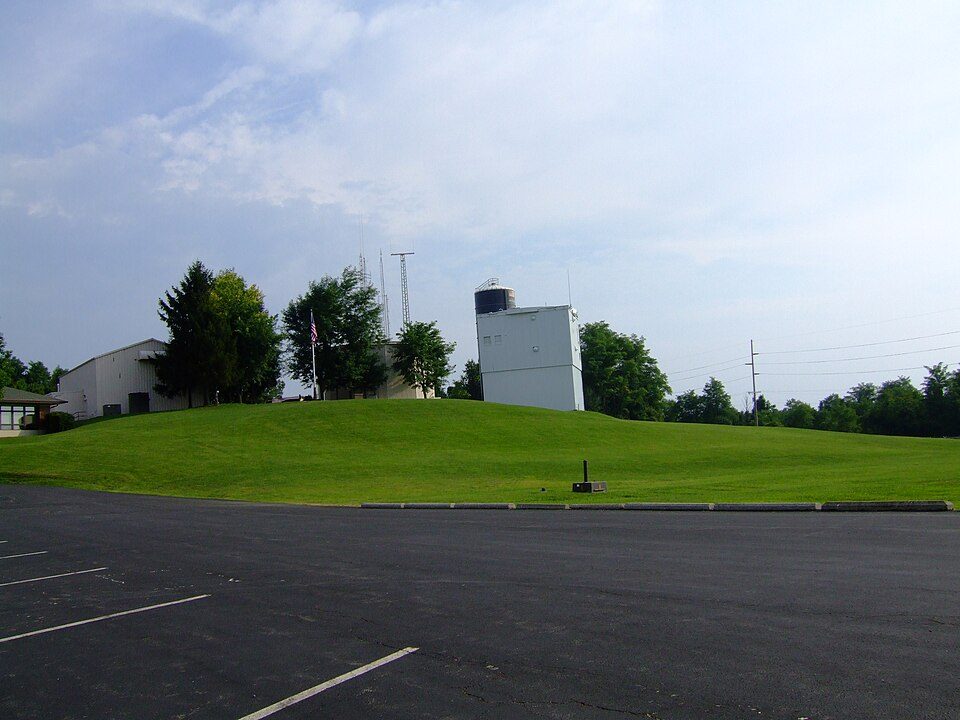 33 mi MountainCampbell Hill
 12 mi State parkGrand Lake St. Marys State Park
 6 mi MuseumArmstrong Air and Space Museum
 29 mi MuseumFort Recovery
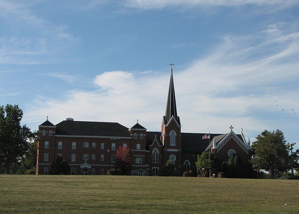 15 mi MuseumShrine of the Holy Relics
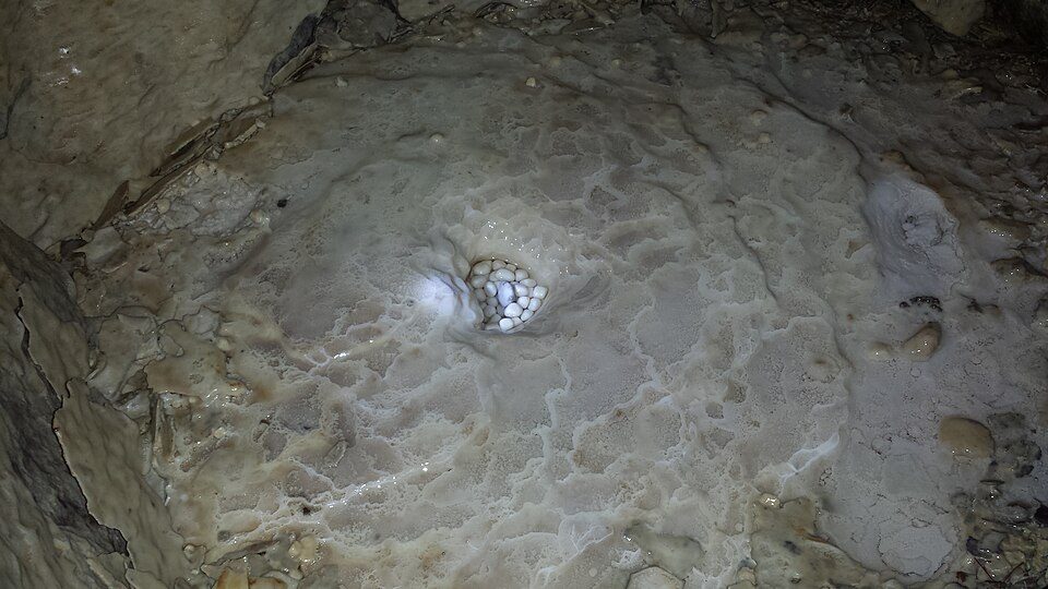 37 mi MuseumZane Shawnee Caverns
Campbell Hill: Analogue Kid (talk)., CC BY-SA 3.0 · Grand Lake St. Marys State Park: Bruin, CC BY 2.0 · Armstrong Air and Space Museum: Tysto, Public domain · Fort Recovery: Nyttend, Public domain · Shrine of the Holy Relics: Rfgagel, Public domain · Zane Shawnee Caverns: Darkbluejacket, CC BY-SA 3.0
2 within 15 miles of the center of Moulton Township
About 3 of every 100 Moulton Township residents are enrolled in college, against 6 across Ohio.
Unincorporated community in Ohio, U.S.
Moulton is an unincorporated community located in southern Moulton Township, Auglaize County, Ohio, United States. It is located along U.S. Route 33 between Wapakoneta and Saint Marys. The original two-lane stretch of U.S. Highway 33, now County Road 33-A, runs through the community. Moulton is served by the Saint Marys City School District and the Wapakoneta (45895) post office. The Toledo and Ohio Central Railway, later merged into the New York Central, operated a line from Columbus, through Russells Point, Gutman, Wapakoneta and to its terminus in Saint Marys, that ran through Moulton, which also served the now defunct Detjen Grain Company. This line was abandoned by New York Central's s…
From Wikipedia, licensed CC BY-SA 4.0 · facts via Wikidata (CC0)
4 towns share a border with Moulton Township.
| Town | OH rank | Overall | Cost | Safety | Schools | Health |
|---|---|---|---|---|---|---|
| Moulton Township | — | — | B | — | B+ | C |
| Logan Township | — | — | B | — | A− | C+ |
| Washington Township | — | — | A | — | A+ | C+ |
| Duchouquet Township | #278 | B+ | A | — | B+ | C |
| Buckland | — | — | — | — | — | — |
Moulton Township, Logan Township and Washington Township have fewer than 2,500 residents, so they get subject grades but no overall grade. Moulton Township, Logan Township, Washington Township and Duchouquet Township report no FBI crime data of their own. Buckland isn’t graded (fewer than 1,000 residents, or not enough data). Compare Moulton Township with a neighbor →
Short answers, built from the data on this page.
Cost of living, which also weighs rents, property taxes and how many households pay 30% or more of their income for housing, grades B.


