Lost post offices, old corners, places now gone and burying grounds
Two other post offices opened and closed inside today’s town.
Little Sandusky
1825–1903
Warpole
1852–1905
18201920today
Hamlets and corners on the map
Brownstown
Gone or out of use
Hendricks SchoolschoolLittle Sandusky Post Officepost officeMifflin SchoolschoolOlive Branch SchoolschoolPleasant Grove SchoolschoolSalem Schoolschool
4cemeteries and burying grounds inside Mifflin Township
BradleyHendersonRowlandSalem
US Post Offices dataset (Blevins & Helbock, CC0). Places and cemeteries from the USGS Geographic Names Information System (2021).
On the map
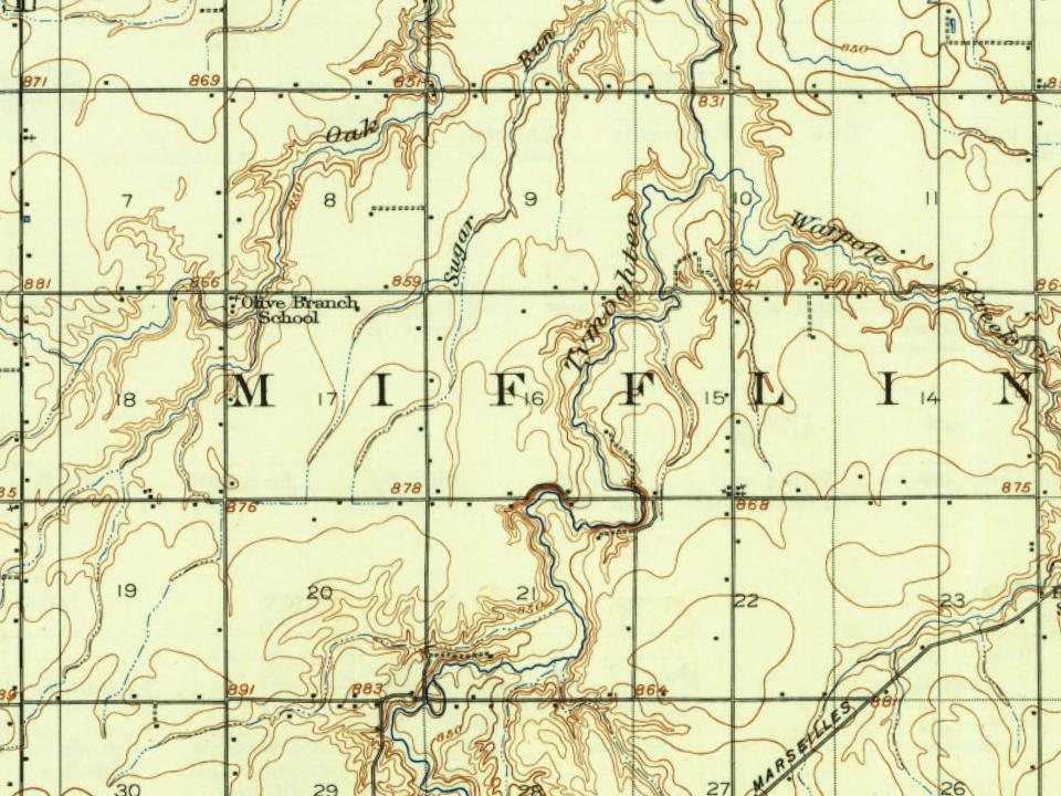
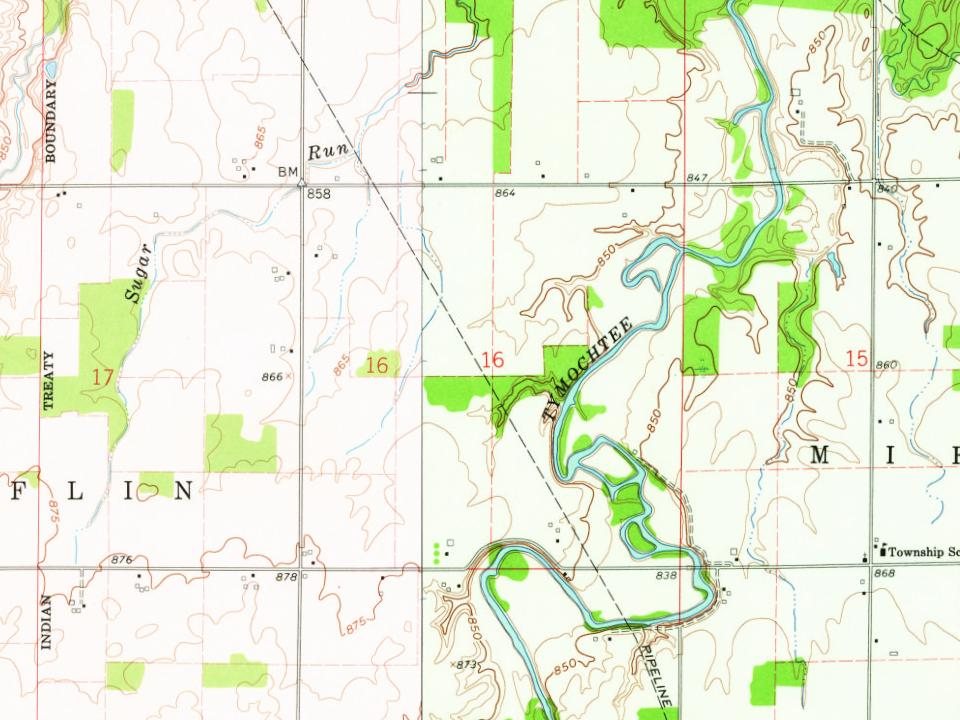
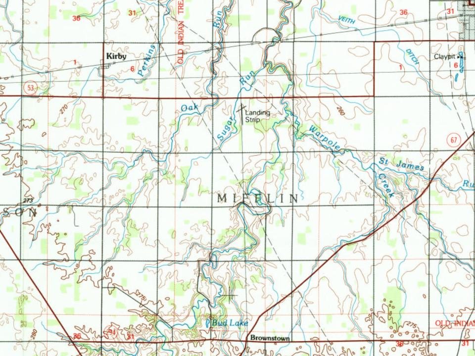
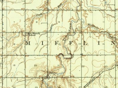
Mifflin Township on the map, 1907 to 1986
Every edition of the U.S. Geological Survey’s map of Mifflin Township. Tap a year, or press play to watch the town change.
1907Upper Sandusky sheet · 1:62,500
U.S. Geological Survey historical topographic maps (public domain), via Esri’s collection of the scans. The red ring marks the center of Mifflin Township.
The story so far
Mifflin Township, in brief
Wikipedia doesn’t have a history of Mifflin Township yet. The photos, dates and memories neighbors add here are how it gets written.
Mifflin Township is one of the thirteen townships of Wyandot County, north central Ohio, United States. The 2020 census recorded 741 people in the township.
Between the 2010 and 2020 censuses its population fell from 804 to 741 (-8%).
Intro from Wikipedia. Population: U.S. Census Bureau.
From the old history books
What they wrote about Mifflin Township in 1884
Passages that mention Mifflin Township, cut from the printed page as they were published.
The history of Wyandot county, Ohio, containing a history of the county1884 · page 853Read the page →
Read the text
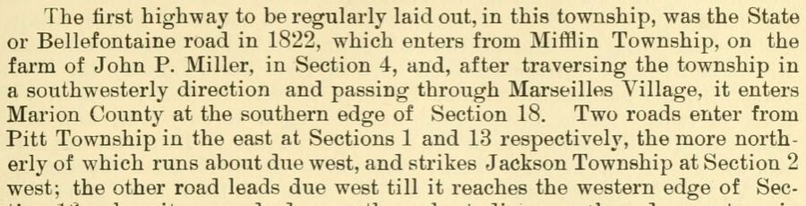
The first highway to be regularly laid out, in this township, was the State or Bellefontaine road in 1822, which enters from Mifflin Township, on the farm of John P. Miller, in Section 4, and, after traversing the township in a southwesterly direction and passing through Marseilles Village, it enters Marion County at the southern edge of Section 18. Two roads enter from Pitt Township in the east at Sections 1 and 13 respectively, the more noi'therly of which runs about due west, and strikes Jackson Township at Section 2 west; the other road leads due west till it reaches the western edge of Sec-
Text read by machine from the scan; it may contain errors.
Scans and text from the Internet Archive. Books published in 1930 or earlier, which are in the public domain.
Timeline
Mifflin Township, 1825 to 1907
Woven from the archive, old maps, post office records, the National Register and the people born here.
Founding dates: Wikidata, Wikipedia, the U.S. post office records of Blevins & Helbock (CC0) and the Census. Homes by year built: Census ACS 2020–24. National Register of Historic Places: National Park Service (list of May 22, 2026). Old photos, postcards and papers: Wikimedia Commons, the Library of Congress and other public archives, credited on each item’s page. Maps: U.S. Geological Survey historical topographic maps (via Esri) and Sanborn fire-insurance maps (Library of Congress). History text and census tables: Wikipedia (CC BY-SA 4.0). Places that used to be: USGS Geographic Names Information System (2021). How TownRatings grades history →
From Wikimedia Commons (3), U.S. Geological Survey historical maps, the US Post Offices dataset (Blevins & Helbock), the USGS Geographic Names Information System and old county and town histories (Internet Archive). Archive images are copied here with their credits and licenses, shown on each photo’s page. Refreshed monthly.
 2015
 2015
 2006


